Don't look at me like that, Kevin.
At 4:04am on Monday, July 26, my hiking partner Wade and I set out to attempt the Elks Traverse, a route that connects all seven 14ers in Colorado's Elk Range:
This was to be our second shot at the line following a failed attempt last summer, in which we made it to about the halfway point and then had to bail off South Maroon down to the Maroon Bells Scenic Area in the middle of the night, due to me struggling with severe altitude-related fatigue. We spent a few hours shivering and trying to sleep on the cold hard floor of a pit toilet next to the parking lot, then hitched a ride to Aspen in the morning to meet up with Wade's wife for a delicious breakfast of disappointment at some restaurant I've since forgotten.
Failure is always a hard pill to swallow, but it's all part of the game when you're tackling stuff as difficult and demanding as the Elks Traverse. After a decade of ultrarunning, long-distance hiking, and fastpacking adventures, I've come to terms with the fact that things don't always go your way, and sometimes you just have to graciously admit defeat, learn what you can from it, and then move on.
But that doesn't mean you don't go back and try again.
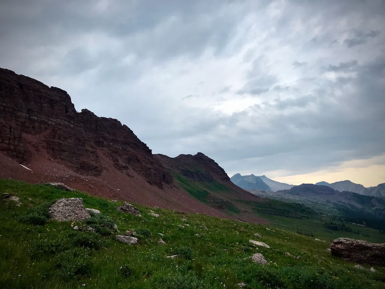
Capitol Peak peeking at me from afar as I set up my tent. See you tomorrow morning, big guy.
Wade and I met at the Castle Peak trailhead south of Aspen last Sunday afternoon. It's where the traverse ends, so the plan was to drop a car there so we could get ourselves back to the start once we finished.
The dropped car in question was to be mine, Yolo McFukitol, a fine and dandy and occasionally overheaty Subaru specimen hailing from the dying days of the last millennium. I gathered up all my hiking gear, my tent, and some food and water, and tossed it all into Wade's Jeep. Hid a spare key in the bushes nearby, just in case someone besides me needed to come rescue YMF. Hopped into the Jeep and then we were off to the Capitol Peak trailhead and the start of our traverse, west and a little bit north of Aspen.
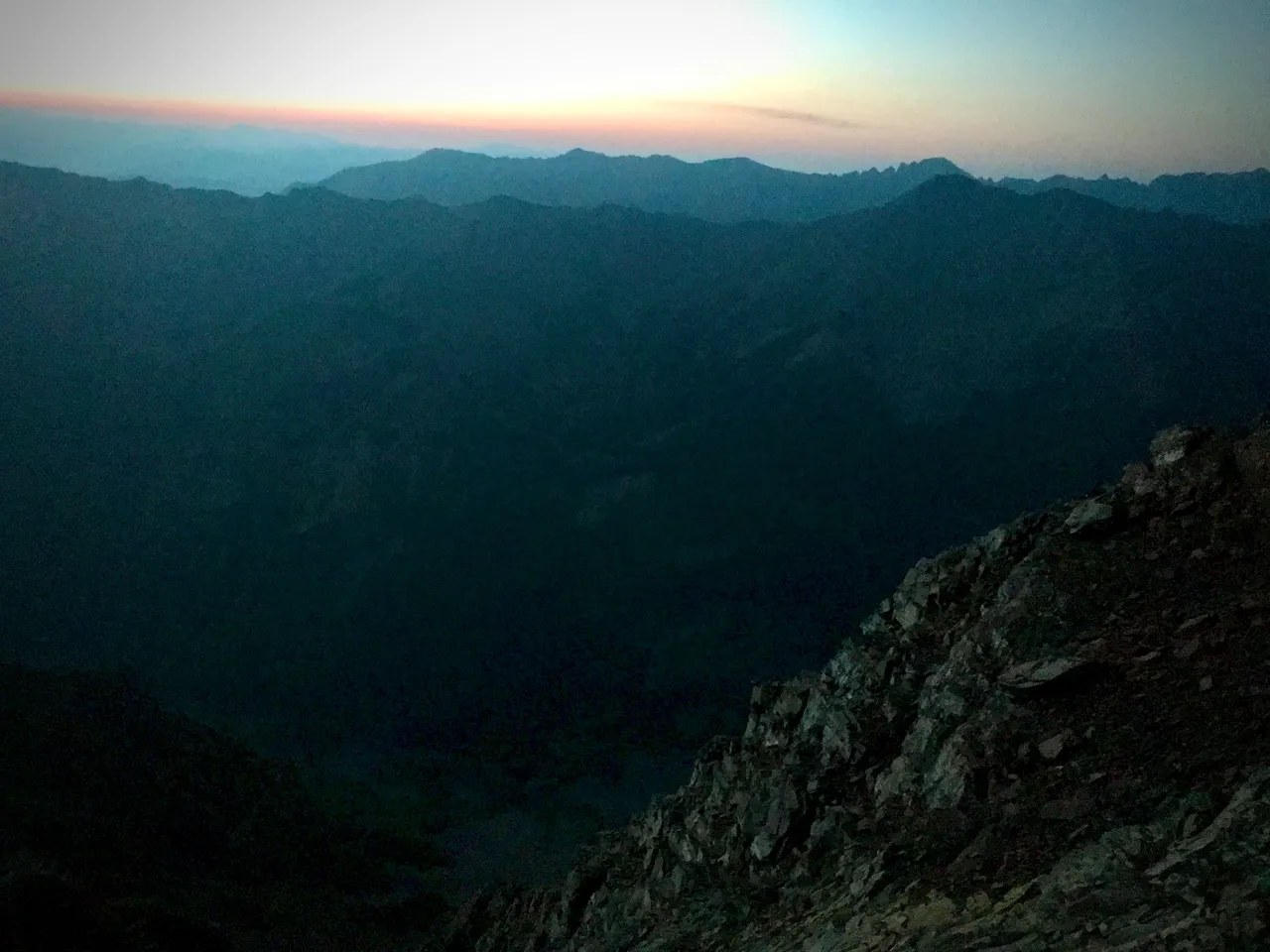
After what I'm sure would have been a wonderful night of sleep if not for the herd of cattle drinking and carousing in the woods nearby, we got up at 3:30am and were rolling up the trail toward Capitol just after 4.
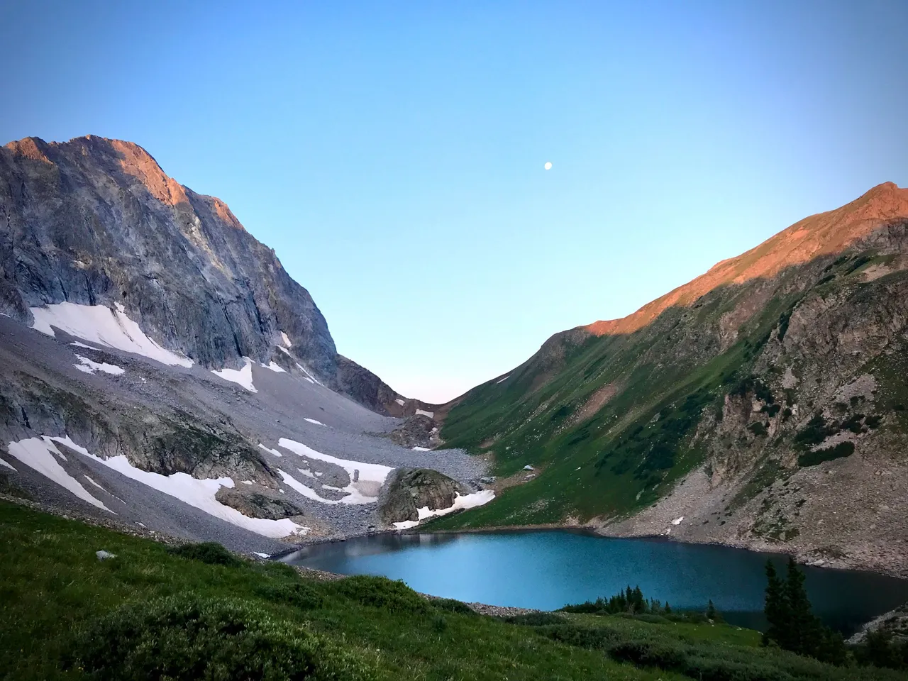
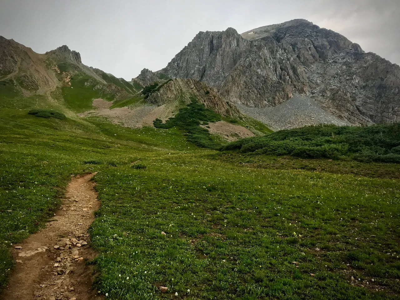
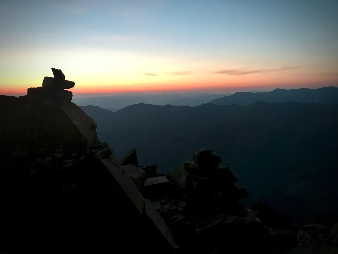
6:25am. The rising sun strikes the high country as slowly and gently as lightning doesn't under the setting moon's waning gibbous gaze. Capitol Lake, and Capitol Peak above on the left.
6:25am. Looking back down on our first valley climb.
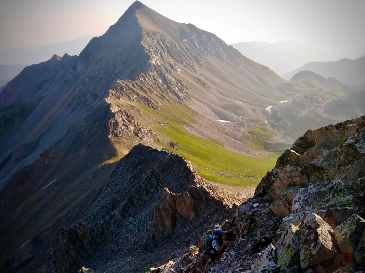
7:15am. Me picking my way up the direct ridge route across K2. Photo credit: Wade.
7:55am. Wade chilling on K2 just before we crossed the knife edge to Capitol's summit.
We summited Capitol at 8:31am and spent a few minutes chatting with three other hikers who had arrived before us, and were enjoying the view and preparing a burnt offering of thanks to the gods for safe passage across the knife edge. I ate a pop tart and then nearly repeated last summer's feat of dropping my water bottle several hundred feet off the side of the mountain. It's not littering, if it's impossible to pick it up, right?
Anyhow, that's one down. Let's go get Snowmass now.
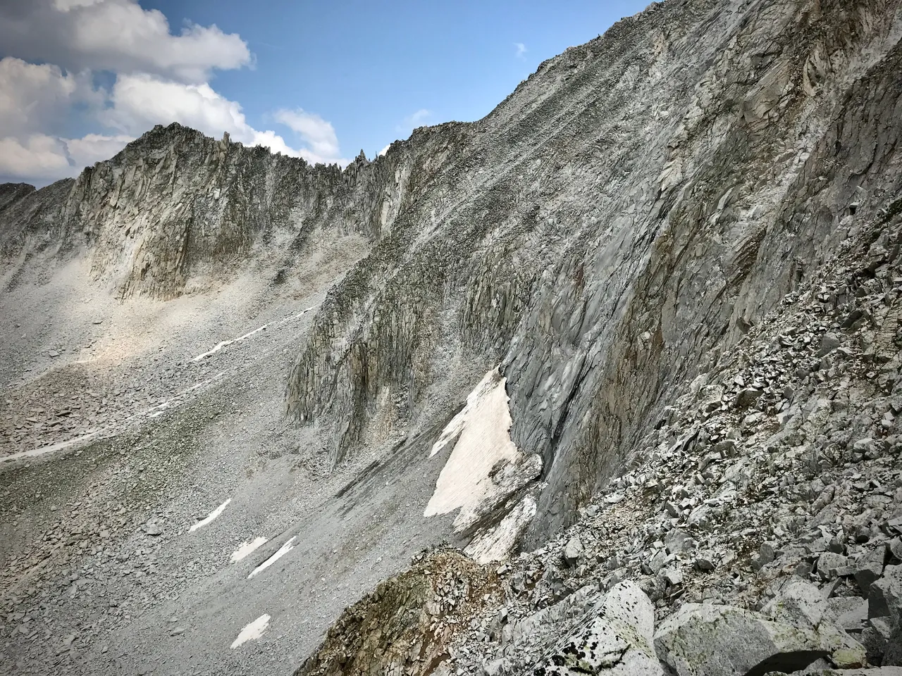
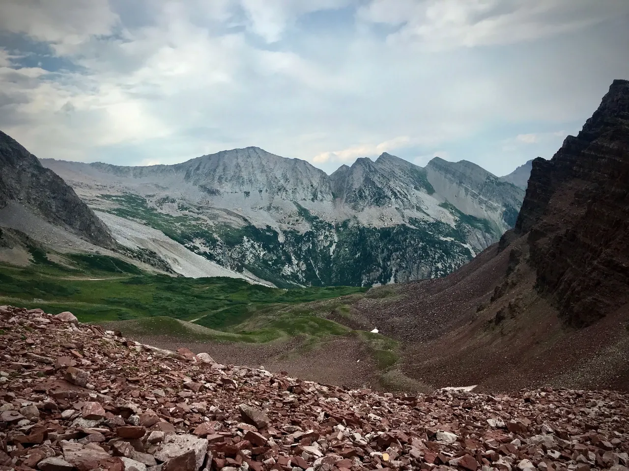
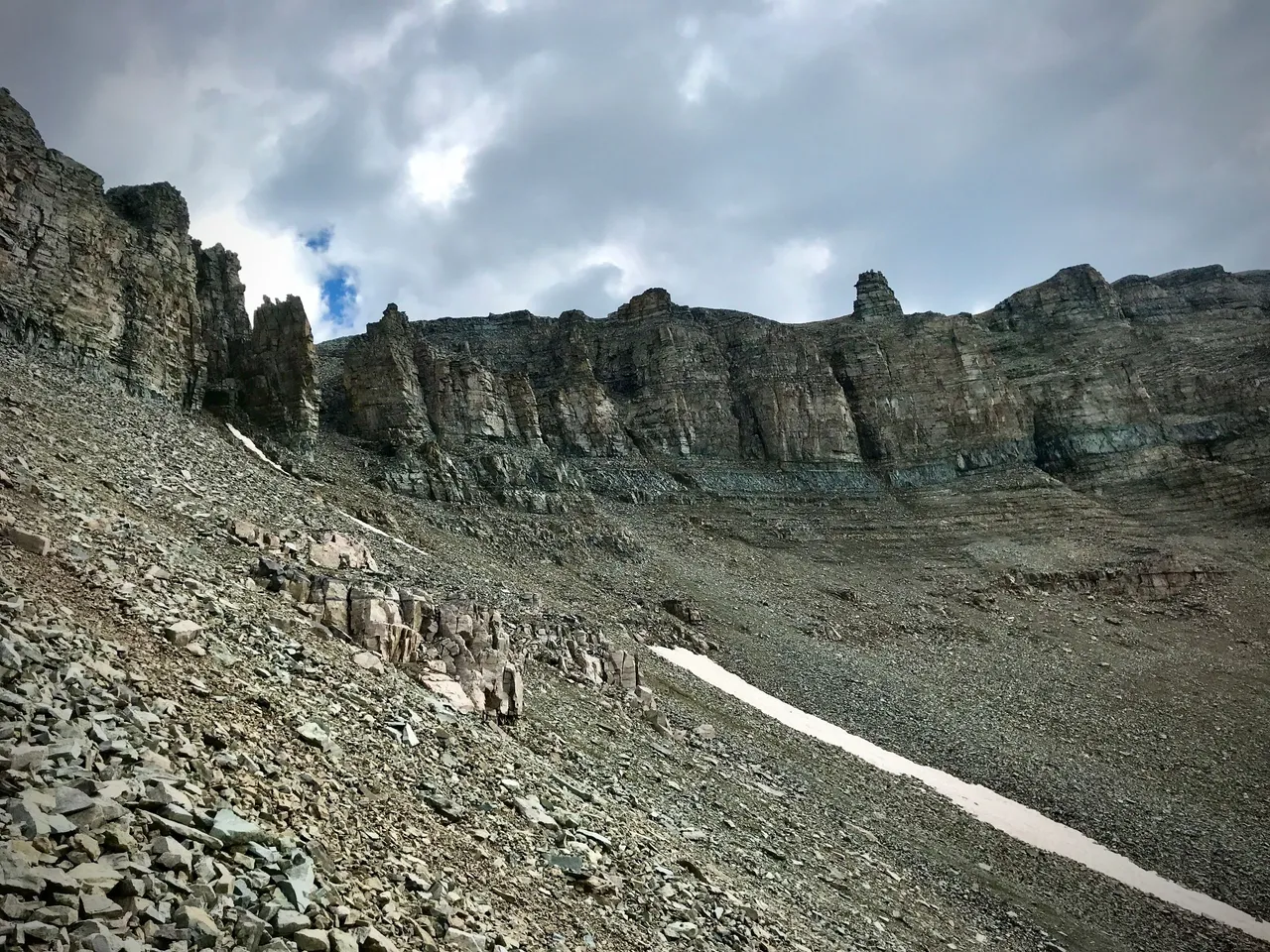
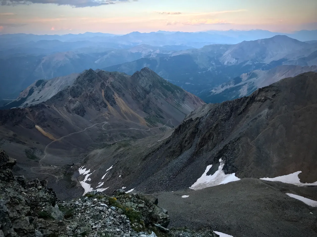
9:07am. Snowmass awaits across a valley of boulders and talus and scree. It will be slow going.
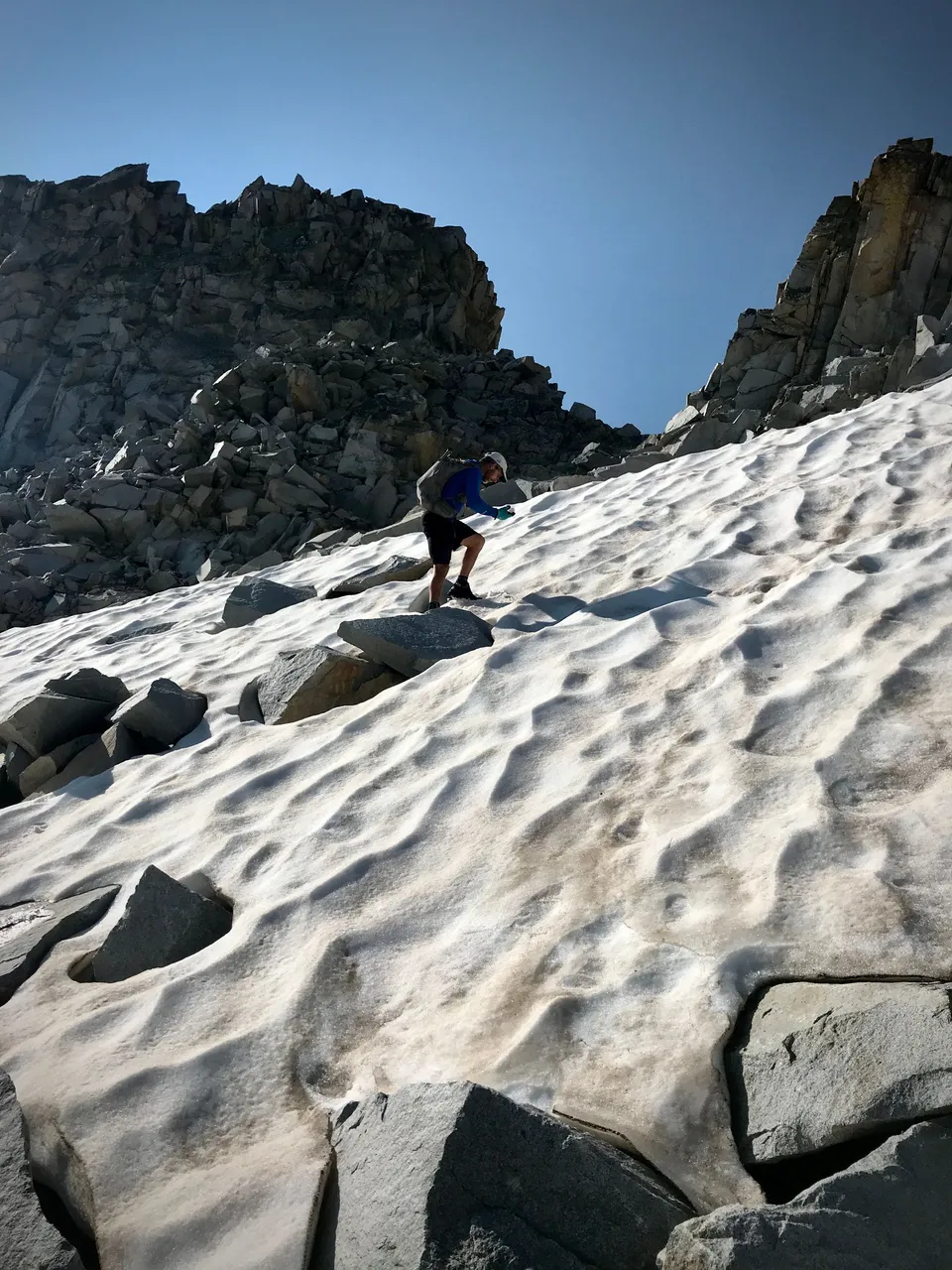
9:37am. Wade walking the snow up to our slot into the next valley.
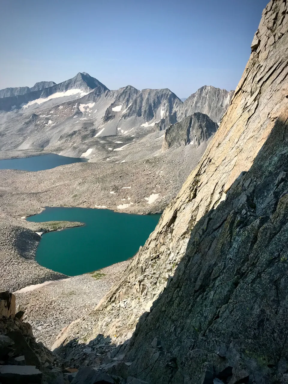
9:40am. The slot, aka Wandering Dutchman couloir, with Pierre Lakes below and Snowmass again in the distance.
10:08am. Looking back at the couloir and the scree slope we descended.
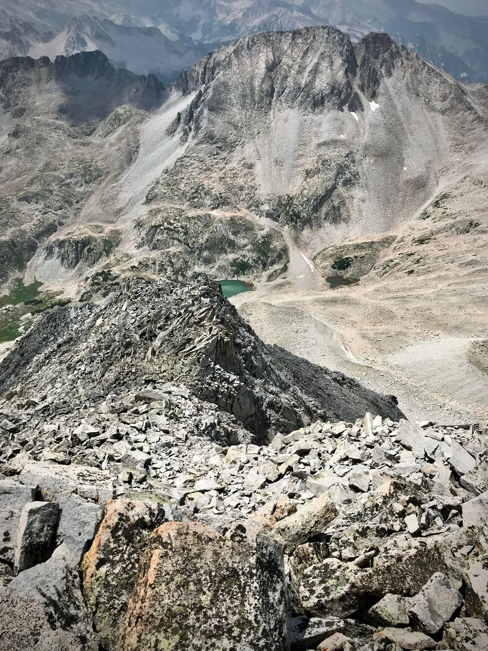
10:29am. A closer view on the Pierre Lakes.
10:50am. Looking back on our tracks coming up a snow gully. Easier, and safer, than hopping boulders.
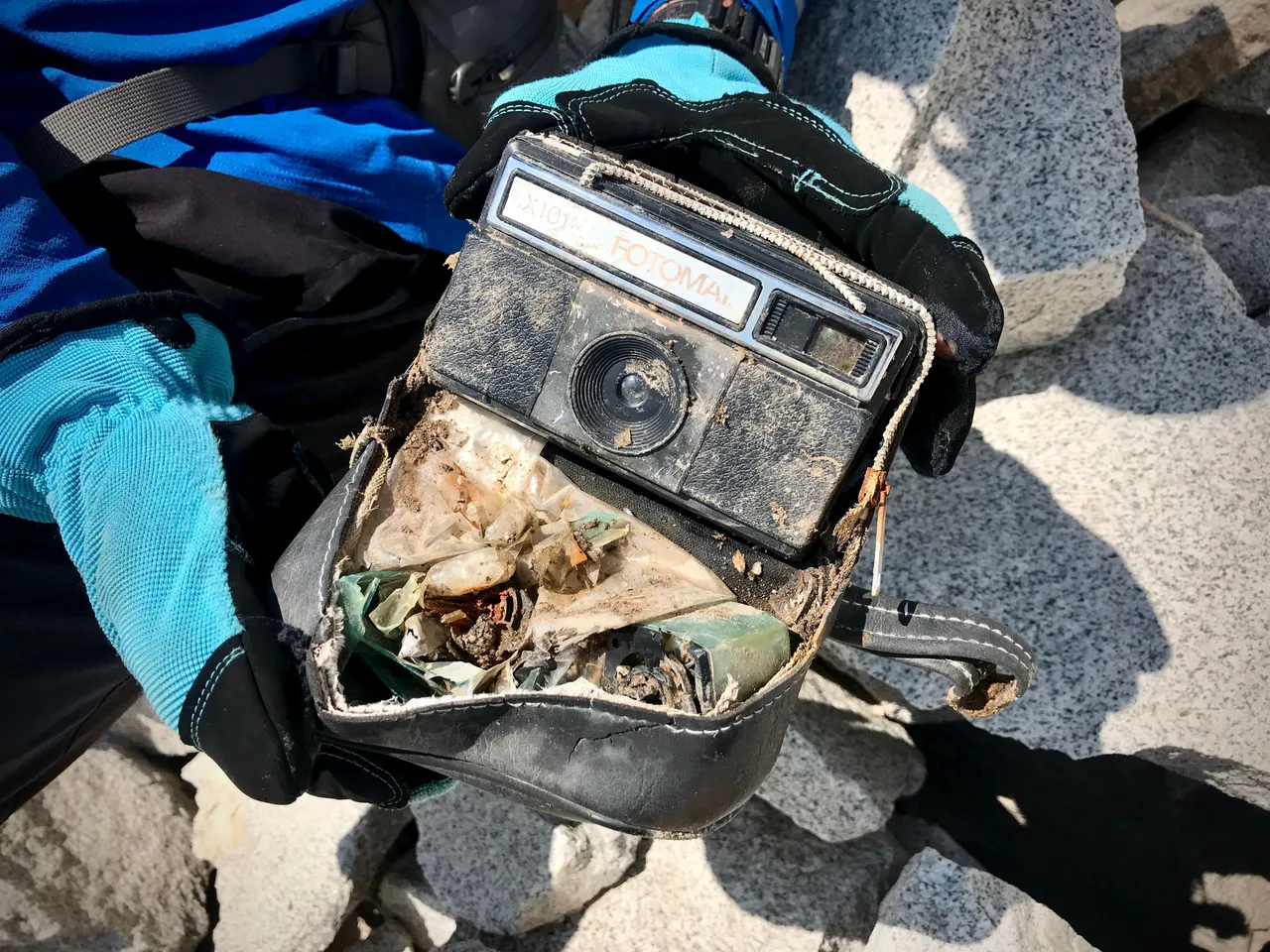
11am. Wade found an old camera half hidden among the rocks. One can't help but wonder if the film was still good—and if the owner ever made it out of there alive.
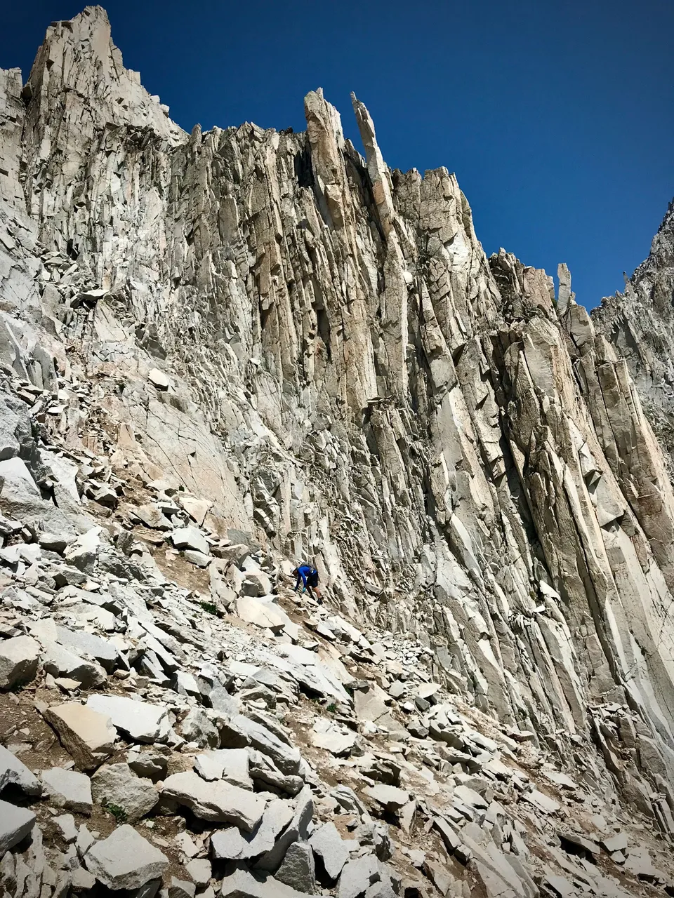
11:10am. Climbing…
11:20am. A view back across the Pierre Lakes and the valley of rocks.
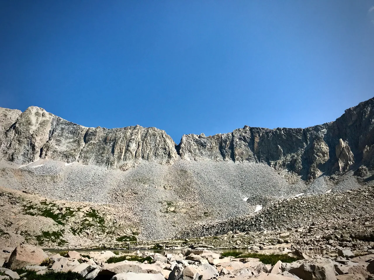
12:23pm. Me, alone, contemplating the massive buttress coming down Snowmass' south side. At my (stupid) suggestion, we'd started up a more direct line to the ridge and summit, but it turned out to be beyond my technical climbing ability, so while the more experienced climber Wade continued on the high line, the less experienced climber Brandt descended and explored this safer and less stupid route around the buttress.

2:07pm. A view on Geneva Lake and Meadow Mountain as I ascended Snowmass after skirting its south buttress.
2:07pm. That's looking at the ridge Wade went up, and I tried to go up. Doesn't look too bad from this distance, but I assure you it was a wild one. I would've taken a picture when I was up there, but using my hands for anything besides holding on for dear life would've probably meant dying. So you'll just have to use your imagination.
2:36pm. Almost at the top.
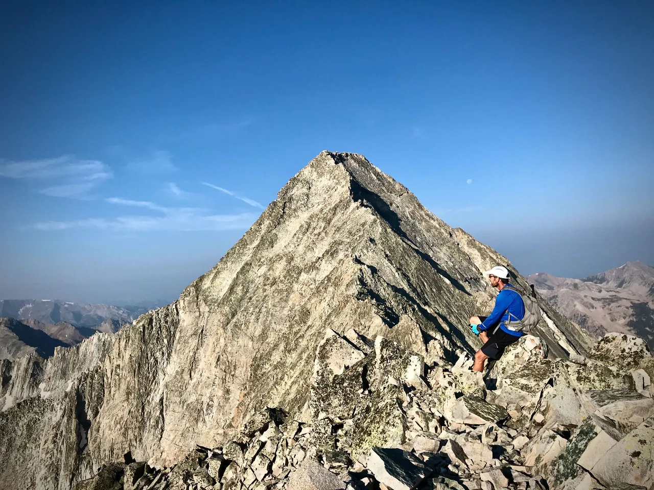
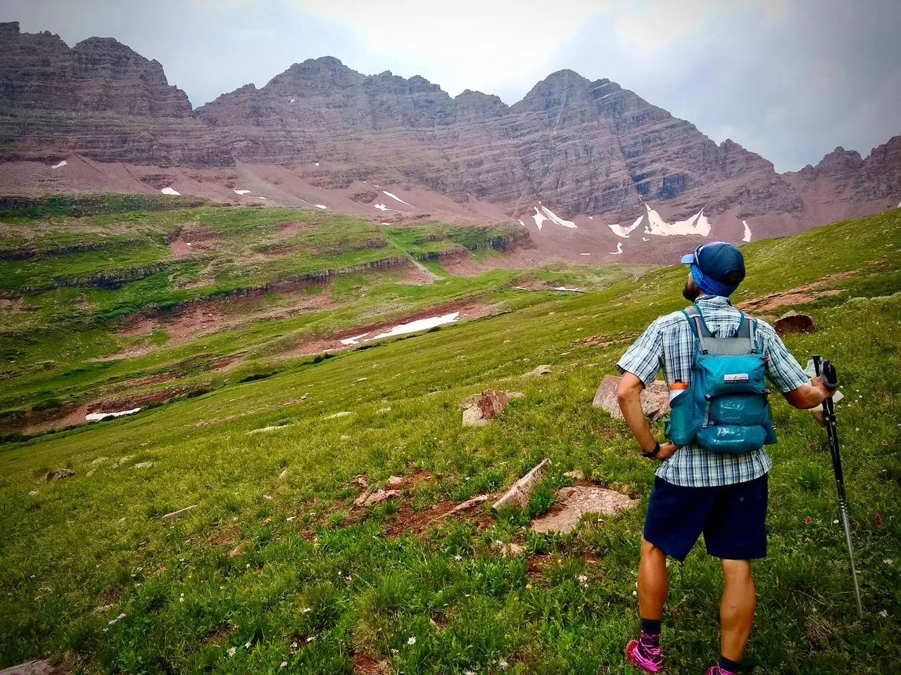
Wade made it to the Snowmass summit at 2:05pm; I arrived 45 minutes later to find him napping in the sun. I'd been dealing with a bit of discouragement for being unable to manage that technical ridge, so it was nice to rejoin my partner, have another pop tart, and prepare together for the next segment of our journey: The Bells approach.
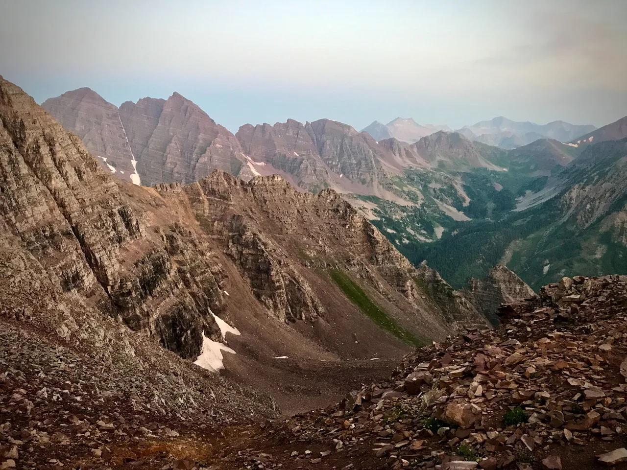
3:30pm. Making our way down the slopes of Snowmass. North Maroon Peak and South Maroon Peak, aka The Maroon Bells, are visible way off in the distance, to the right. Pyramid is also visible, poking up even farther off and just to the left of the Bells. Just a hop, a skip, and a jump away, as I like to say. We'll be there in no time.
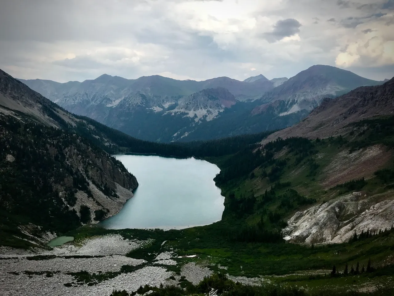
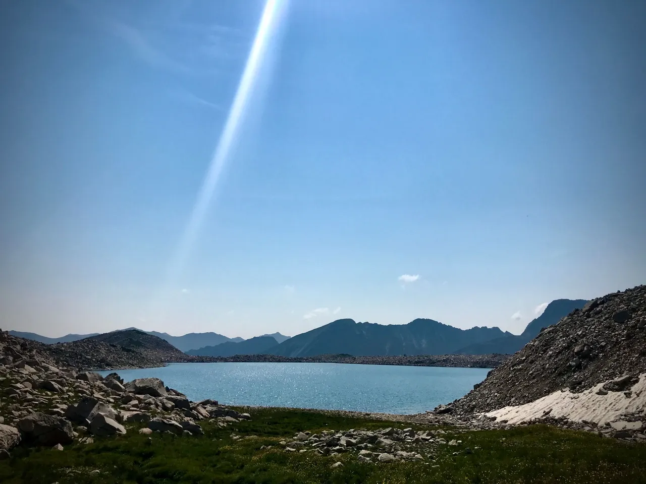
4:16pm. Snowmass Lake. From this point we'll veer to the right, stay high, and take the most direct route we can find over to the Bells.
4:33pm. Crossing the first trail we've seen in hours. This is the Geneva Lake segment of the Four Pass Loop, on its way up to Trail Rider Pass. That's not where we're going, so unfortunately we won't be making use of it.
4:38pm. Leaving the stark white rock of the Snowmass area, heading into the epic reddish wonderland of the Bells and Pyramid.
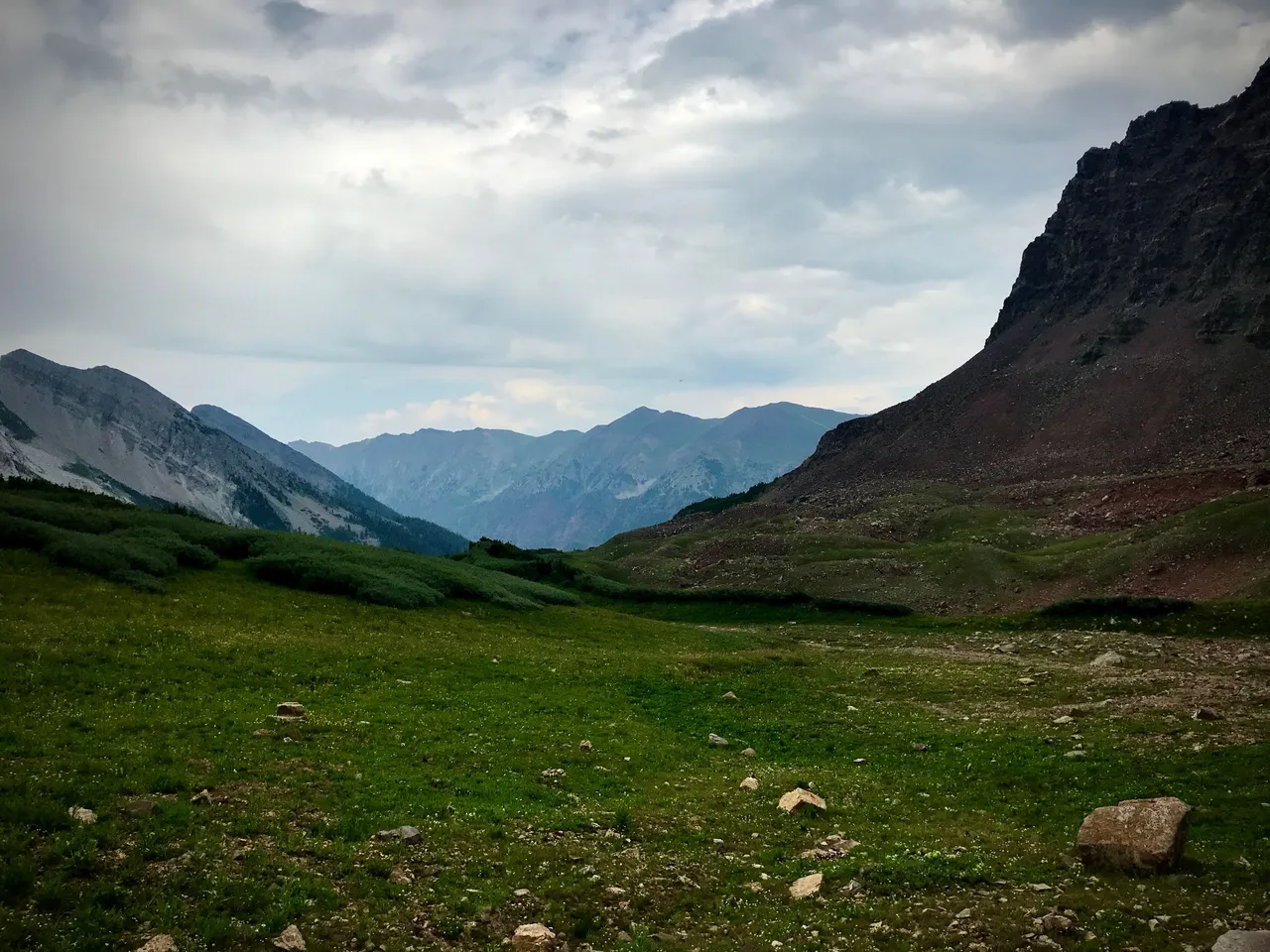
4:59pm. A gorgeous green plateau near the high point of our route away from Snowmass.
4:59pm. Can't see it from here, but Snowmass Lake is directly ahead and below this point.
5:55pm. In the valley that runs up to the west side of the Bells, looking back toward Snowmass.
6:04pm. The Bells, as seen from their wild west side. From this point, we'll cross Snowmass Creek, drag ourselves up a scree chute to a little notch called the gunsight, and then swing up to North Maroon Peak. Photo credit: Wade
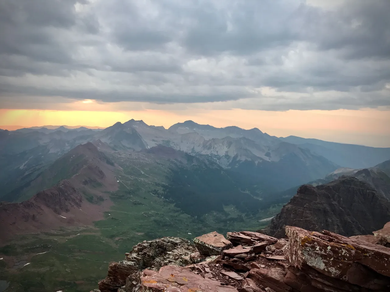
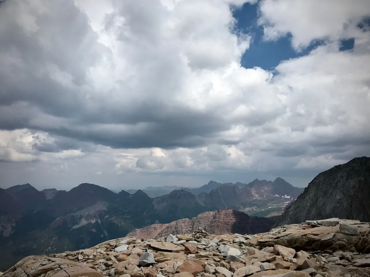
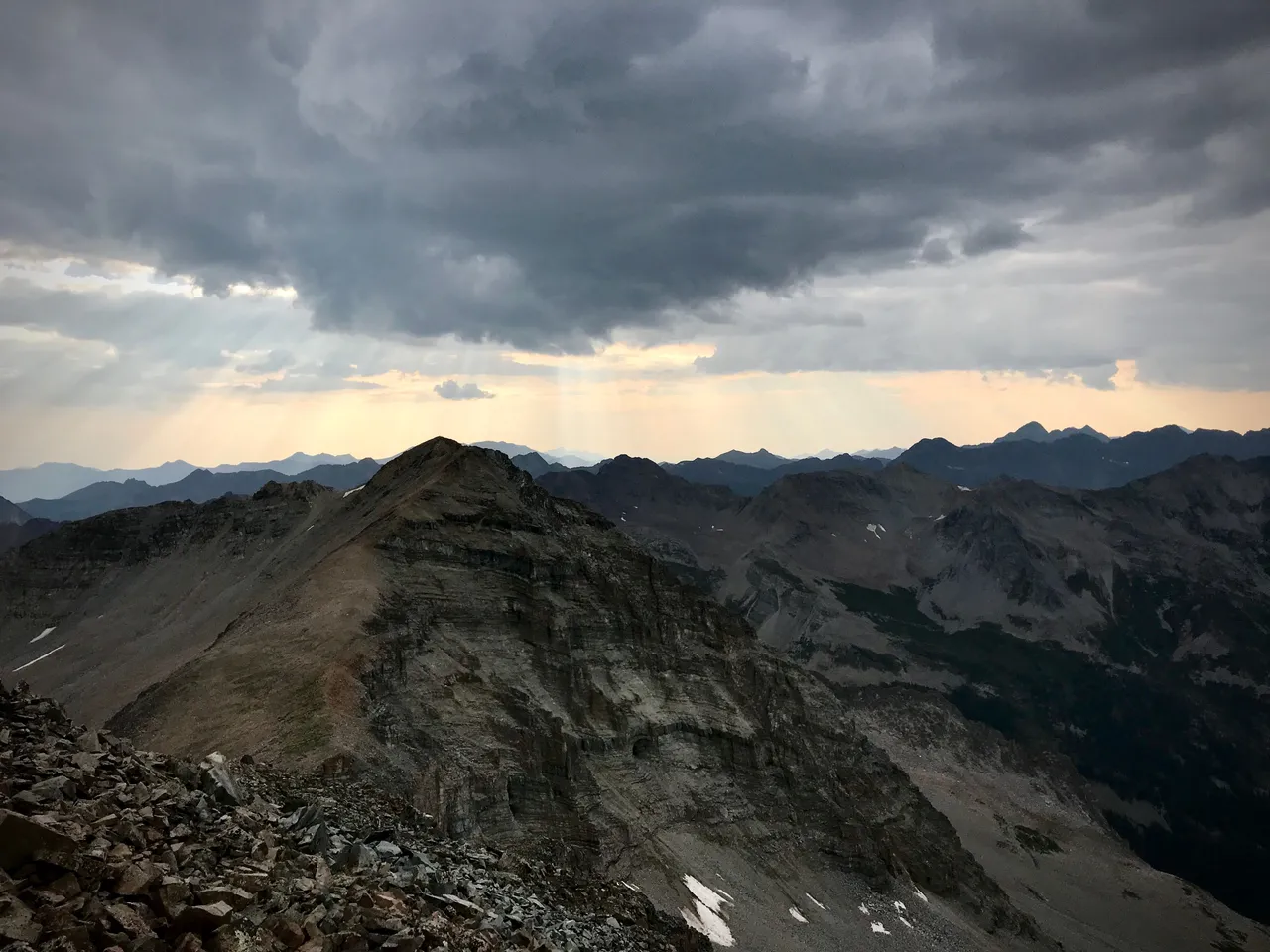
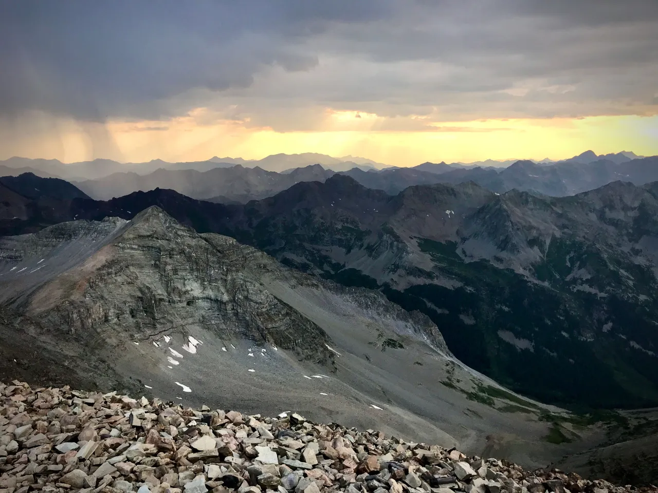
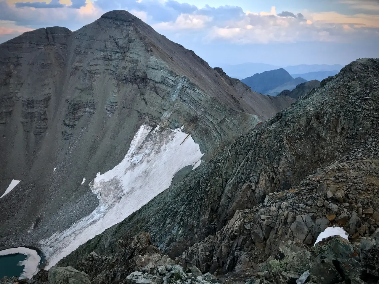
7:54pm. North Maroon Peak, looking back to Snowmass and Capitol.
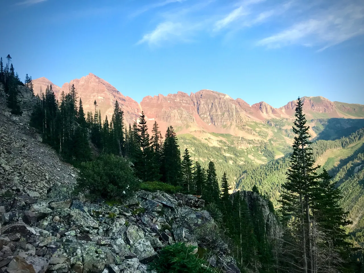
In fading light we faced one of the diciest ridges you'll find in the Elks: The Bells Traverse. It's Class 5 climbing with extreme exposure and poor rock quality. Every hold must be carefully tested before committing. Complicating matters was the fact that on our way up North Maroon we'd come through several rainshowers. It wasn't enough to soak us, but it was enough to get the so-called Deadly Bells a bit wet. So, we had to move fast to beat the darkness, and we had to do it on damp rotting rock. In addition, we were traversing north-to-south, which is considered more difficult than the preferred south-to-north route because it involves more downclimbing.
Fortunately, I've had Wade as a sort of unintentional climbing instructor over the past couple years. I say "unintentional" because it's never really been a planned thing. Wade will say something like Hey Brandt let's go climb X, Y, and Z mountains and I'll say Sure why not without doing any research into it, and then when we get there it turns out to be more technical than either of us expected since Wade didn't do any research either, and I'll say Wade how in hell am I supposed to climb this, and he'll say Hmmm, I guess do this, this, and this, and it just works out.
Last summer I managed this traverse, but I was slow and nervous. This past Monday evening, I was confident and fast, and despite the conditions we flew across the traverse in an hour and change, arriving at South Maroon Peak at 9:07pm.
South Maroon was where we made the hard decision to abort our mission last summer. But this year, things were definitely looking up. I celebrated by eating another pop tart. Surprise, this whole report is actually just native advertising for pop tarts. Gotcha.
Now down the shitty slip-n-slide South Maroon Trail, thankfully made a bit less shitty by the same rainshowers that had worried us on the Bells, and onward to Pyramid.
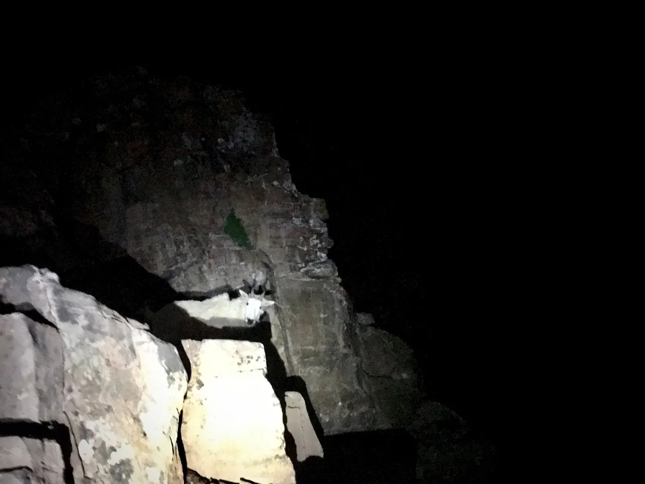
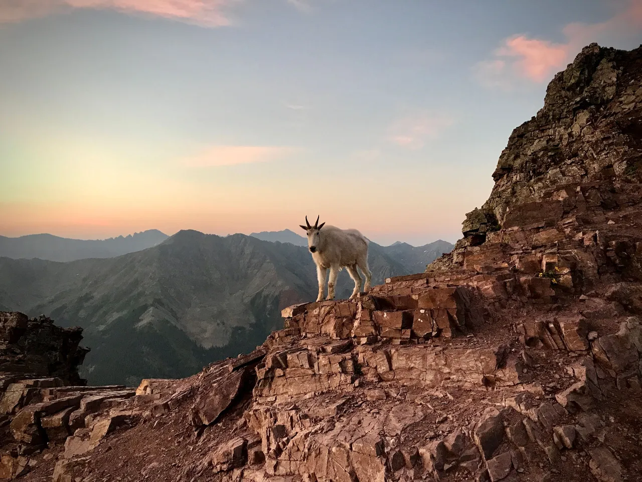
3:46am. Overnight photos are few and far between. We meet a solitary prowling Kevin way up high somewhere on the side of Pyramid. I'm convinced he was stalking us and planning to head-butt us off his mountain. You can't trust mountain goats, especially not at night.
5:24am. Looking southeast-ish, on our way down from the summit. Tired and sleep deprived. Second sunrise.
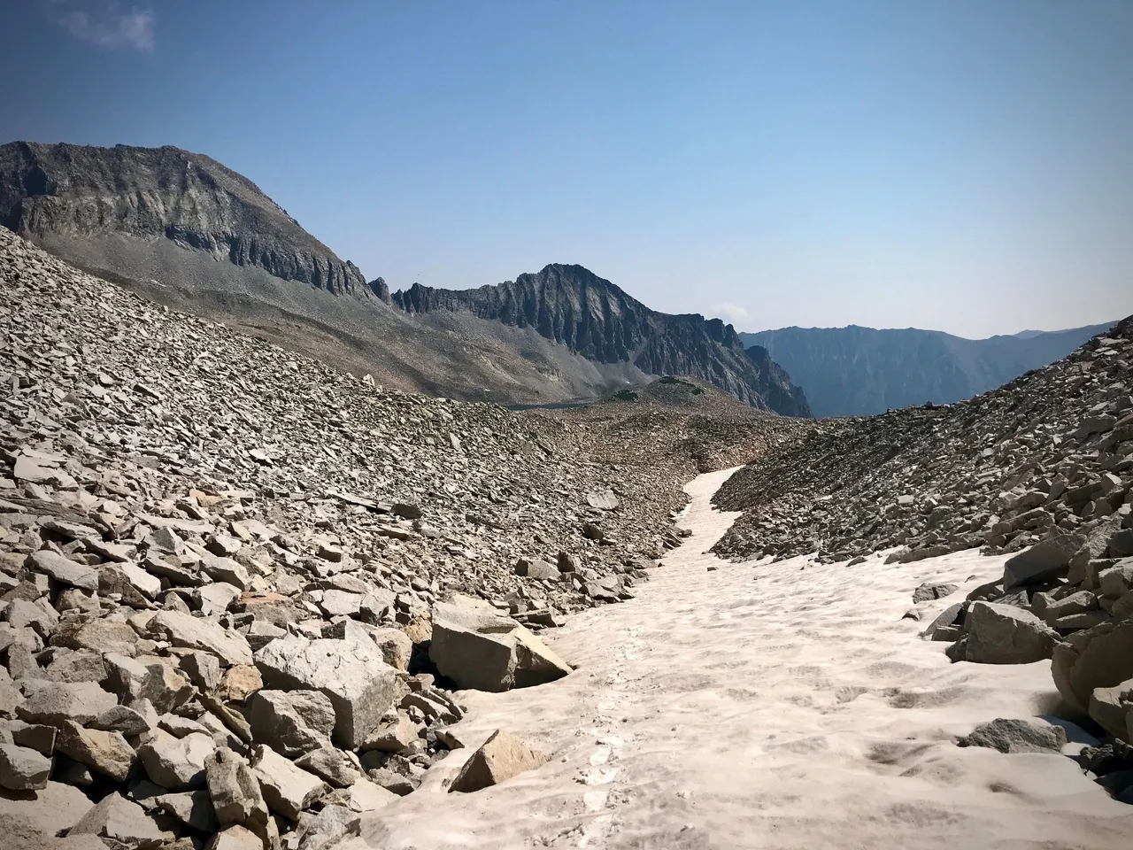
5:34am. There's not really a trail to speak of up here. Cairns mark the way, and we moved slowly at times struggling to find them at night. The daylight made things easier, and we picked up the pace again as we descended.
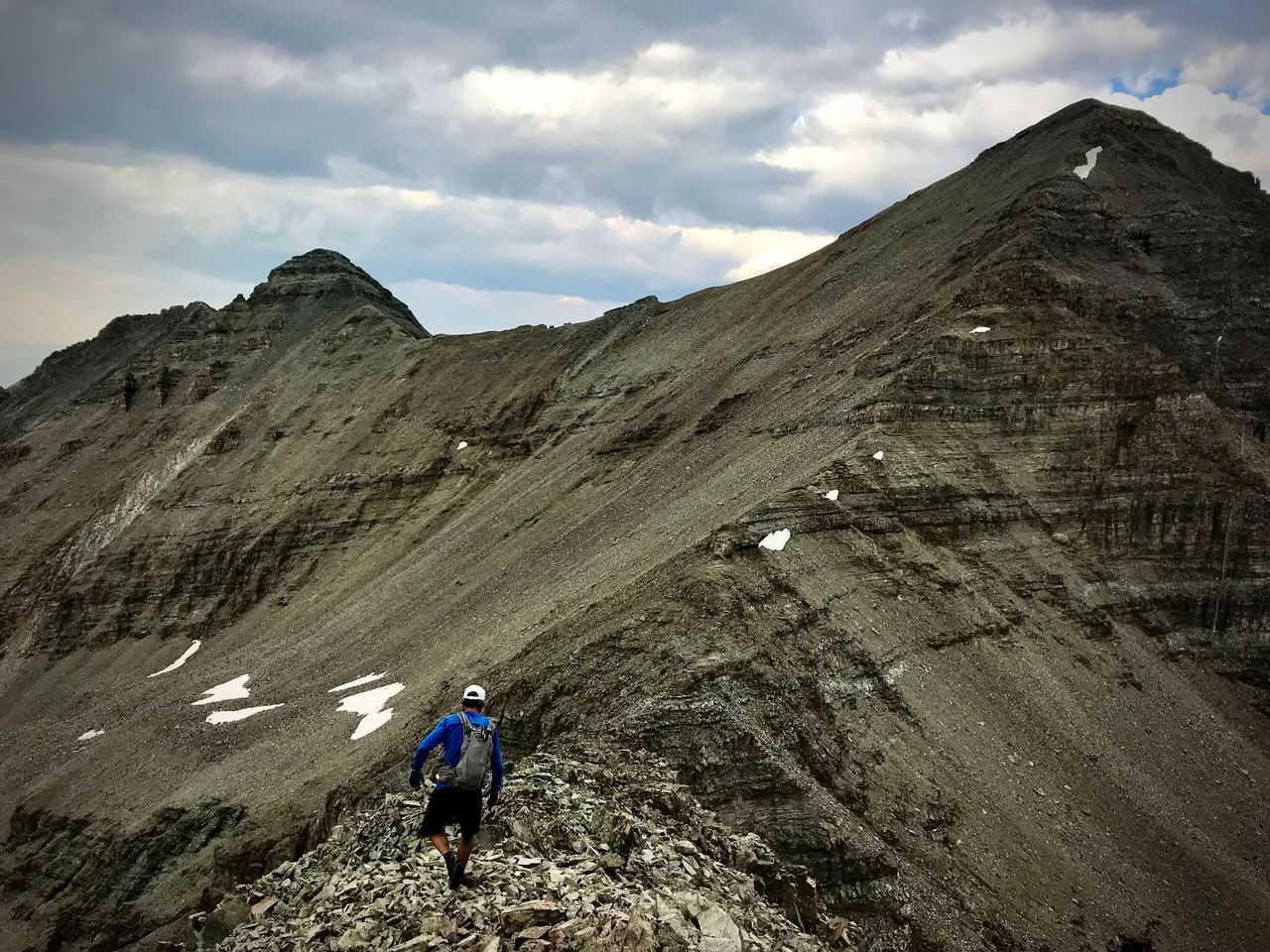
5:53am. This is the crap we came up last night. What a slog. The Bells Traverse is visible directly across the valley at the upper left. Snowmass and Capitol are the farthest peaks in the distance.
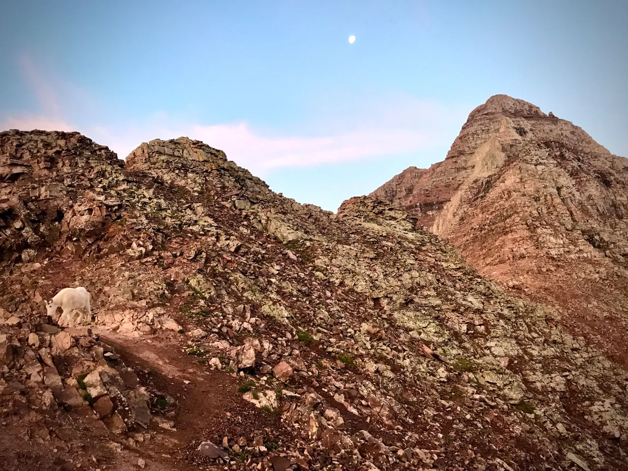
5:54am. Go away, Kevin.
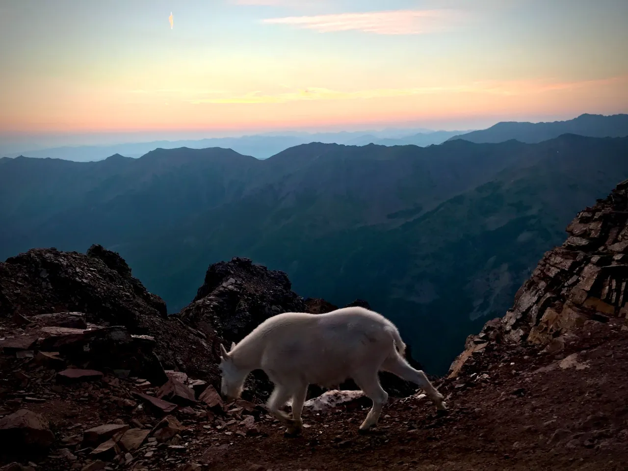
5:55am. Goddammit Kevin you come any closer I'll stab you with my fucking hiking pole. Go find someone else to murder.
7:14am. Almost down Pyramid. Who needs sleep when you can just pop one of Wade's 200mg caffeine pills. WOOOOOOOOOOOOOOO
With Pyramid behind us, we've completed 5 of the 7 summits. Castle and Conundrum are still a long ways off, but that's okay, we've finished more than half the distance, and we're feeling pretty good all things considered.
Our first stop is the Maroon Bells Scenic Area, where Wade stashed a stash of water and trail mix in one of the park's bear-proof trash receptacles a few days ago. It'll be nice to stock up; we're running a bit low on calories.
It's a merry hike down past Crater Lake and Maroon Lake, and finally into the scenic area itself, reminiscing about last year's attempt and laughing about that miserable pit toilet experience and feeling grateful for our strength and performance thus far. As we're heading down, we pass many hikers on their way up, eager to set eyes on the Bells and snap the exact same photo that hundreds of thousands of other photographers have already snapped.
We arrive at Wade's stash location to find…
Nothing.
The stash has been stolen.
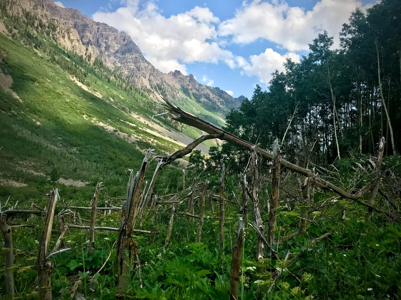
10:46am. Down along West Maroon Creek to the confluence, turn south and head up the valley along East Maroon Creek. Sure we might've lost our stash but we're moving fast, and there's still just enough food between the both of us to make it to the finish, and hey, at least we weren't here when the avalanche mowed these trees down. Over the next few miles or so I'll take my second 200mg shot of caffeine and get both feet soaking wet trying to navigate treacherous creek crossings. The mosquitoes will swarm us anytime we stop and the crows will keep eyes on us from above, hoping to see us stumble and fall and die.
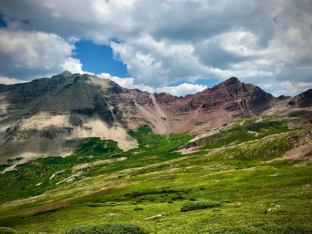
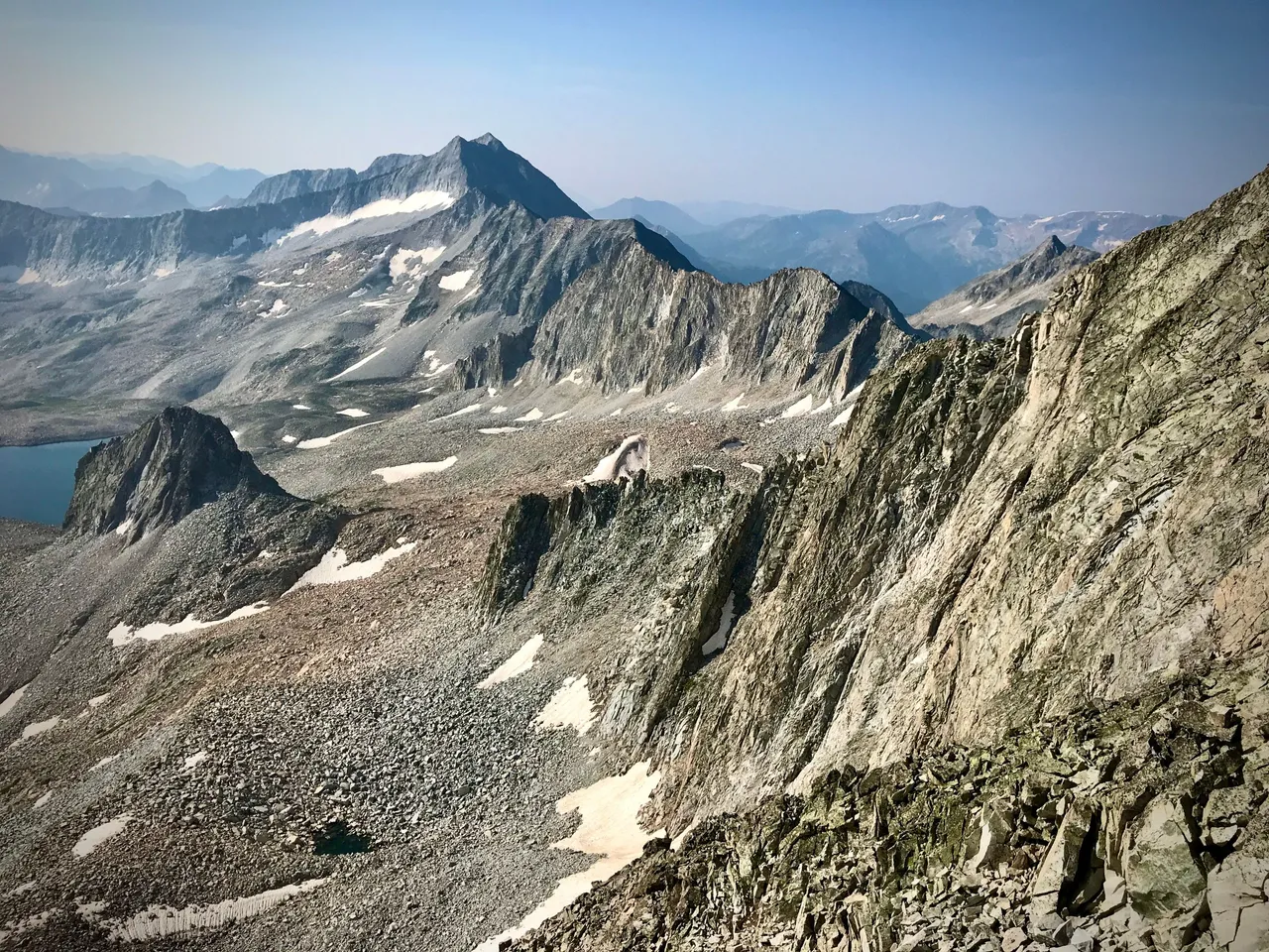
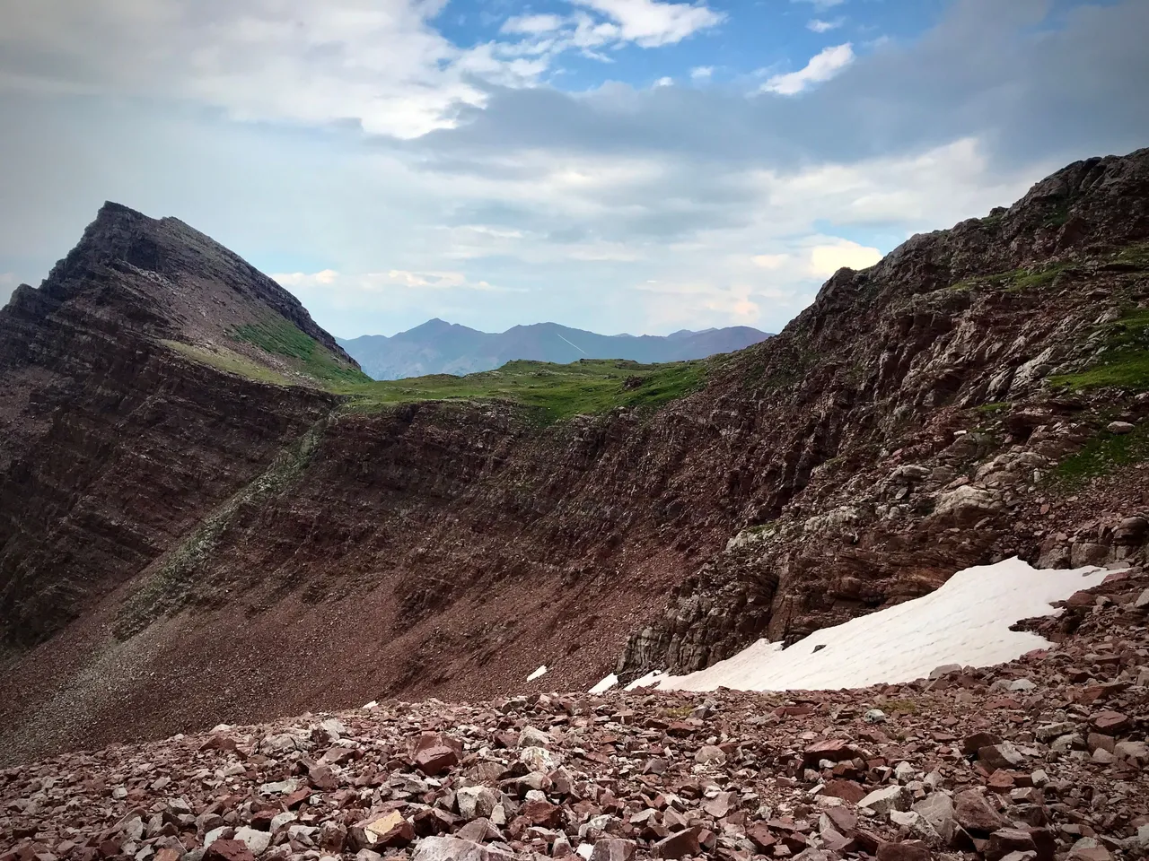
2:17pm. All the way up to the top of the valley, over Cooper Pass, and around to Triangle Pass. Here we pause for a break, and I take my shoes and socks off to dry my feet and stave off the trench foot. We think we're looking at Castle and Conundrum here, but that reddish one on the right is actually Point 13,550 and to the left is Castleabra. Mass confusion ensues as we follow Eric Lee's GPS track down the valley, wondering why we're deviating so far from the obviously correct route. Something's wrong… STAY ON THE GPS TRACK! Something's not right here, shouldn't we be way over there??… WE'RE SLEEP-DEPRIVED, NOT THINKING RIGHT, JUST STAY ON THE GPS TRACK! …and eventually, we realize that the error was ours, and the GPS was right all along, and we find our final approach and begin the climb into and up the last valley.
5:17pm. After a long and slow climb up the rockiest highway ever we've got a sight on what I think is the saddle between Castle and Conundrum. Wade doesn't recognize it. I've been leading this section and I'm having my doubts now but we're already so high that we might as well just go all the way up and see what we find, so that's what we do.

5:33pm. Looking back down over all the nonsense we had to come up. As soon as we hit the saddle I realize my mistake. We aren't in the saddle between Castle and Conundrum—we're in the one directly east of Castleabra! Uhh… whoops, I guess? LOL
6:31pm. Castleabra. The mistake forced us to do a bit of extra ridge climbing to arrive at the proper Castle approach, but I think the mental toll of confusion and uncertainty was greater than the physical price we paid. Oh well, at least the weather held. Got to stay positive.
6:31pm. Above to the right is Castle, and to the left Conundrum. The long scree slope in front of Wade is where we should have gone up. Put another way, we just pioneered an alt route up C&C for future Elks Traversers to explore :)
7:17pm. Castle summit.
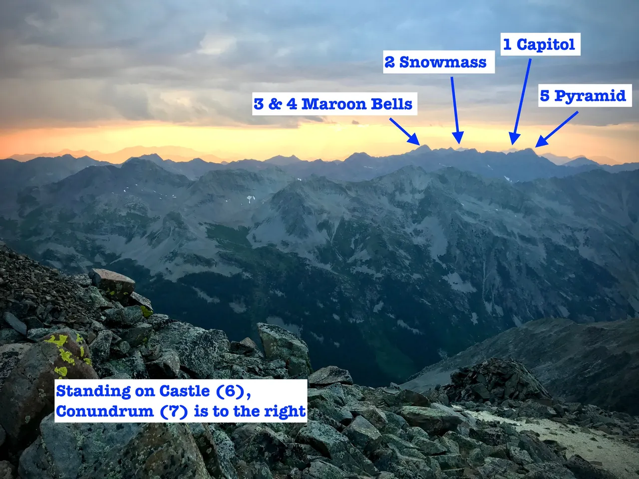
7:50pm. Conundrum summit. Far below stretches out the road we'll march down to reunite with Yolo McFukitol. To the right you can glimpse a bit of the trail we'll follow off Castle's northeast ridge.
7:50pm. Castle viewed from Conundrum. Did you know there are people crazy enough to actually ski down that kind of crap? Yep, ski season lasts all year around here.
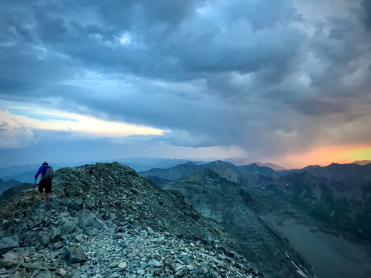
8pm. Second sun sets as we head back to Castle and begin the long final descent. It will be nearly 4 hours till we make the trailhead and the road will seem neverending as we shuffle down slapping at the bugs dive-bombing our headlamps, and seeing weird things that aren't actually real. But as all mountains must have a summit, every road must come to an end. It's just a hop, a skip, and a jump away.
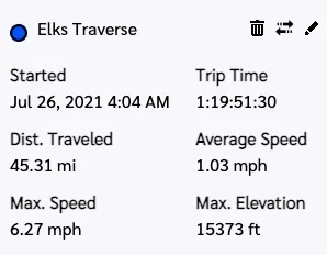
(43hrs 51min 30sec. Max elevation was 14,265, so clearly something is wrong with my InReach. All other stats look good though.)
Flyover
Wade's better flyover
(Flyover mileages are inaccurate; use them for visuals only.)
※ ※ ※ ※ ※ ※ ※ ※ ※ ※
⛰ ⛰ ⛰ ⛰ ⛰ ⛰ ⛰
※ ※ ※ ※ ※ ※ ※ ※ ※ ※
8-1-21. Let's do that again sometime. Maybe @otherbrandt will want to tag along.