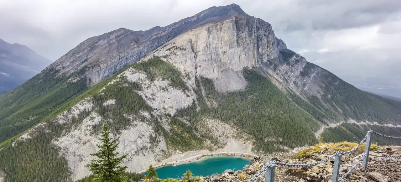
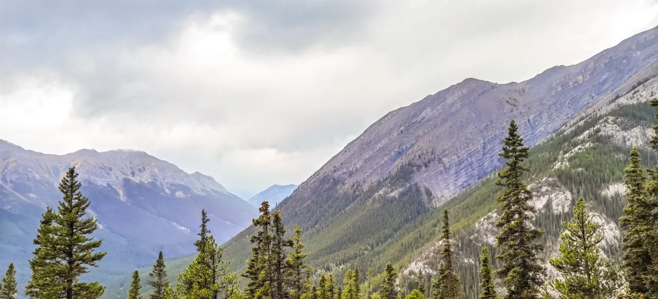
One of the hikes that has been on my radar for awhile now is Ha Ling Peak, Canmore, Alberta. Finally, we were able to check it off the list. From a distance it appears to be extremely steep, which it is, but that is not what we need to climb. The trailhead is located on the other side, which has a more reasonable incline. This first picture is a view of the eastern end of Mount Rundle from what is called “viewpoint #2.”
<>
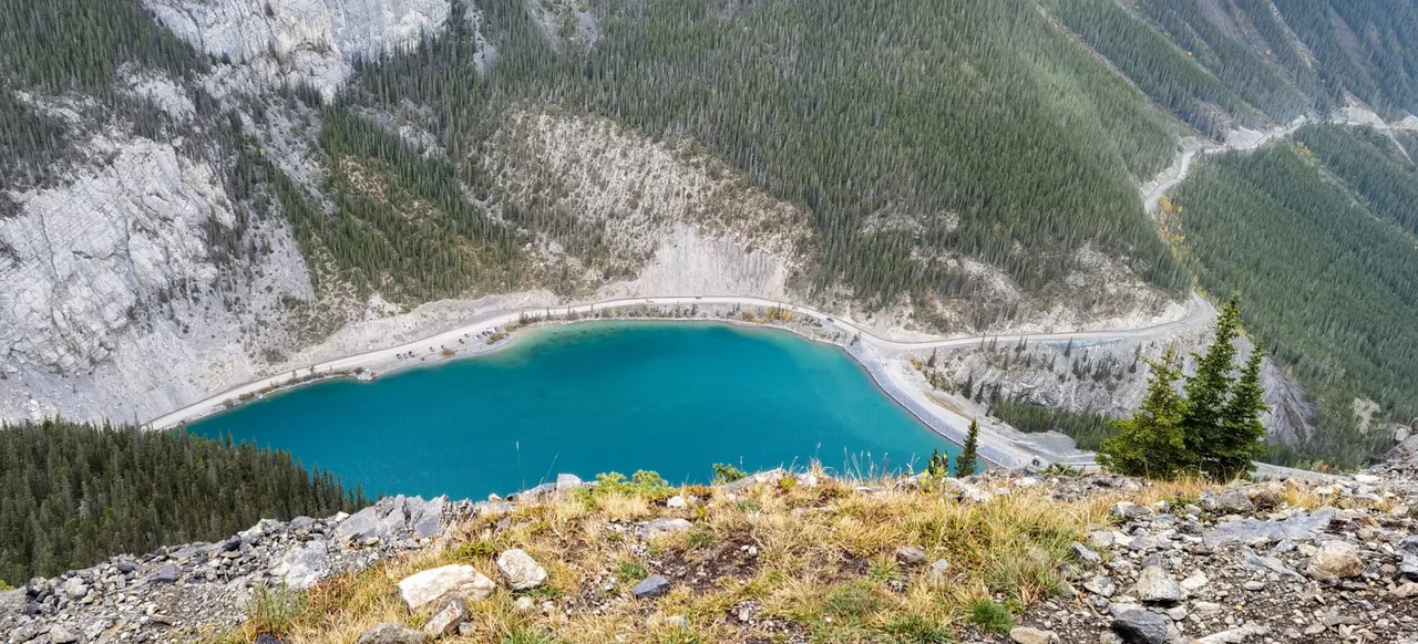
A bit closer up. They call it Whiteman’s Pond actually, which seems like a strange name. Love the water colour.
<>
This photo taken somewhere near viewpoint #1. Had to struggle with some light rain and wind during the hike. Oh how I wish the sun had made an appearance today! (It did on the way back home..)
<>
<>
<>
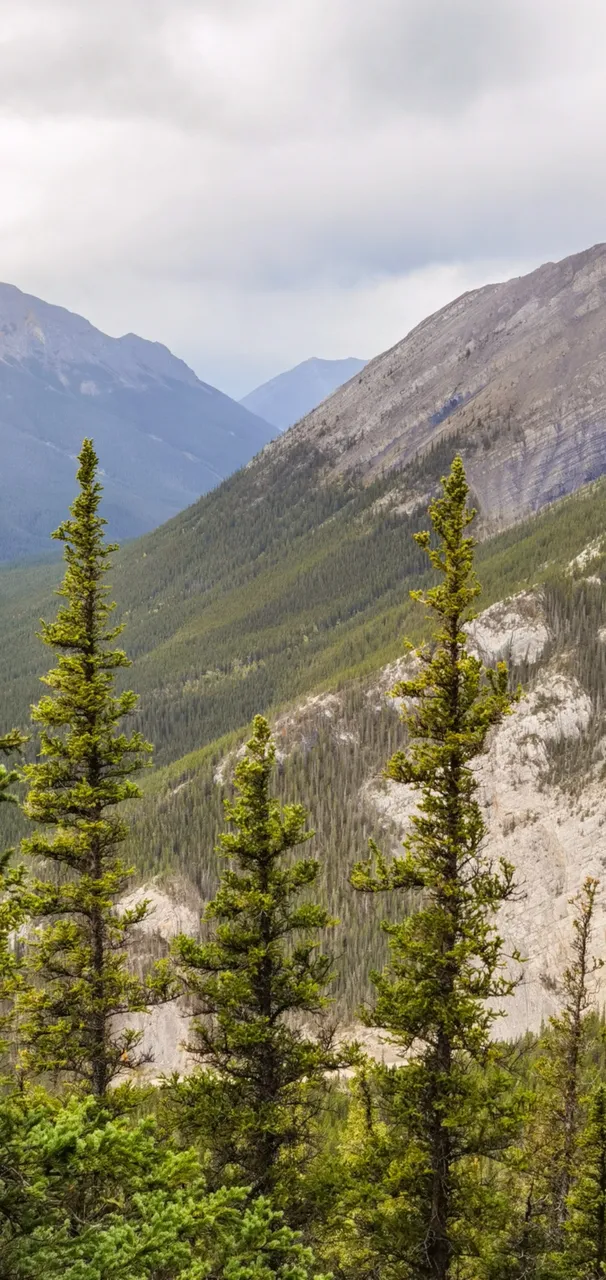
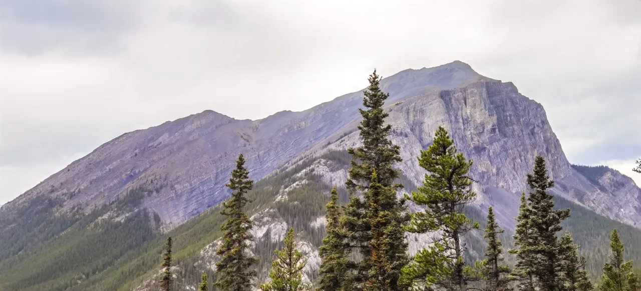
Three mountains, three trees.
A Huawei P40 Pro Smartphone was used. Editing done in Lightroom.