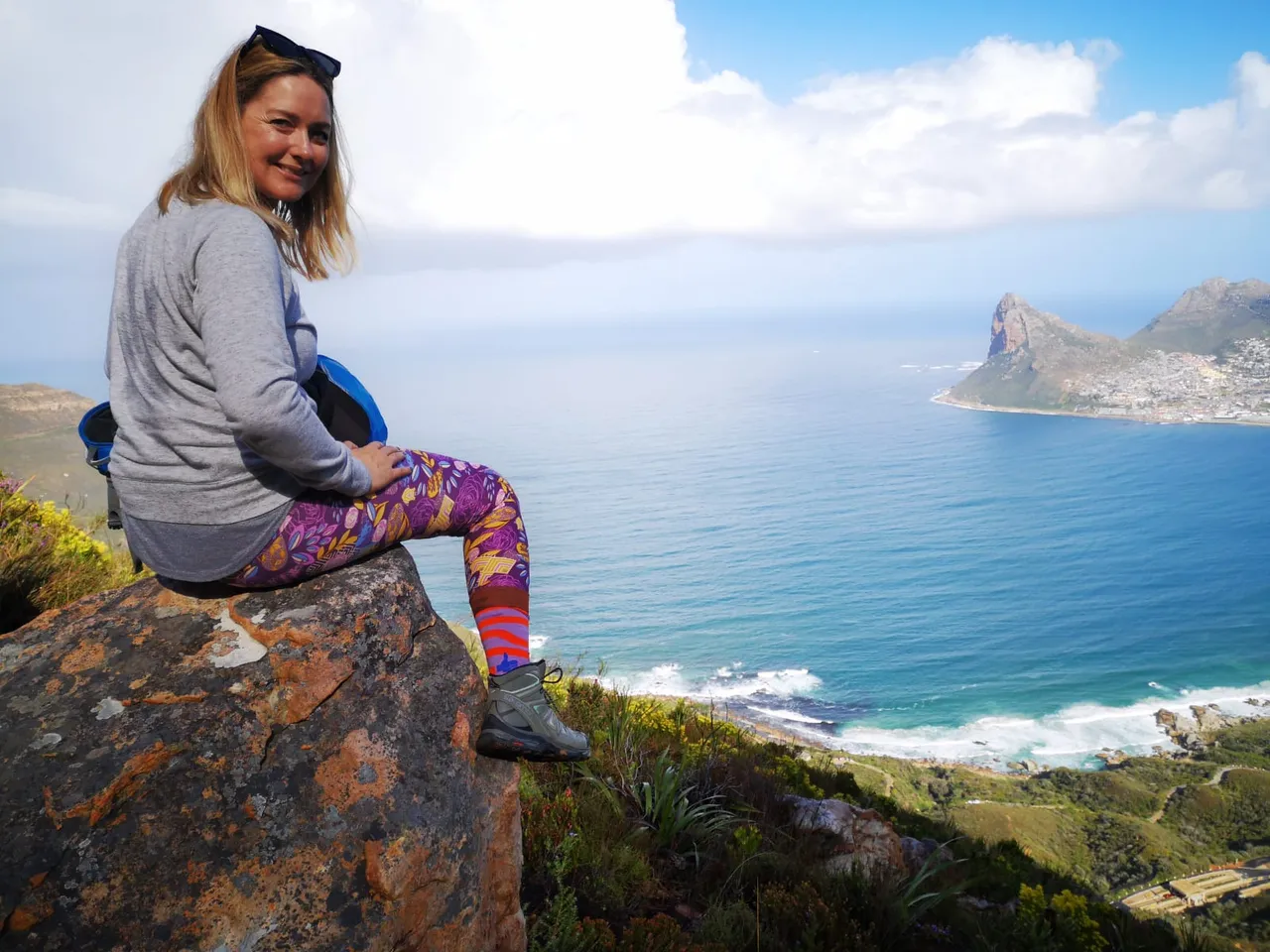
Well this was another one for the books! It’s a trail that I really enjoy because it has some trickier sections followed by an easy contour walk. But the most amazing part is the views of the bay below.
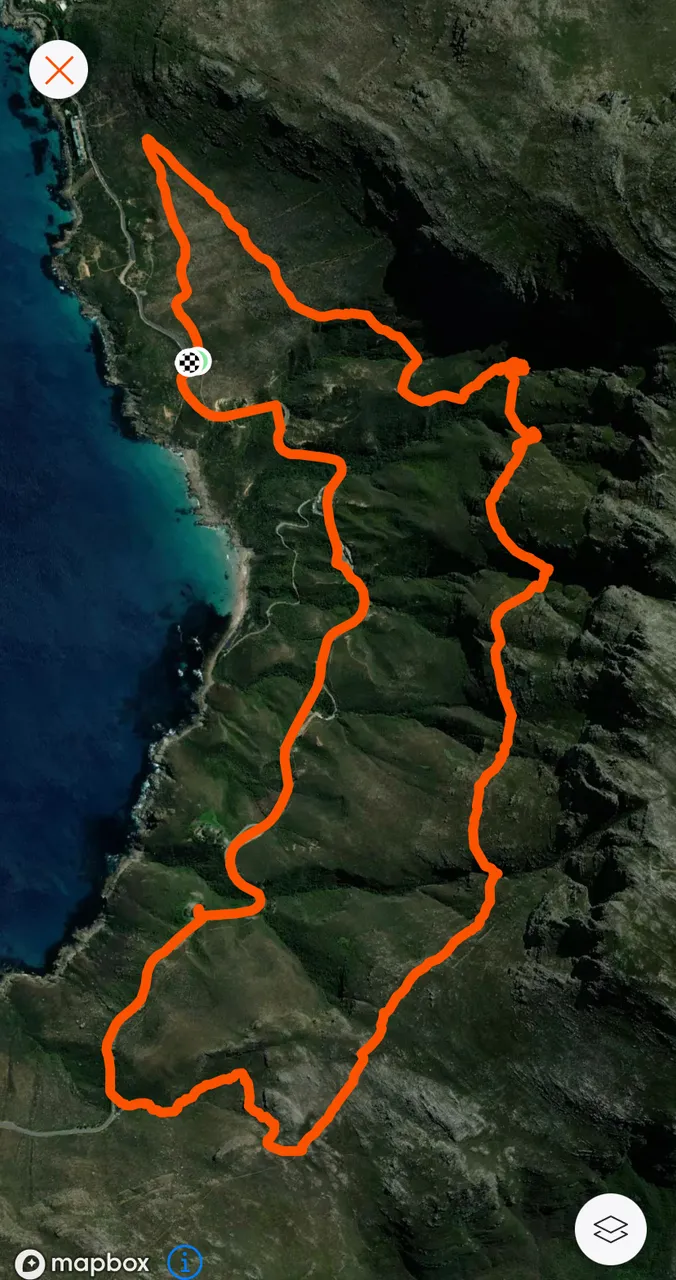
The Chapmans Peak Contour hike in Hout Bay, South Africa starts at a heritage site called the East Fort which is an old ruin found along Chapmans Peak Scenic Drive. The drive itself is one of the most scenic drives in the world and this hike follows a contour high above along the mountain side. The path then cuts down to the road from the saddle after 7 kilometres of hiking and the return follows the road back to the start to complete the circle.
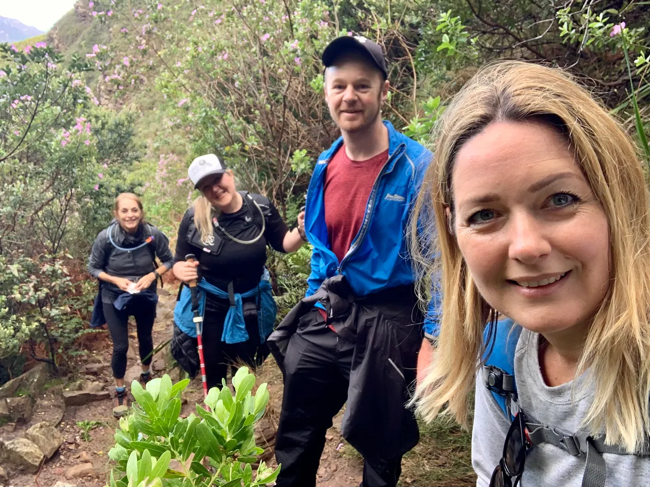
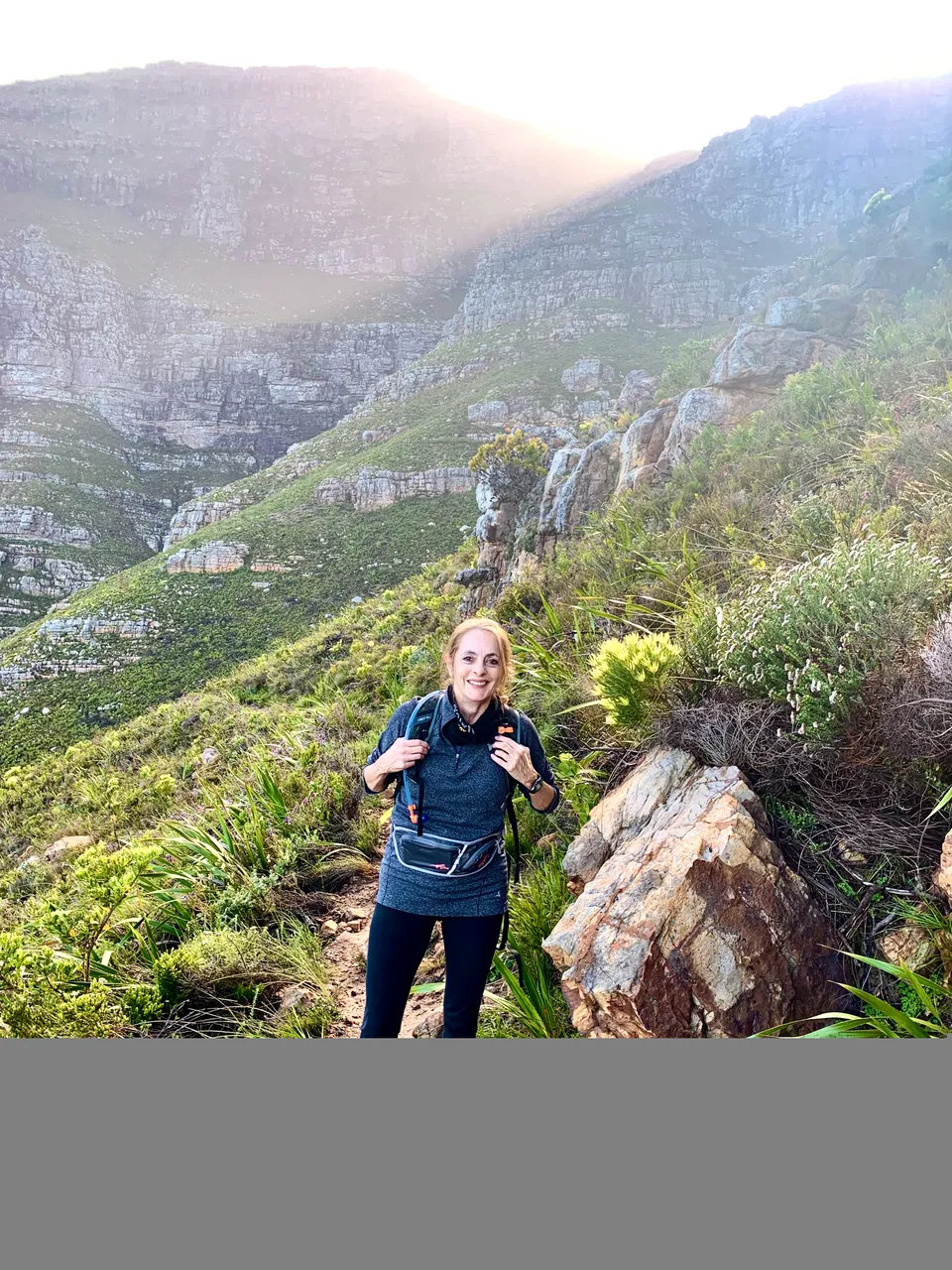
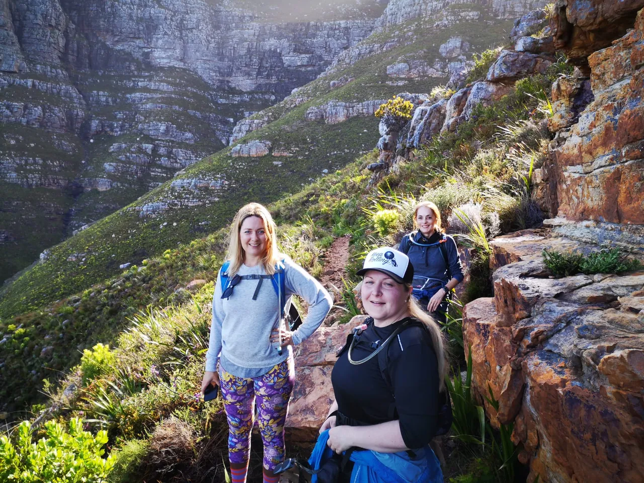
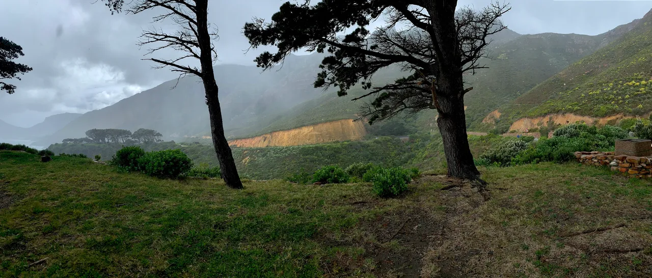
On Saturday morning I drove to the start in rain! I was meeting my sister, Jade, my aunt and Jade’s friend Michael that often joins us on hikes. But as I approached the mountain from the south the downpour began. Our last hike had been a washout. As we hiked in rain for the entire 2 hours and I wasn’t too keen to have a replay. This route also has more loose rock and not as well suited to bad weather. So we headed for a coffee to wait out the rain before starting.
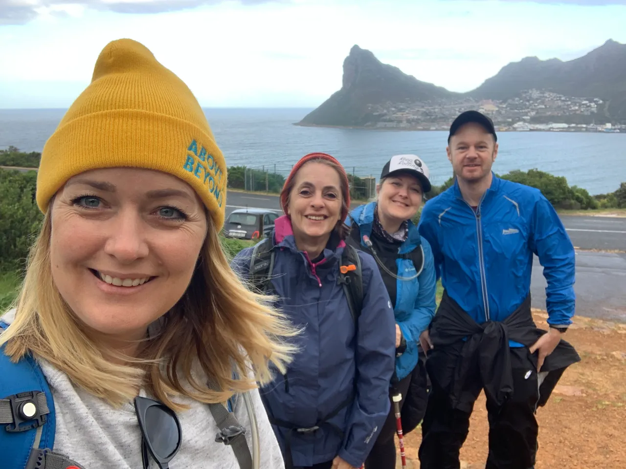
Thirty minutes later the dark clouds had passed over and only the lighter higher clouds remained as we parked our cars on Chapmans Peak Drive near East Fort. Let the hiking begin!
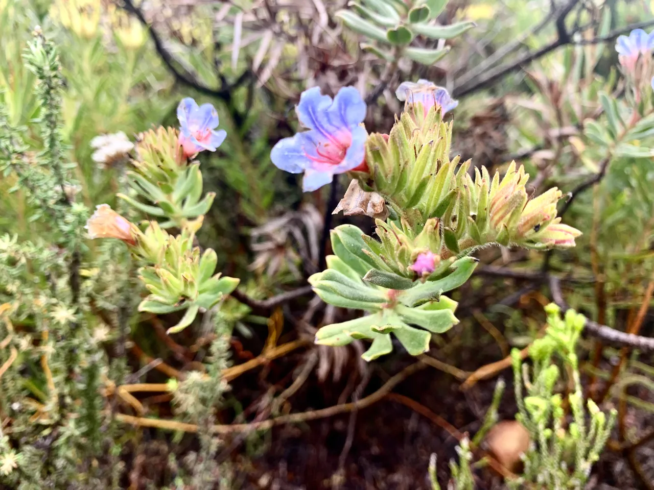
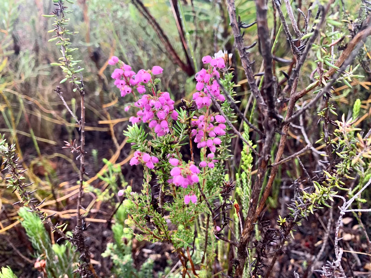
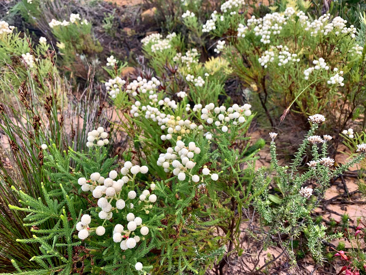
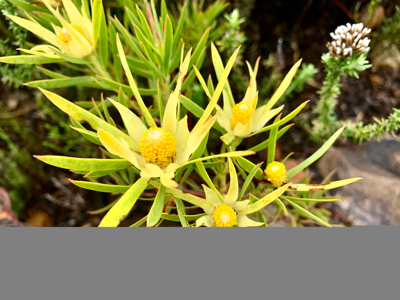
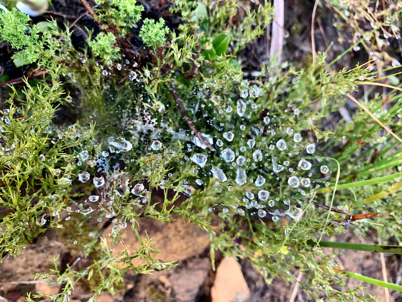
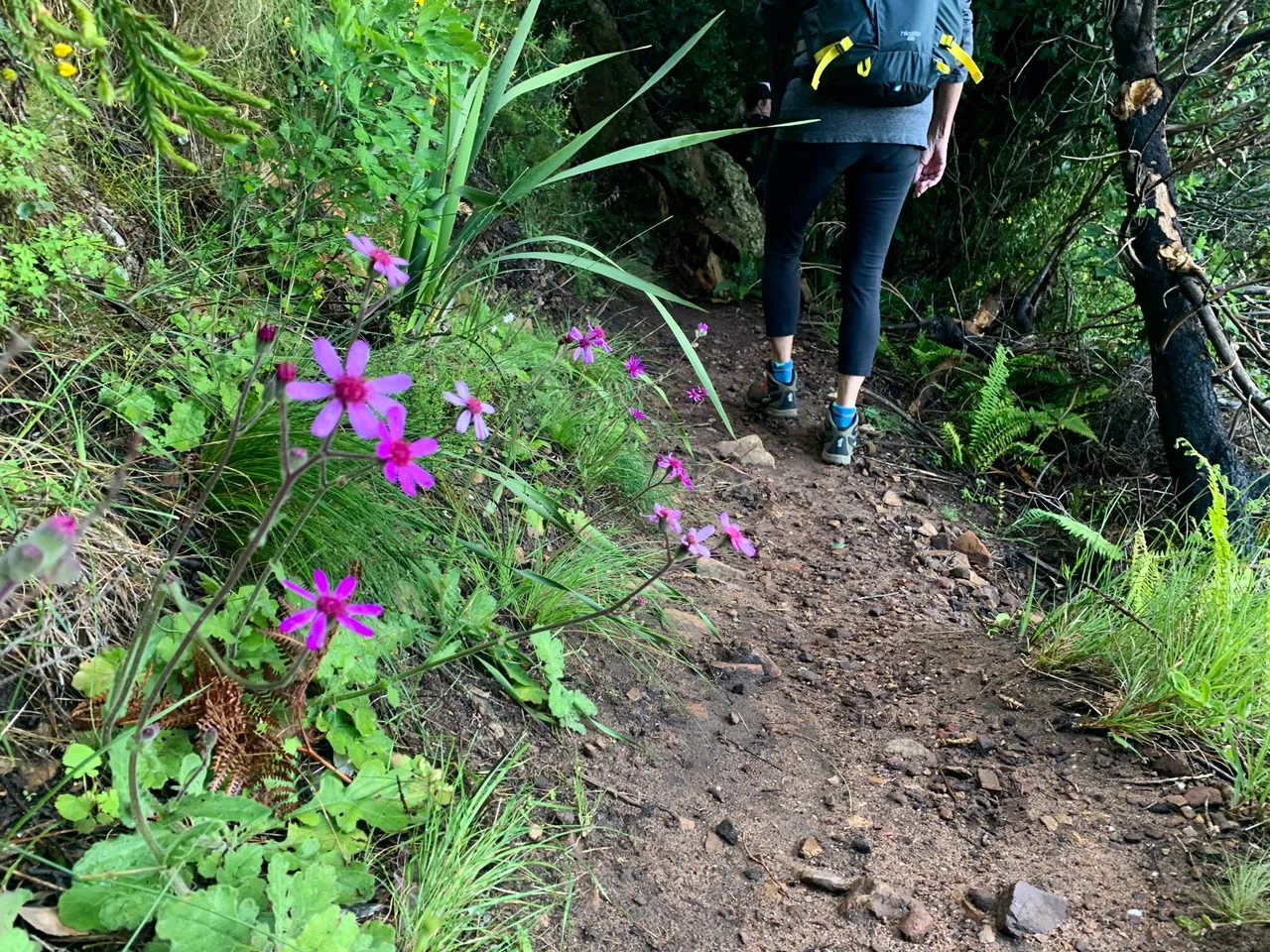
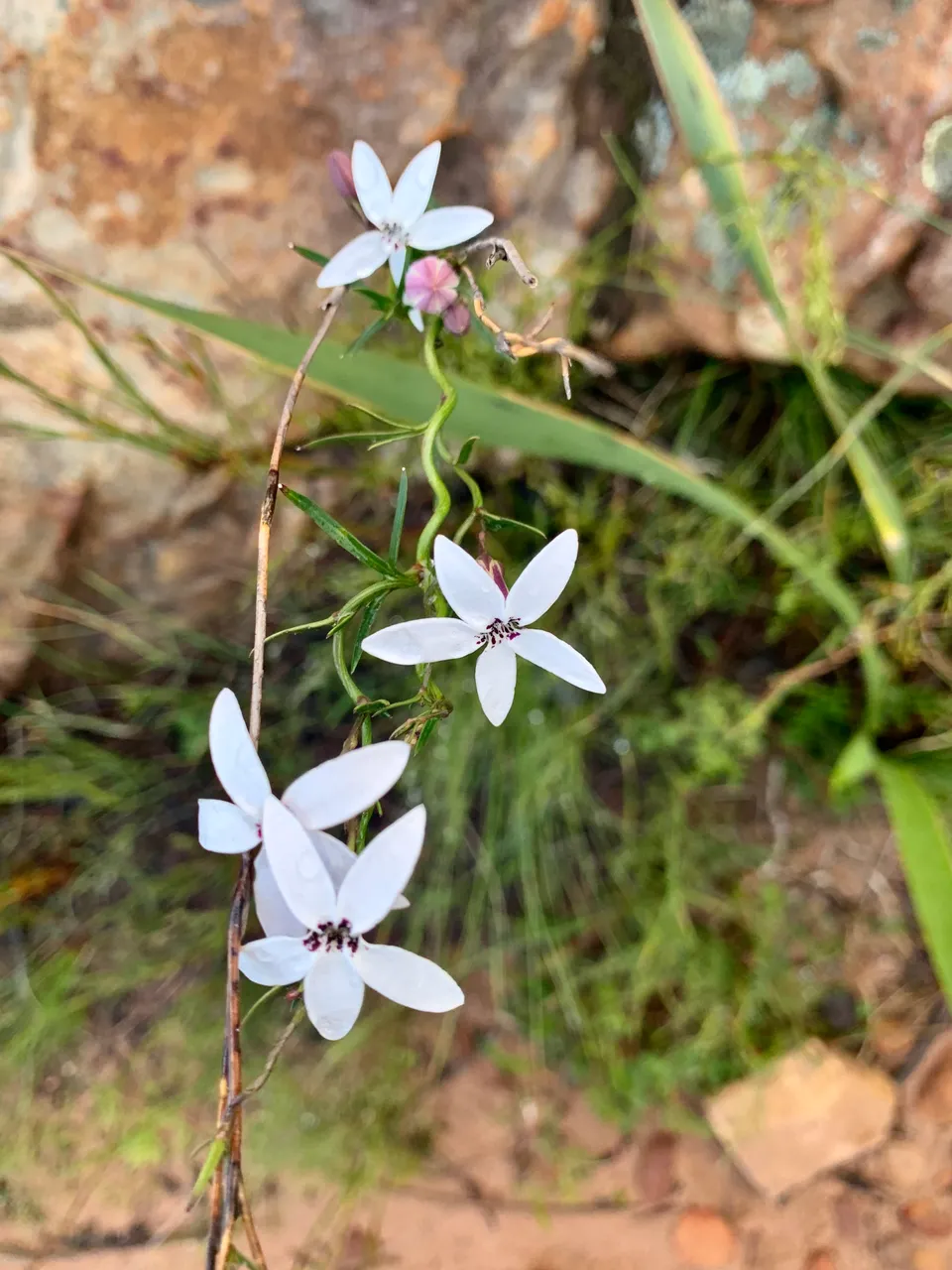
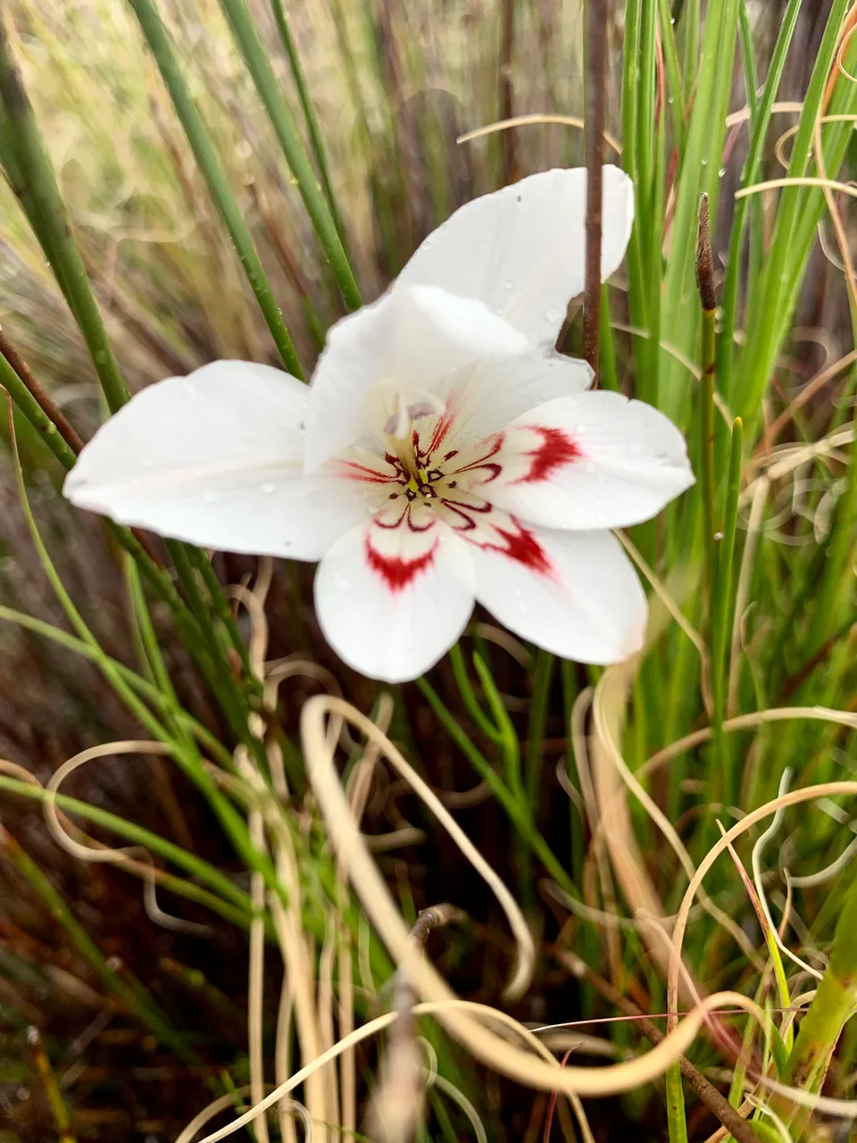
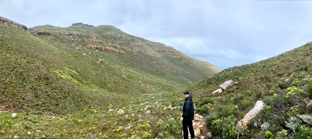
The first zigzag section cuts across to the left and then back to the right as it makes its way up the lower slopes towards Blackburn Ravine. The Spring flowers were blooming beautiful and I was so happy to do this hike at this time of year.
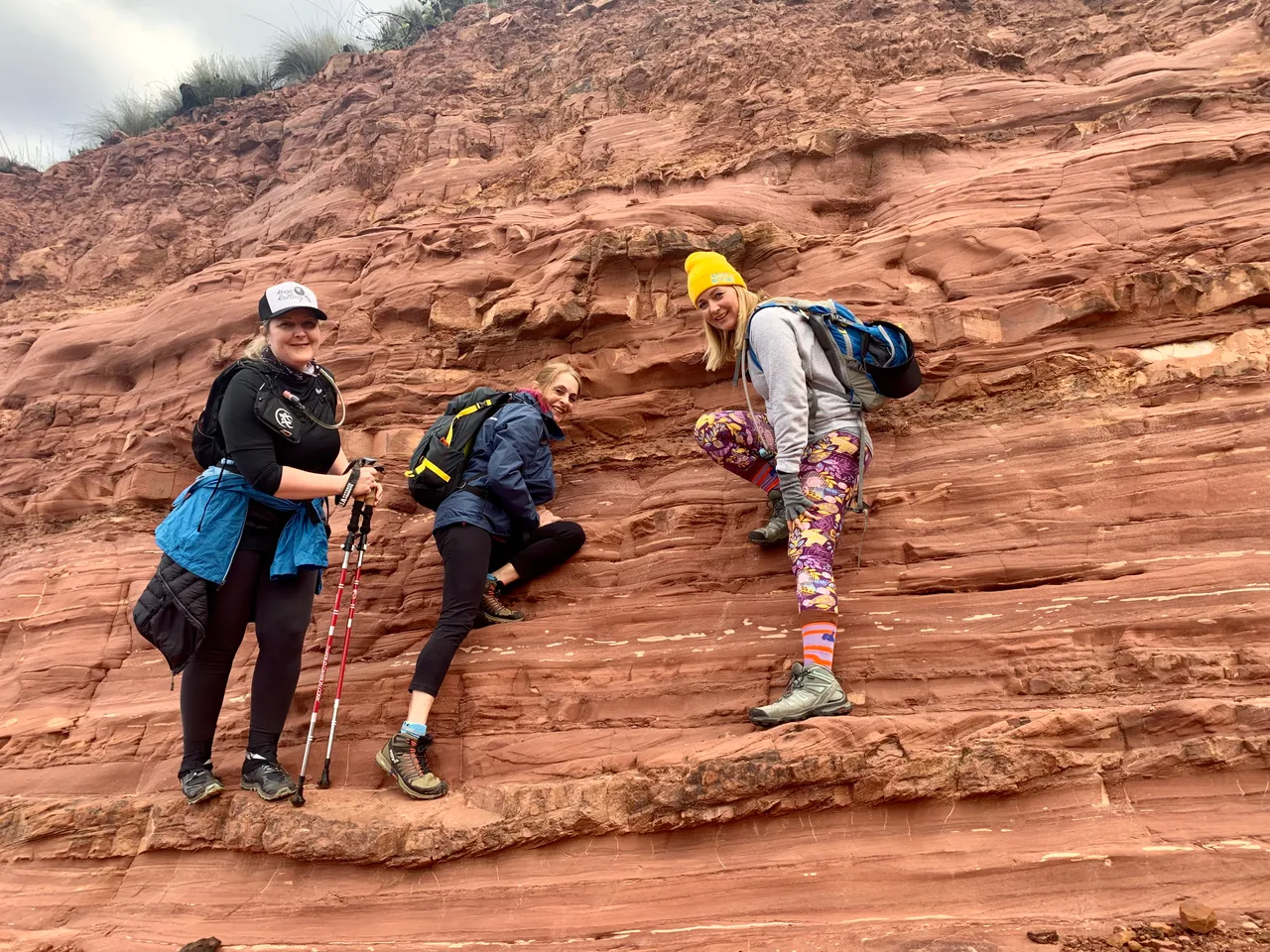
And there were even more beautiful flowers later on. On the first steeper climb we found a cool clay wall and decided to have a go climbing about 2 feet up 😂. After our little detour we got back in track as weren’t even a quarter of the way along the hike yet.

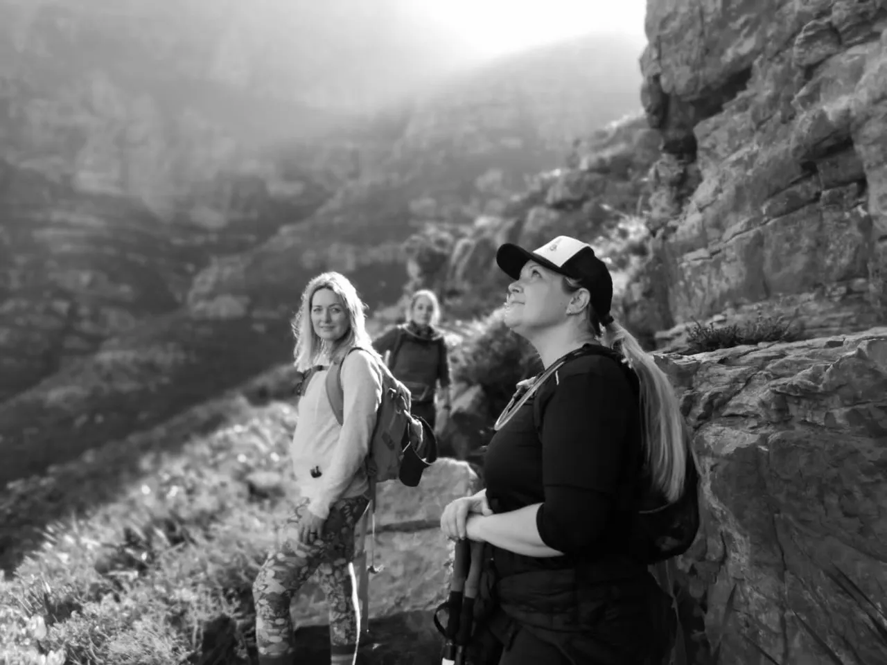
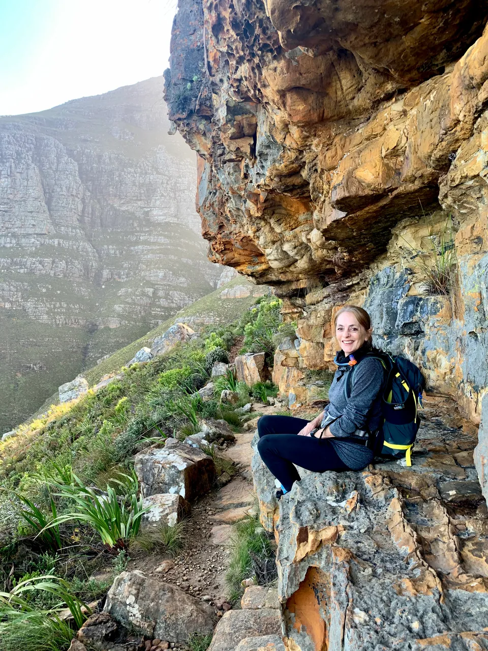
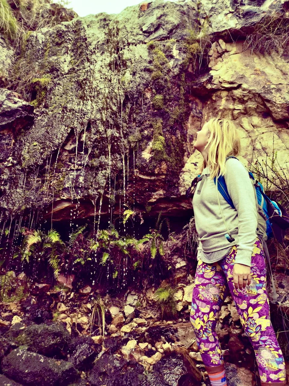
As we approached Blackburn Ravine the path cut steeply up rocky steps and we soon crossed our first stream. There were 5 streams in total along the mountain side, some bigger than others.
There is an option to continue up Blackburn Ravine to the upper lookout in the saddle above but today was not the day for that climb as the weather was unpredictable.
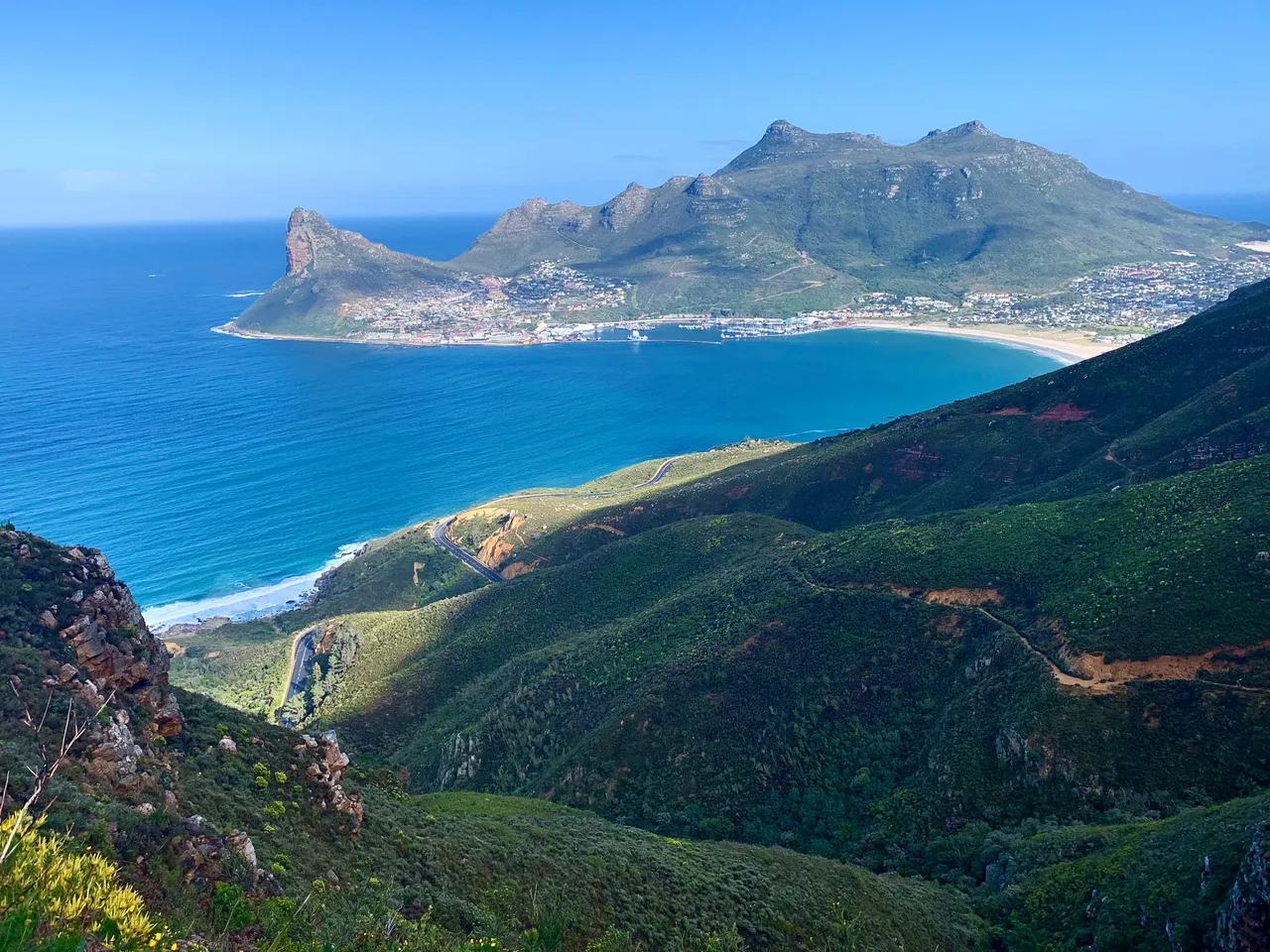
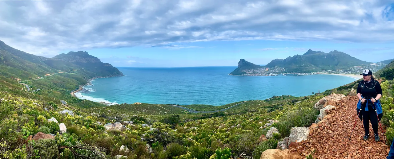
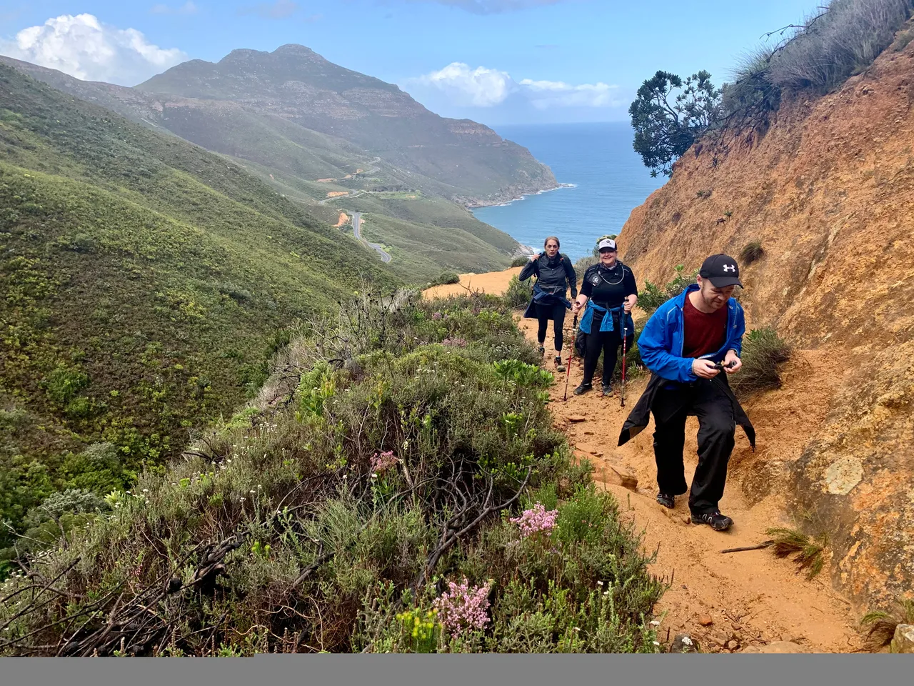
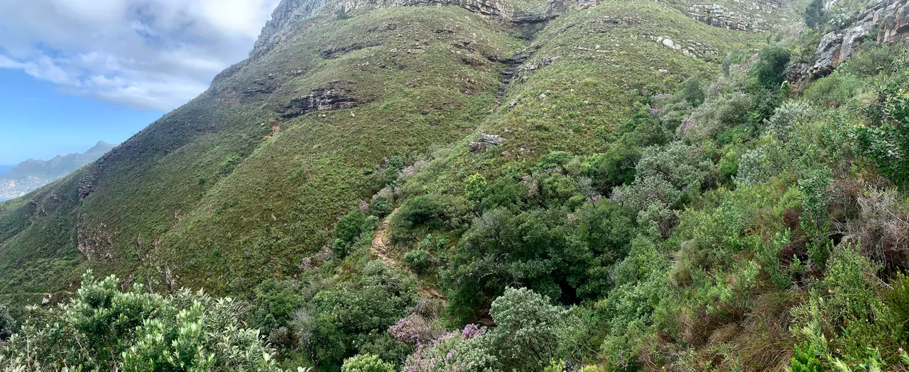
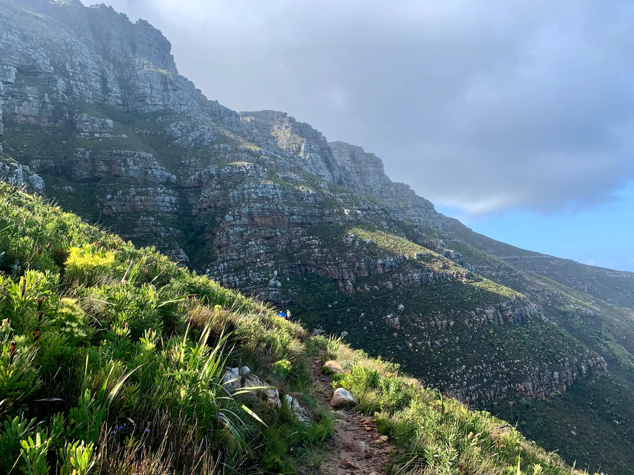
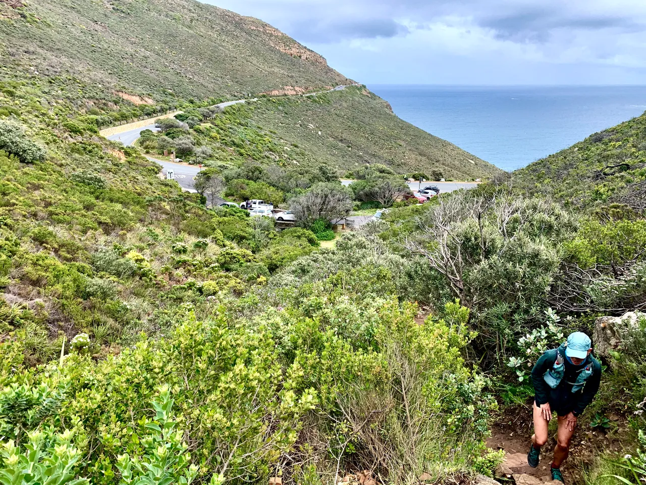
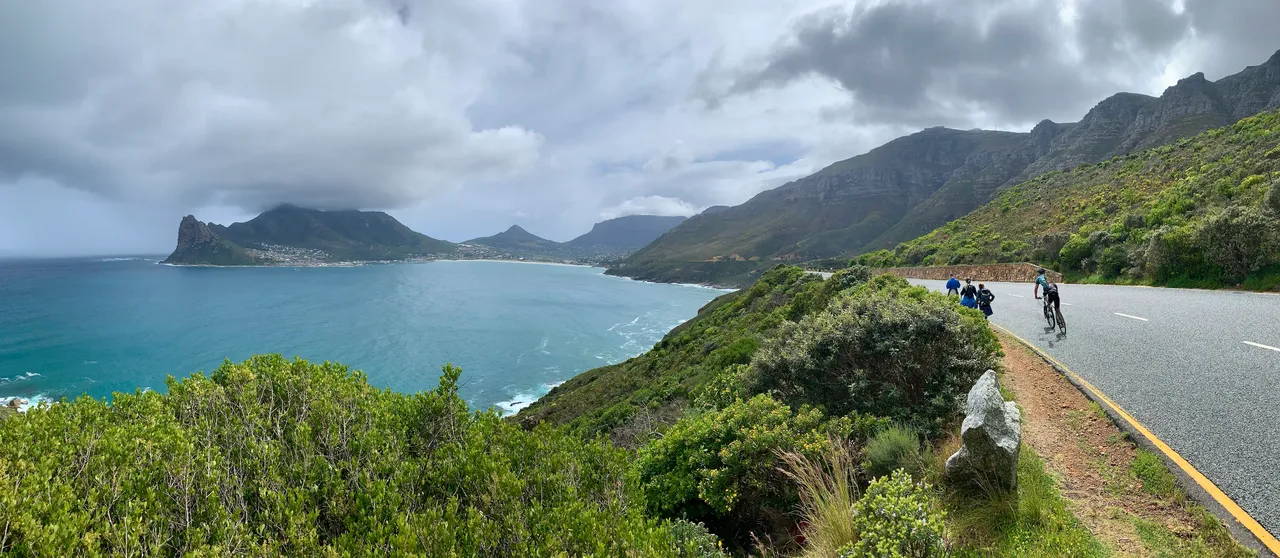
See our path cut into the mountain on the right with the road far down on the left.
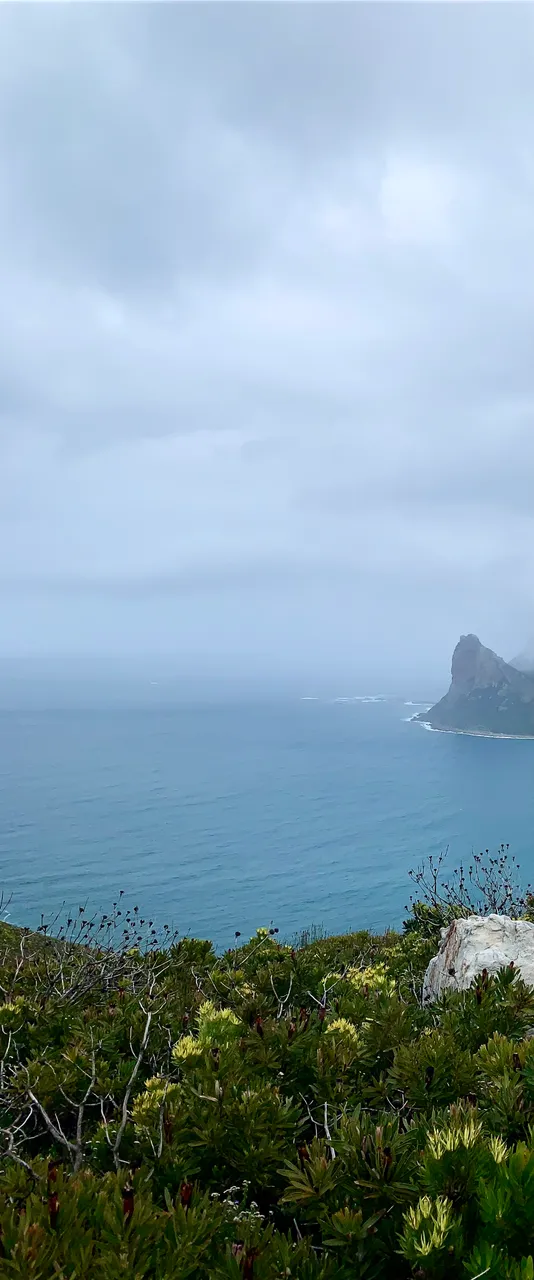
The views of the bay were beautiful and eerie with the mountain still in cloud and the sun managing to rise over the top of the mountain and bath is in the first rays of the day.
We crossed another two stream streams before stopping for a quick snack break. The next section was going to have 1 more small climb before it completely levelled out.
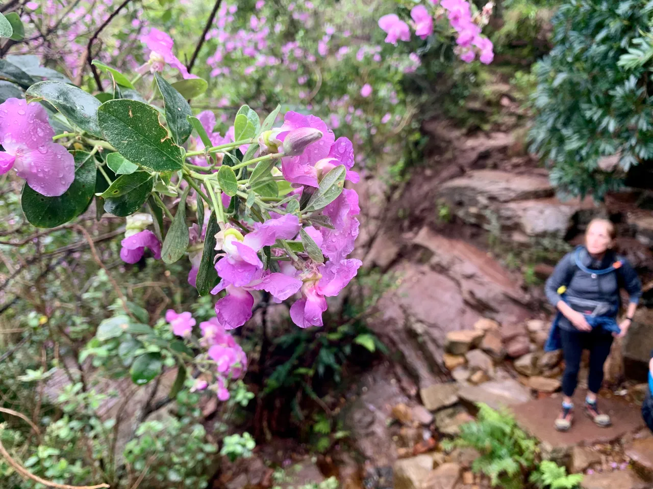
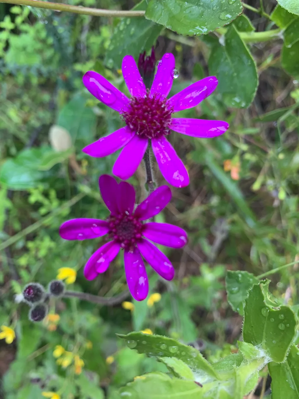
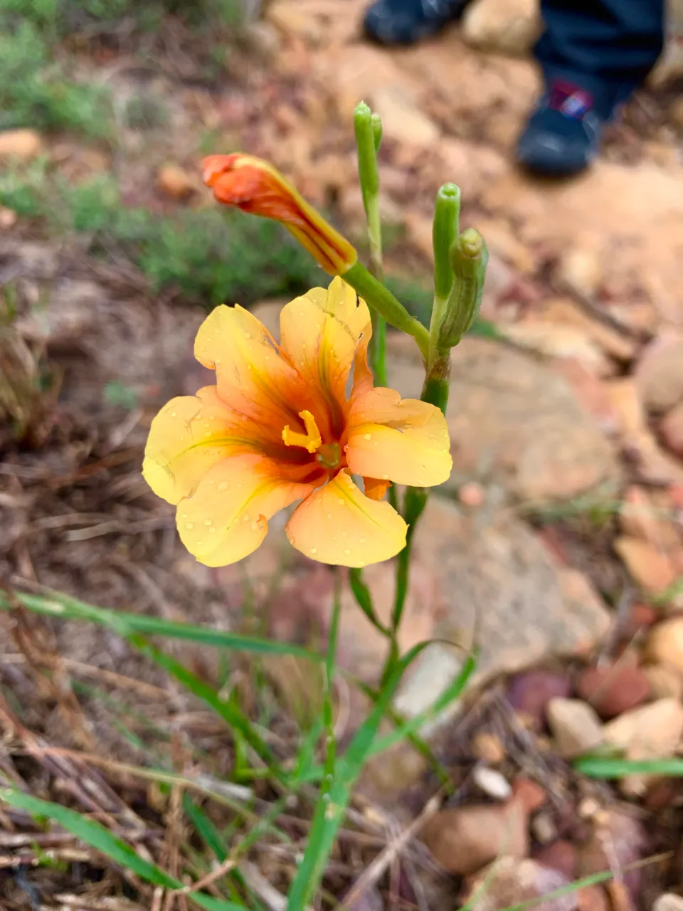
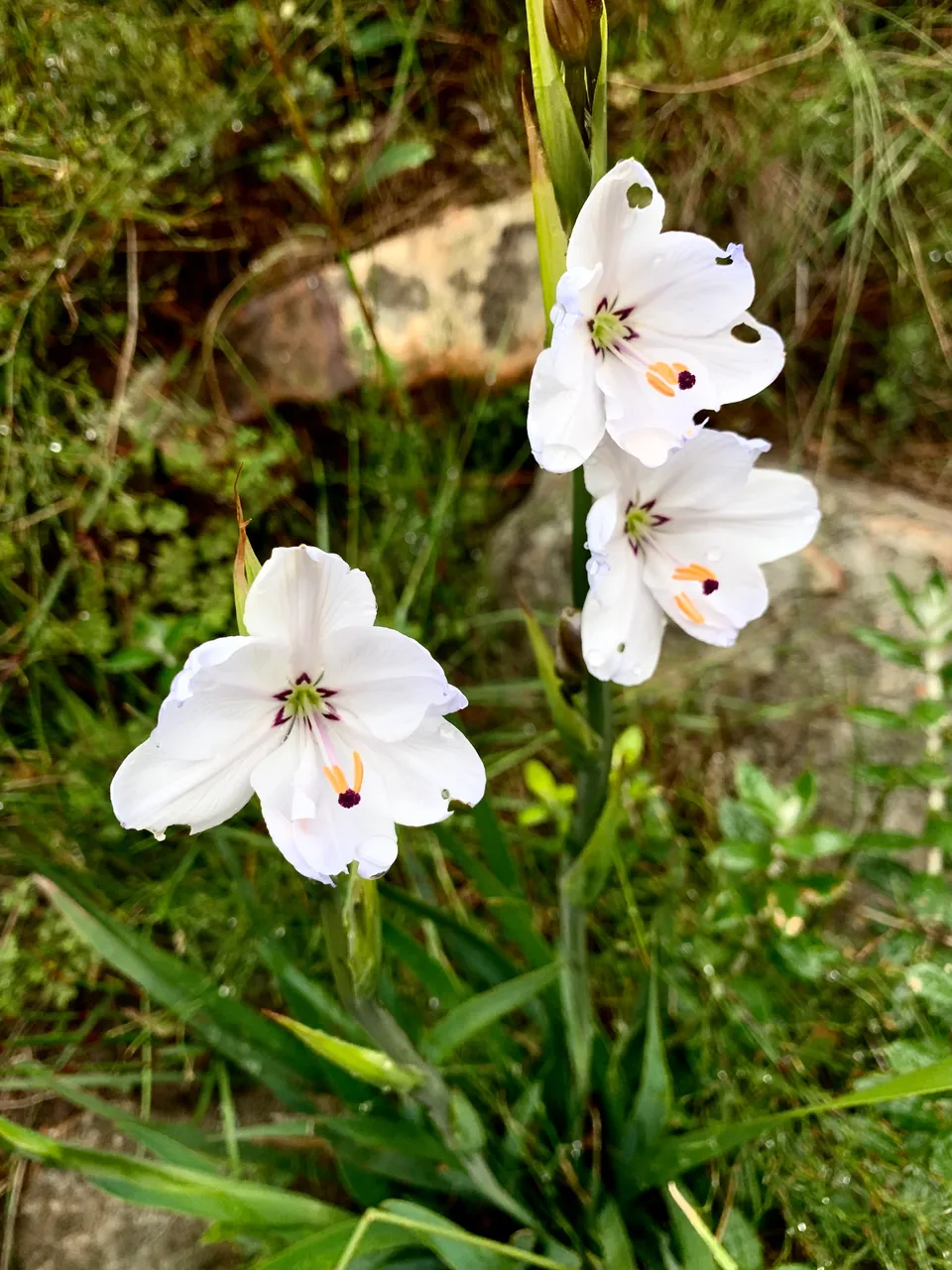
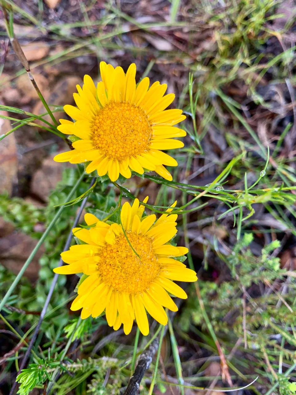
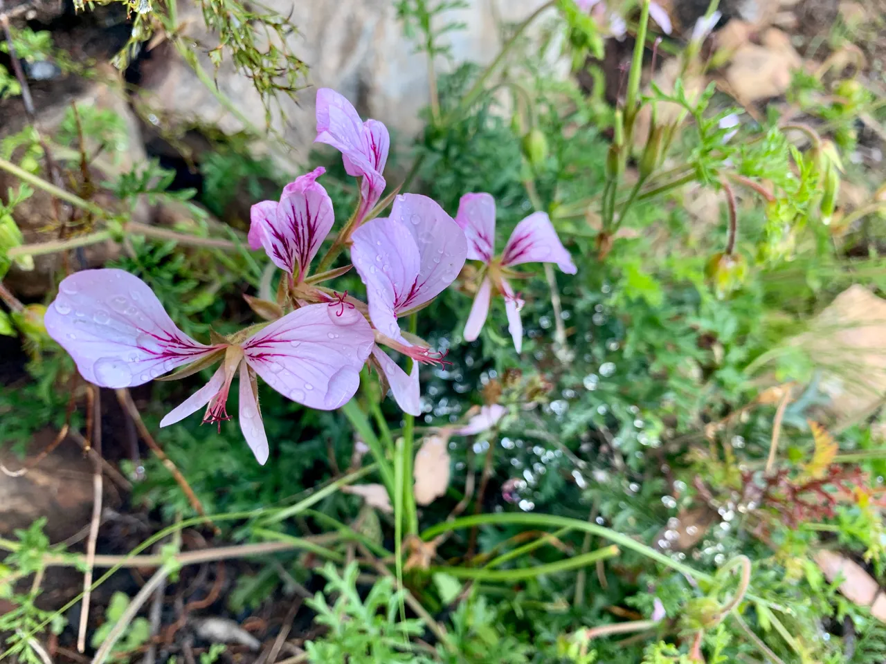
The beauty doesn’t stop on this hike as the more unusual flowers were still to come. And the colours didn’t disappoint. We saw the interesting purple angular daisy type flowers, followed by the white flower with hikes punched at the tip of each petal, the orange Gladiolus and the white oumakappie later in our adventure.
The further we go the worse the weather turned with the morning rains returning. Three young girls passed us and asked if they were on the correct route to Chapmans Peak. We gave them some directions and noted their lack of decent clothes for the changing weather. These young people only learn when they experience their own mistakes unfortunately.
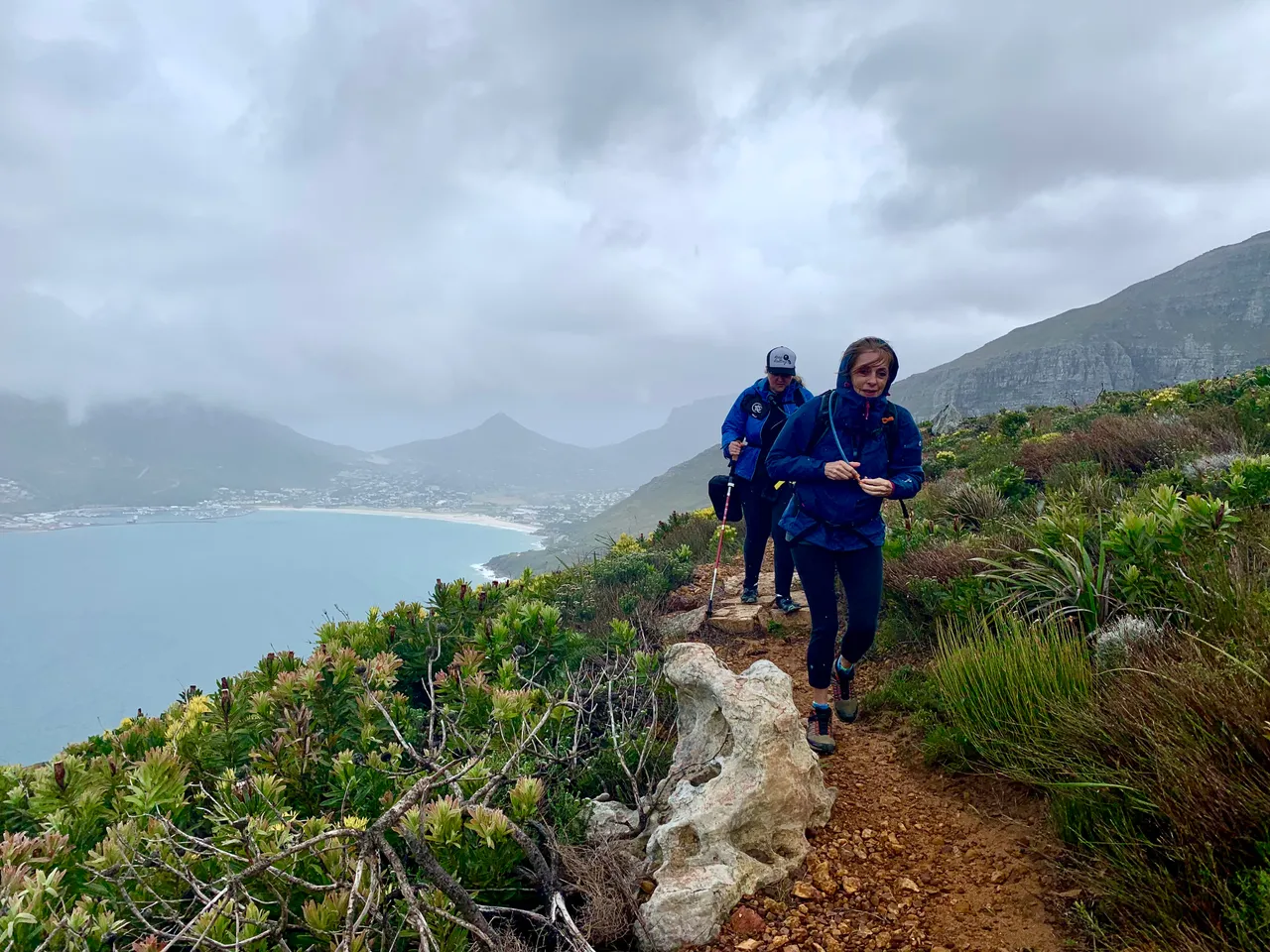
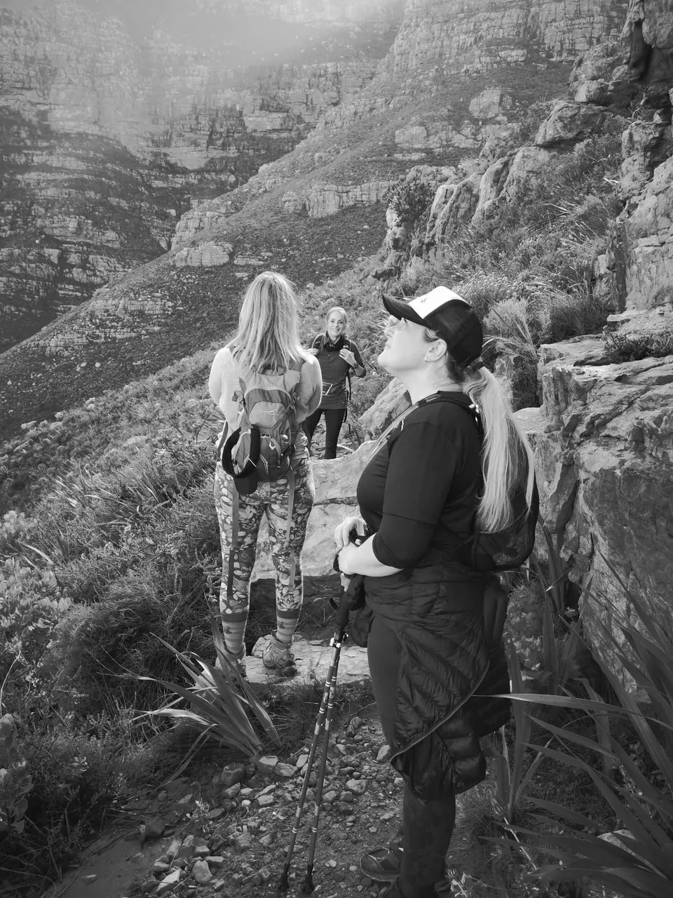
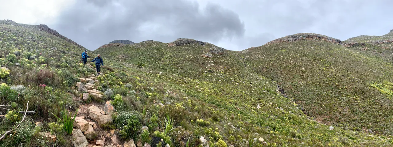
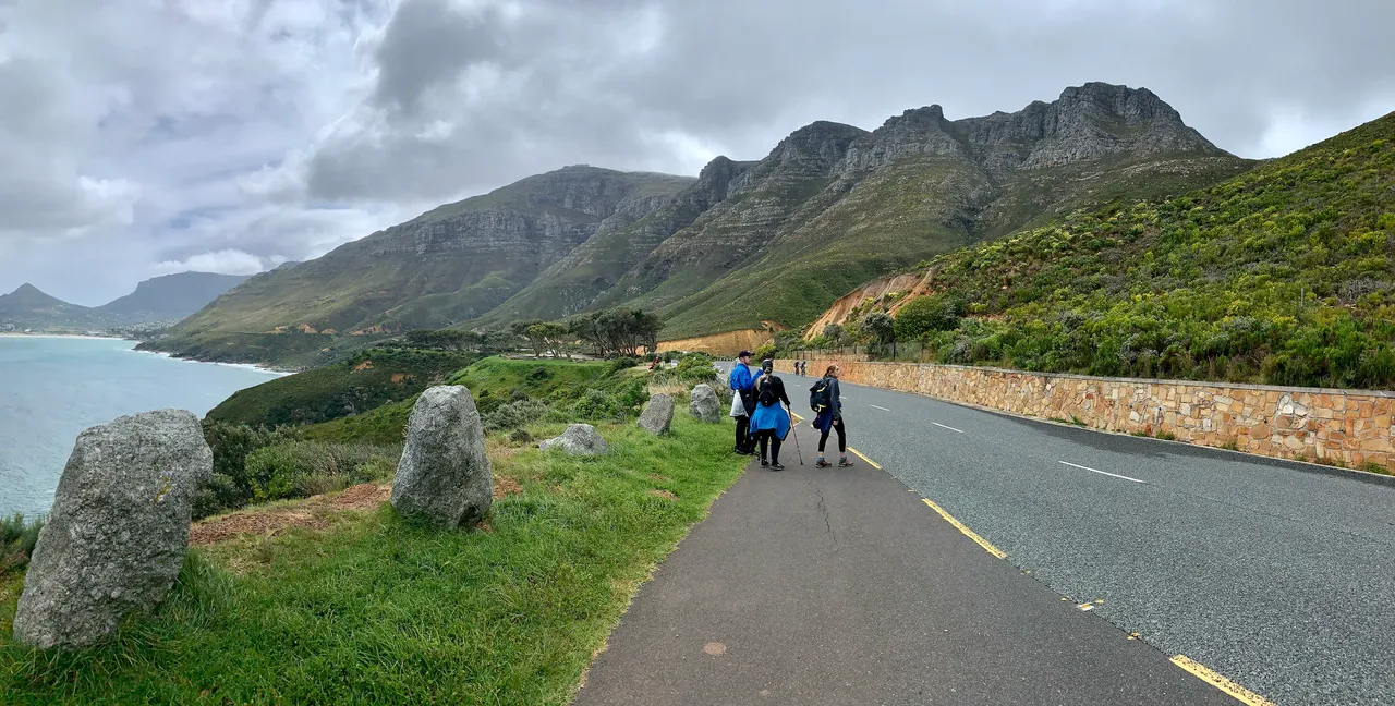
We felt a bit of drizzle and quickly got our rain jackets on as we started our descend from the cross roads of the Contour, Noordhoek Peak and Chapmans Peak which we will leave for another day.
The walk down was a path made of individual rocks that have been placed as steps but it requires absolutely concentration. Some rocks are the tiniest bit loose and you can lose your footing and balance quickly especially with the drizzle and wind adding more hazards to the environment.
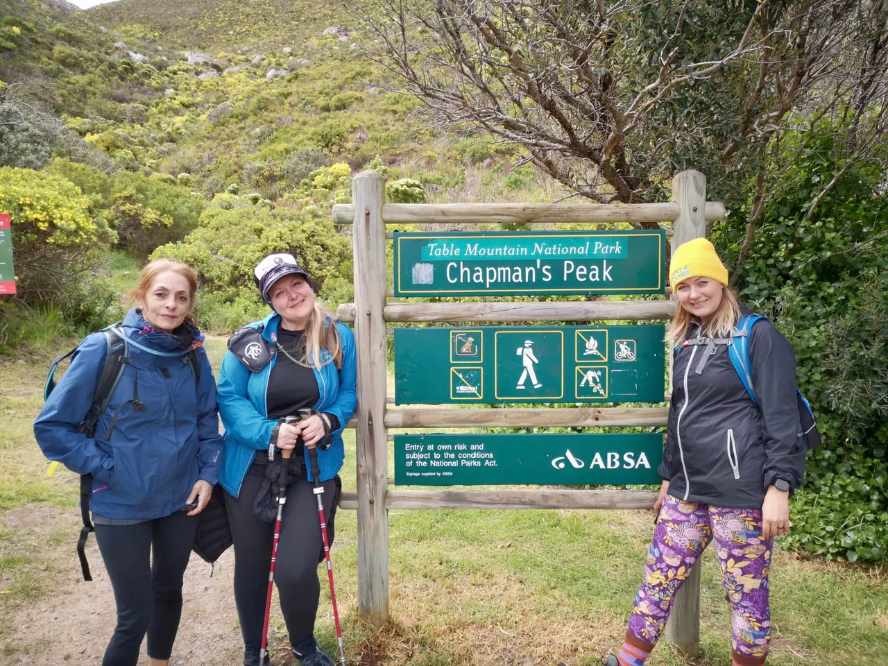
Finally back at the road we celebrated at the Chappies sign and we’re happy to be on a flat surface. We had now completed just over 7 kilometres and we had another 3 or so to walk down Chapmans Peak Drive towards our cars.
This drive will be closed next Sunday as the annual Cape Town Cycle tour takes place. The route actually cuts our little hometown village of Kommetjie off from the rest of the world for the day as well. So we will spend the day cheering on the crazy cyclists taking on the 100 kilometre route. You won’t catch me on a bicycle if I can help it!
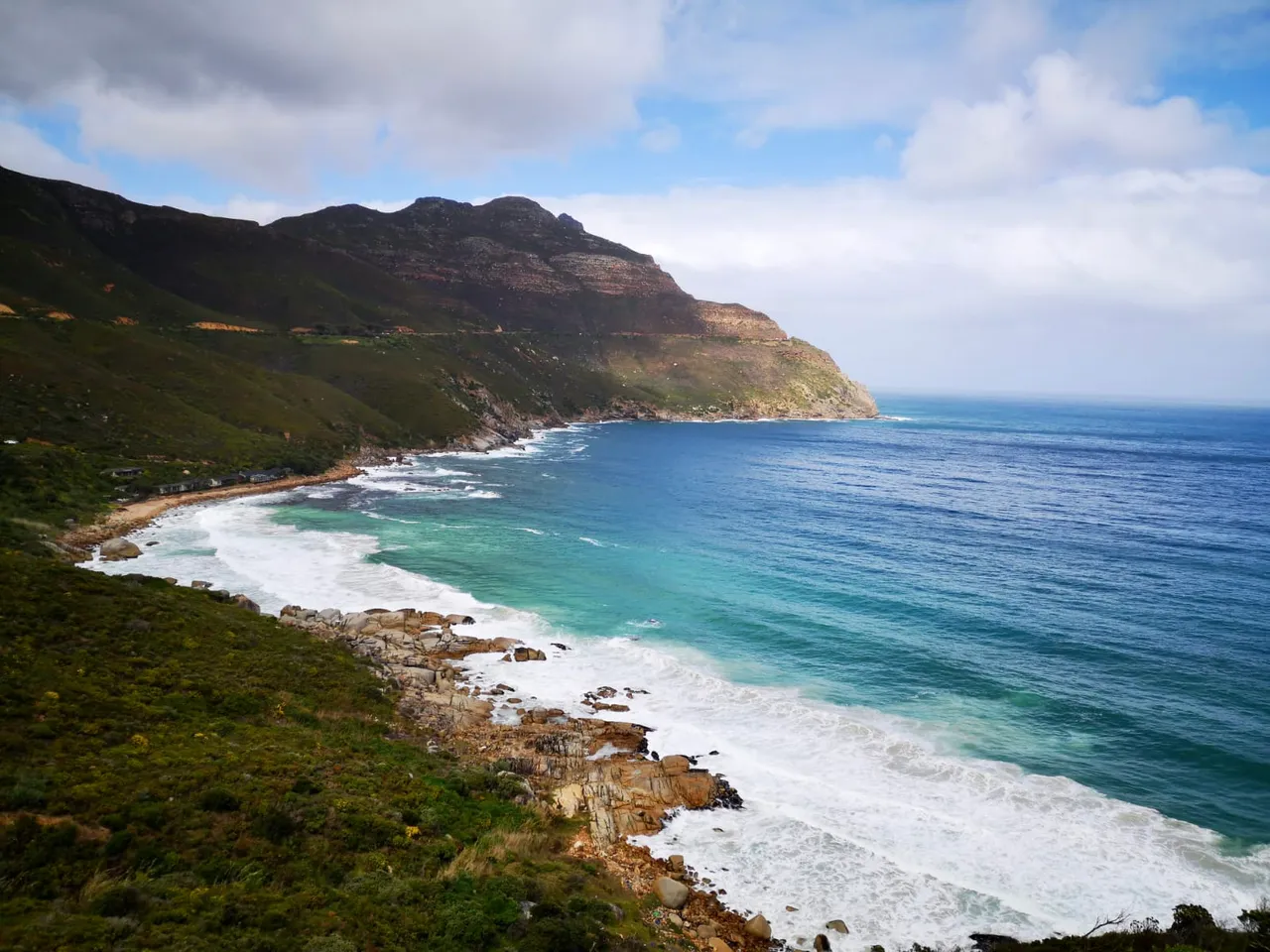
You can see why they call it the scenic route because the views are beautiful from any angle. As we walked the next heavier downpour began and we took cover in a restroom at a picnic spot. We only waited about 3 minutes before continuing towards our cars.
We got there quickly and made a fast exit home for a cup of tea.
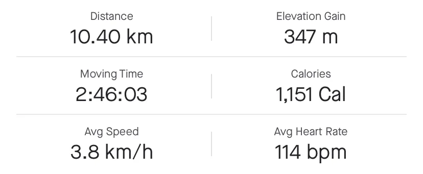
Chapmans Peak Contour Route and Stats
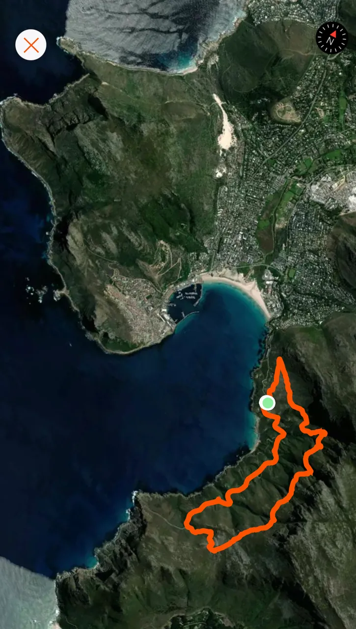
And here’s a zoom out map to show the geography of this part of the mountain range and coastline.
We’re busy packing for an overnight hike next week that is going to be spectacular and completely different to any of the others that I have done. So watch this space for more adventures.