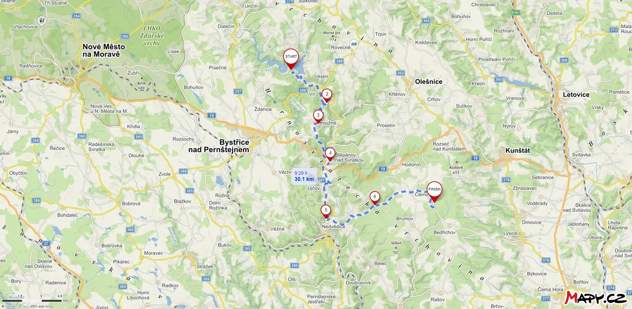
The next day of my journey towards the Moravian Karst, I got up at sunrise because I didn't want a forest worker to catch me in the place where I spent the night. Thanks to that, I saw a female deer right after waking up. I quickly packed up and set off for the first goal of the day. Which was the Vír dam. I had absolutely no idea that this dam was the first of the large dams built in Czechoslovakia.
Druhý den mojí cesty směrem k Moravskému krasu jsem vstal s východem slunce, protože jsem nechtěl aby mě v místě kde jsem přenocoval chytil nějaký lesní dělník. Díky tomu jsem hned po probuzení viděl samici od jelena. Rychle jsem se zabalil a vyrazil k prvnímu cíli dne. Což byla přehrada Vír. Absolutně jsem neměl tušení, že tato hráz byla první z velkých přehrad, které byly v Československu postaveny.
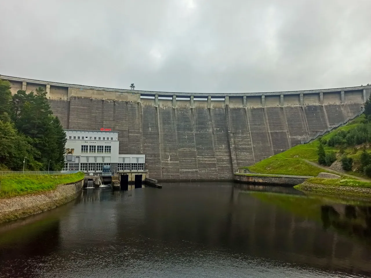
Below the dam is a small town with the same name as the dam and is currently alive mainly from tourism. Thanks to the rocks above the town, sport climbers come here to climb and in winter there is also one of the few ice walls in the Czech Republic. The river below the dam, offers activities for anglers, where they can catch trout. Even for tourists there are several interesting places to see. Such as wooden cottages.
Pod hrází se nachází městečko se stejným názvem jako nese hráz a v současné době je živo především z turistického ruchu. Díky skalám nad městem sem jezdí lézt sportovní horolezci a v zimě je zde i jedna z mála ledových stěn v České republice. Řeka pod přehradou zase nabízí vyžití sportovním rybářům, kde mohou chytat pstruhy. I pro turisty je zde několik zajímavých míst k vidění. Jako například dřevené chalupy.
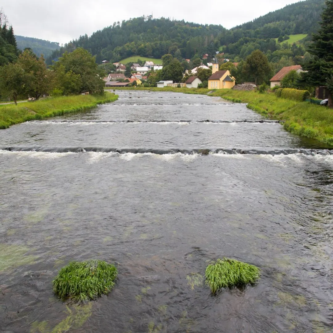
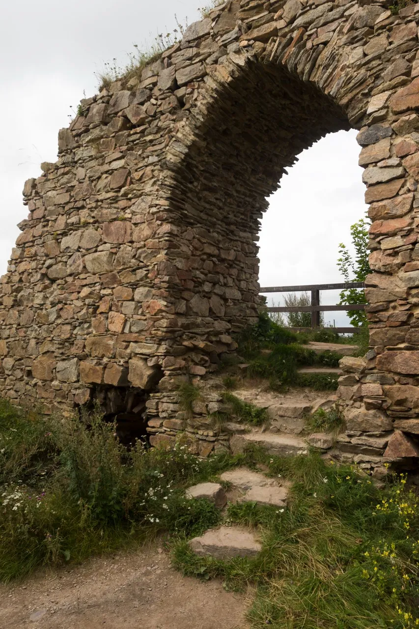
Not far above the town lies the ruins of the Pyšolec castle, where an archaeological survey is currently underway. Too bad you can't see the river below the castle thanks to the mature trees. Nature lovers will enjoy themselves.
Nedaleko nad městečkem leží zřícenina hradu Pyšolec, kde momentálně probíhá archeologický průzkum. Škoda že není vidět na řeku pod hradem díky vzrostlým stromům. Na své si tedy přijdou milovníci přírody.
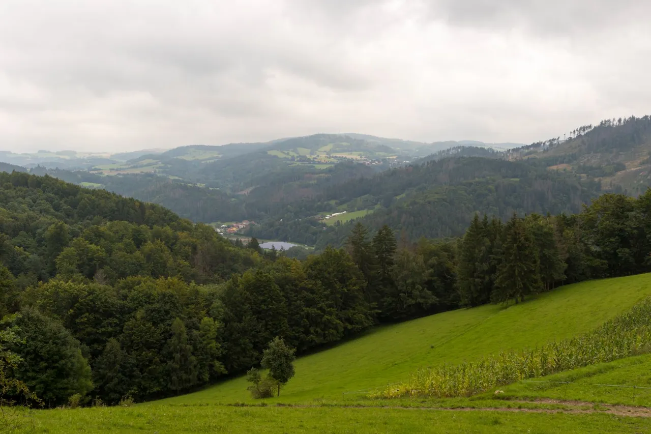
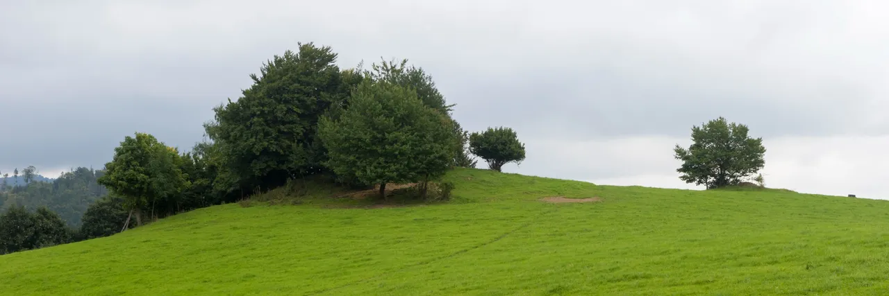
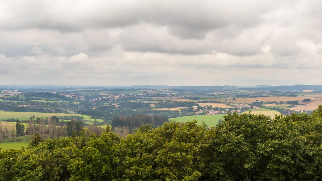
From Pyšolec to the village of Kobylnice it is another 100 meters of elevation gain. But this effort is definitely worth it. Because the view of the landscape opened up to me and I was able to take some photos on the pastures occupied by cows.
Od Pyšolce k vesnici Kobylnice je to dalších 100 metrů převýšení. Ale tato námaha rozhodně stojí za to. Protože se mi otevřel výhled do krajiny a mohl jsem pořídit několik fotografií na pastvinách obsazených kravami.
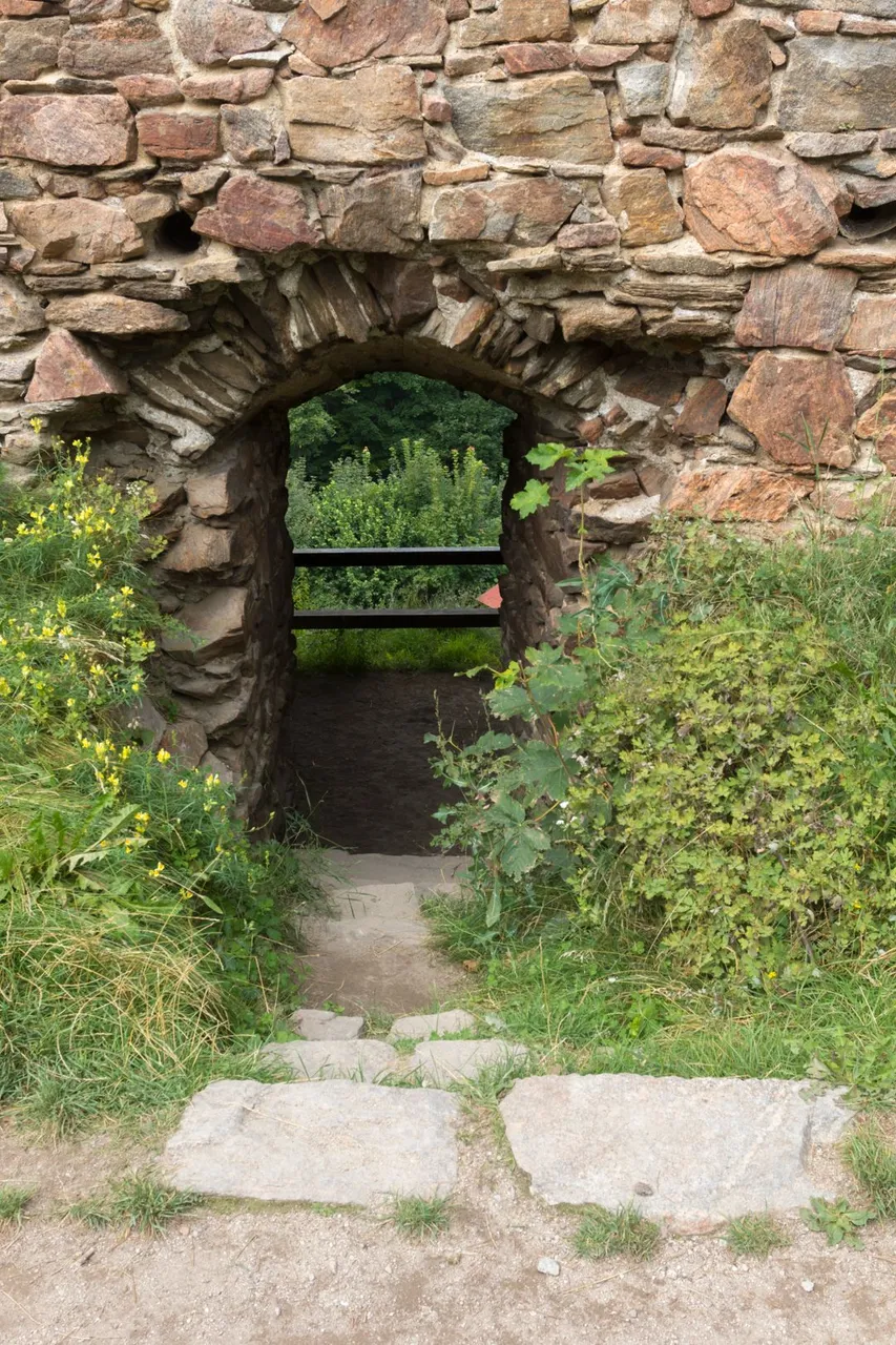
From Kobylnice, another 100 meters of altitude rises again until you reach another ruin of Zubštejn Castle. From where there is a beautiful view of the surrounding countryside. There is also a monument, which was erected here by the surrounding villages. Because the castle played an important role as a meeting place for local resistance during World War II.
Z Kobylnice se opět stoupá dalších 100 výškových metrů až se dorazí k další zřícenině hradu Zubštejn. Odkud je krásný výhled do okolní krajiny. Je zde i památník, který zde nechaly vztyčit okolní obce. Protože hrad hrál důležitou roli jako místo pro setkávání pro místní odboj za druhé světové války.
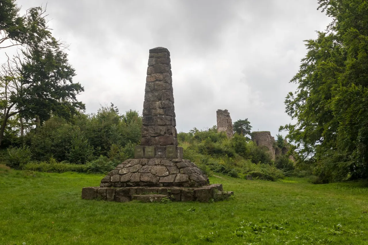
There are even 3 hiking trails leading to the castle. Which is not often seen.
K hradu vedou dokonce 3 turistické stezky. Což se moc často nevídá.
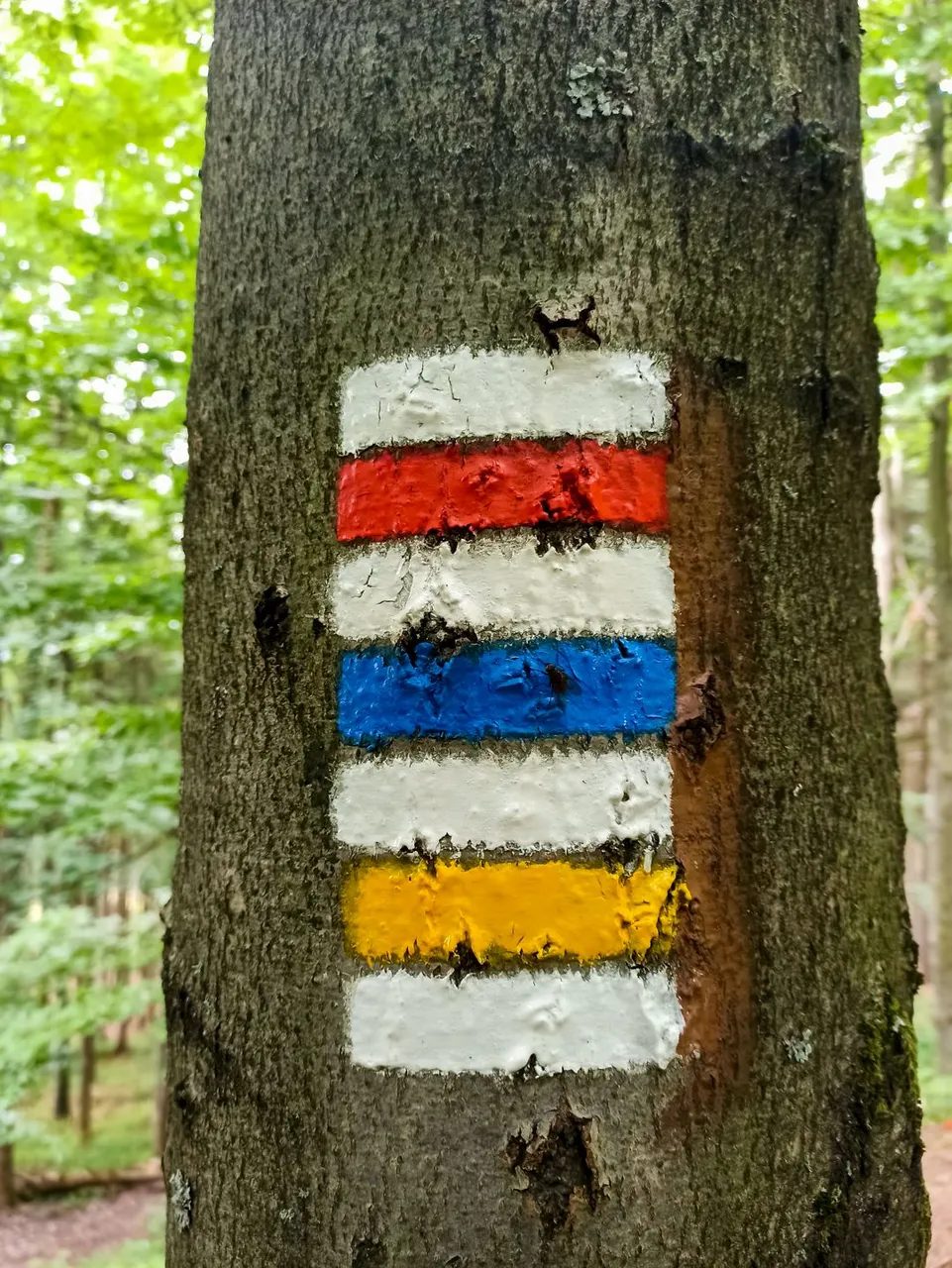
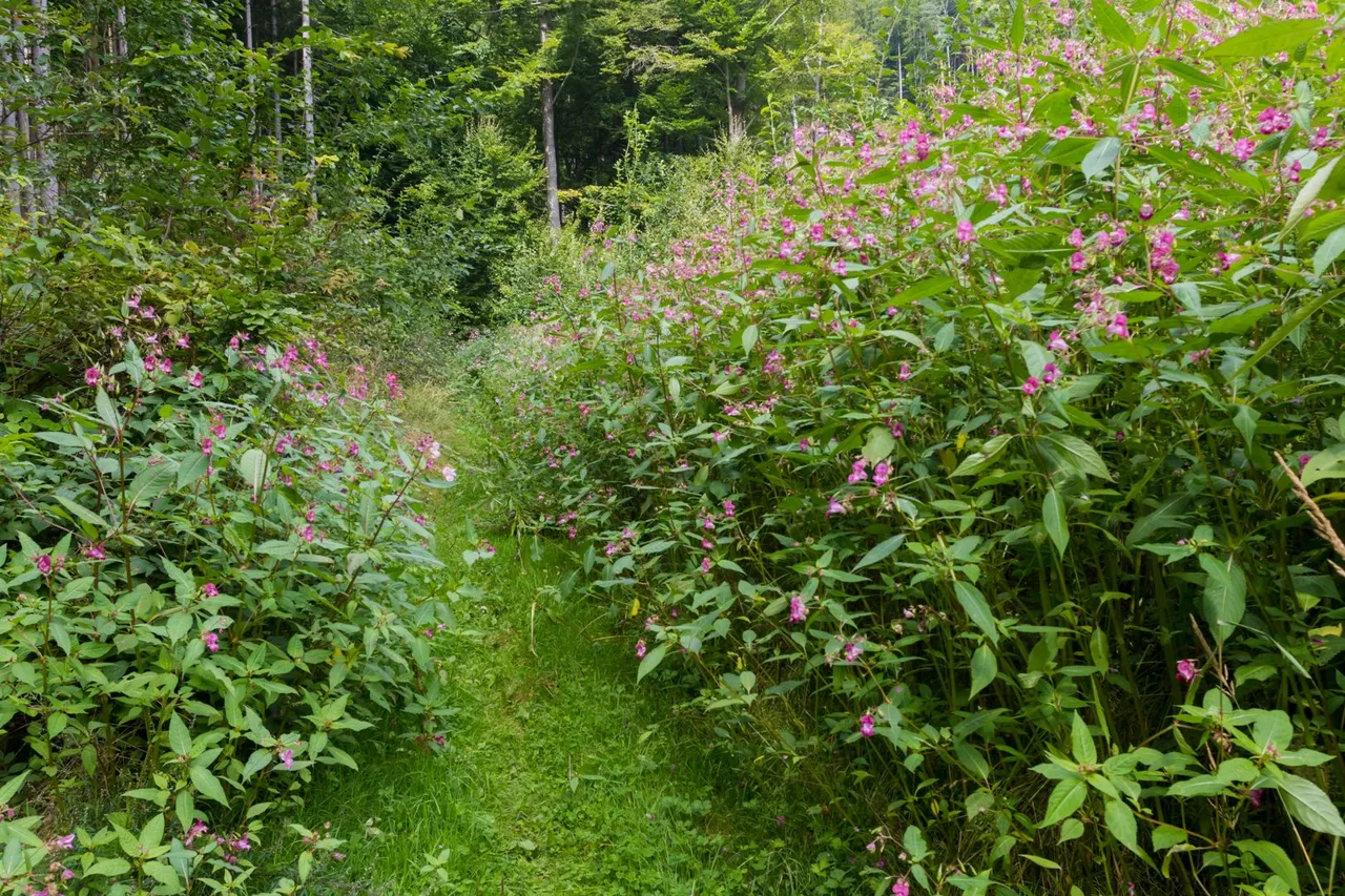
I continued on the red path, which is often the hardest of the three colors. First, a journey awaited me through the flowering areas where the forest used to stand.
Pokračoval jsem dále po červené stezce, která bývá často nejtěžší ze všech tří barev. Nejprve mě čekala cesta skrze rozkvetlé plochy kde dříve stával les.
And then overcome fallen trees.
A pak překonávat padlé stromy.

When I finally got back to civilization, the sun began to shine and heat began to build. When climbing to the top of the natural monument Nad koupalištěm, I sweated quite a bit and it was necessary to dry the sweaty clothes.
Když jsem se dostal konečně zpět do civilizace, začalo vysvítat slunce a začalo se dělat teplo. Při stoupání na vrchol přírodní památky Nad koupalištěm jsem se docela zapotil a bylo nutné usušit propocené oblečení.
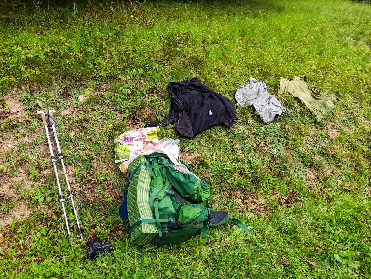
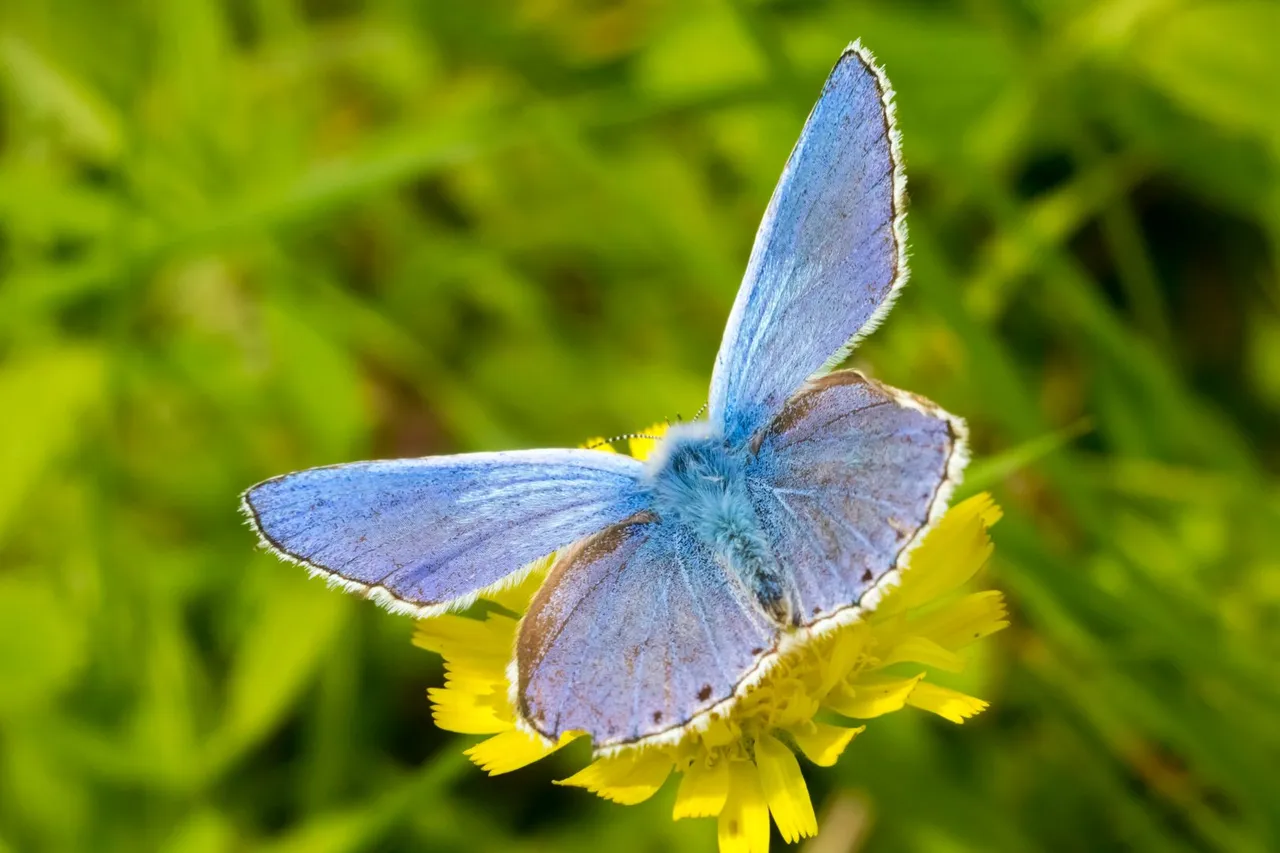
During drying, I noticed that a lot of butterflies were flying in the meadow. I remembered that I probably have a macro intermediate ring in a backpack with all the equipment, which would definitely be suitable for catching butterflies.
Během sušení jsem si všiml že na louce létá spousta motýlů. Vzpomenul jsem si, že v batohu s totovybavením mám pravděpodobně macro mezikroužek, který by se na zachycení motýlů rozhodně hodil.

From this place, the road led through a lifeless landscape, where the harvested areas of the forest alternated with protected areas, where several species of endangered animals were to live. But thanks to the noise from the forestry work, I didn't see any.
Od tohoto místa pak cesta vedla přes nezáživnou krajinu, kde se střídaly vytěžené plochy lesa s chráněnými oblastmi, kde mělo žít několik druhů ohrožených zvířat. Ale díky hluku z lesnických prací jsem žádné neviděl.