
I went back to Clear Creek this weekend to locate some hidden mines and collect some very rare minerals. This post will focus on the natural beauty of Clear Creek followed by a mineral report tomorrow.
Clear Creek and the mountains that feed it are slightly toxic due to heavy metals, mercury & asbestos. Cinnabar, the ore for mercury, was discovered here in 1852 during the California Gold Rush. Mercury binds to gold and so it was used by prospectors to collect small amounts of gold that might otherwise escape them. The mercury mining was done all throughout the mountains and the town of Idria was established, although you can no longer get to Idria because of the government.
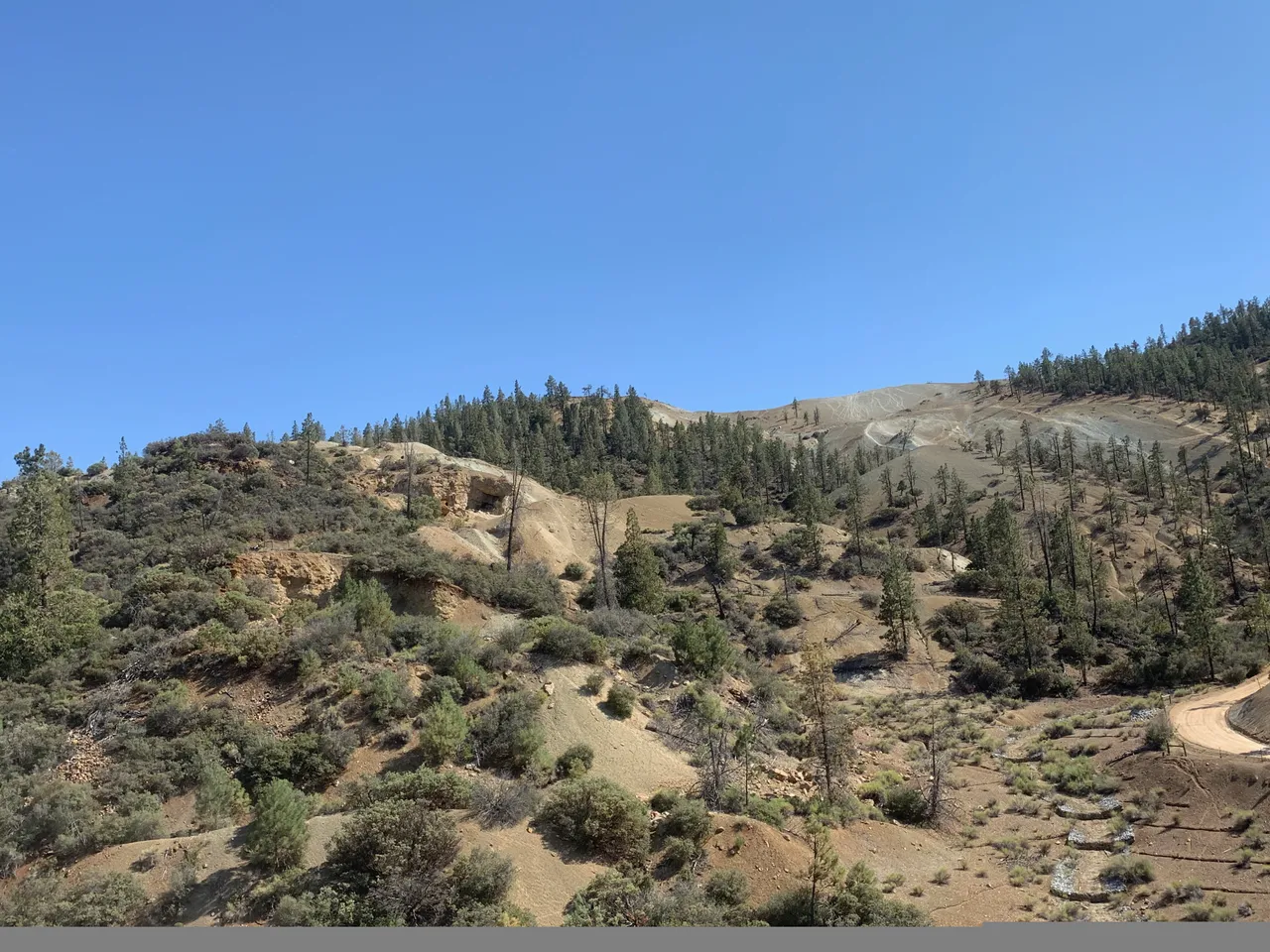
Several decades later asbestos was found and mined in huge open pits into the 1970's. When the mineral was found to cause cancer the mines were abandoned and left to the elements. The last mine, KCAC pit, upper left in the image below, was closed in 1998.
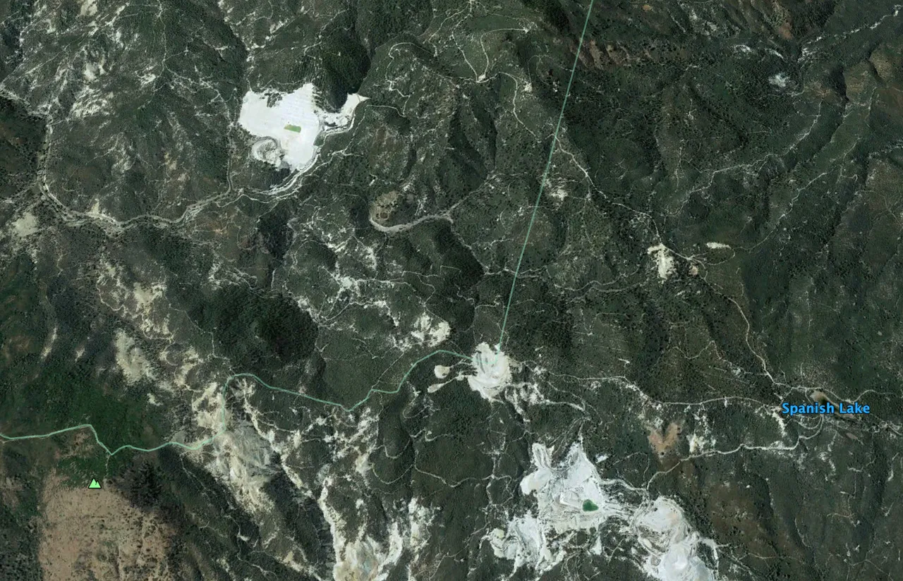
(The view of the larger pits from 20,000 feet up)
The area then became a legendary camping and off-road playground. The barren mountain tops provided for excellent dirt bike riding as well as places to camp or just get amazing views of the surrounding area.
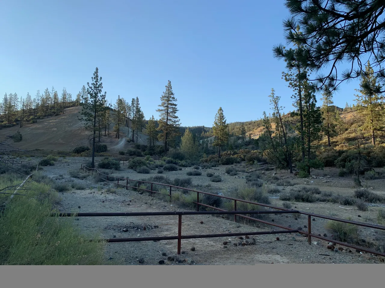
(old staging area for off-roaders)
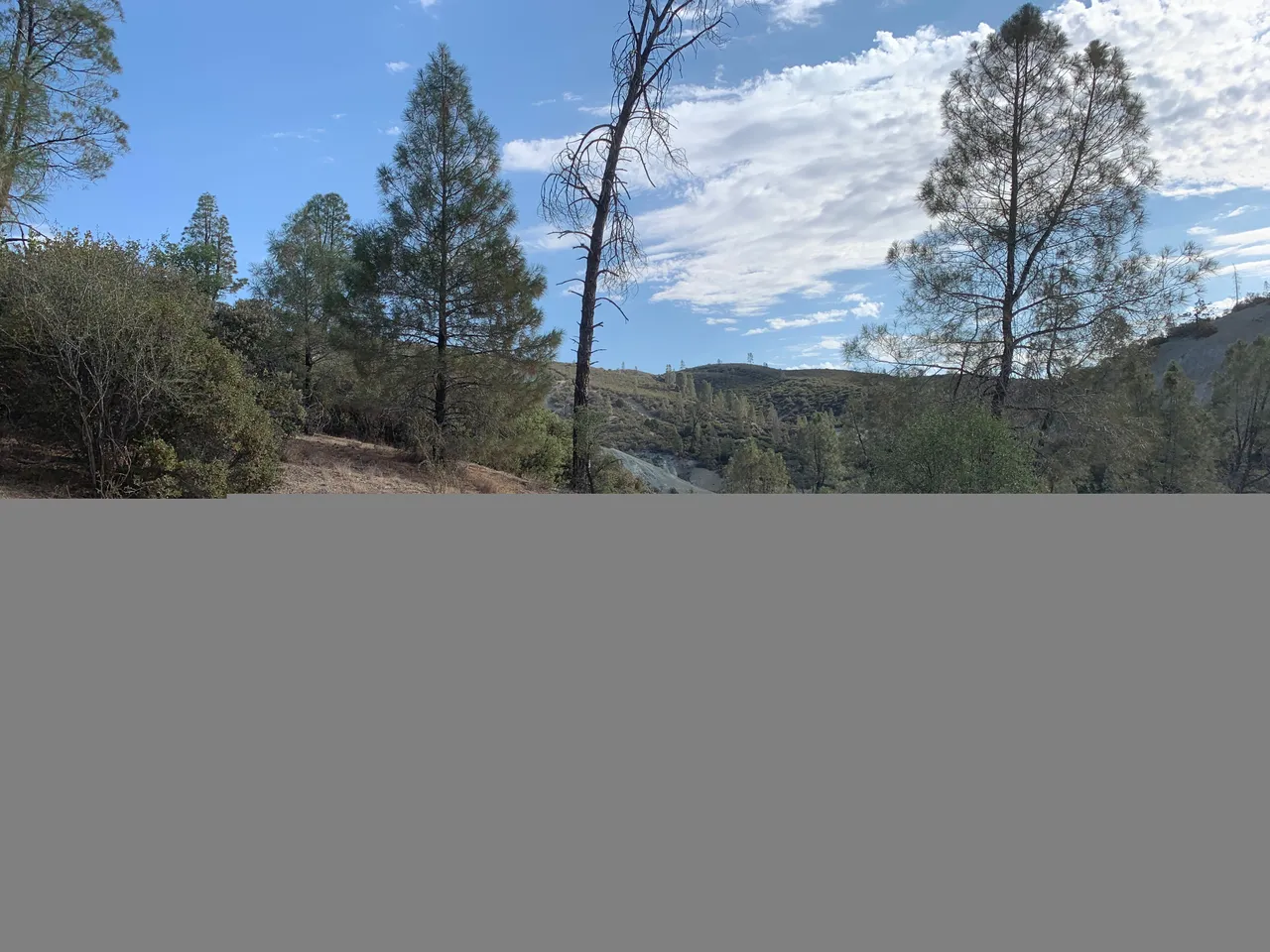
We began our hunting in a canyon feeding the staging area shown above.
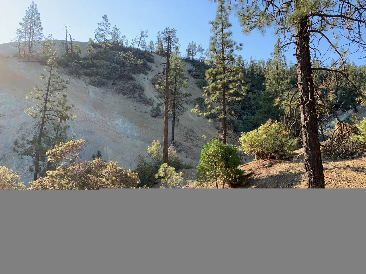
The mountain range contains a large amount of a mineral called serpentine, the California state rock. Serpentine contains asbestos and is also very poor soil for plant life, so parts of the mountains are barren.
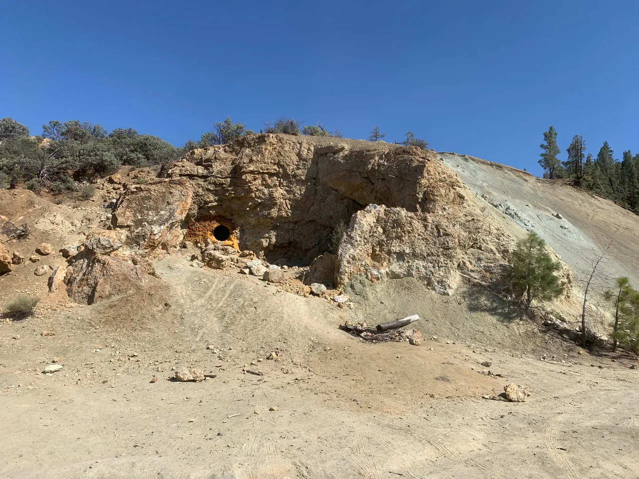
While hiking up a canyon we were searching we found an old mercury mine. This ore cart was partially buried in the ravine.

A bit further up the canyon was the rock outcrop we were interested in inspecting.
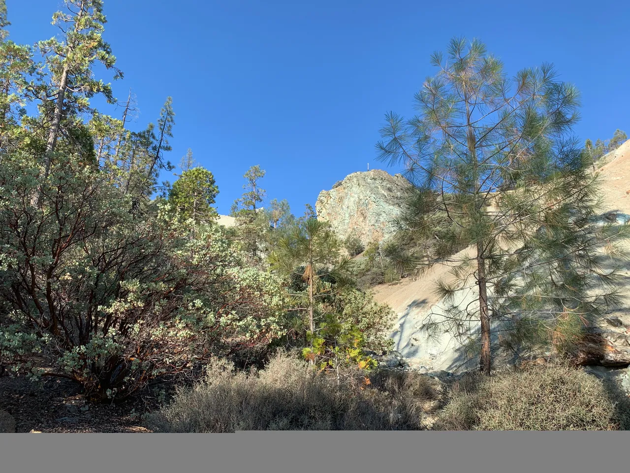
I made it up to the outcrop and took a photo from the saddle, center section.
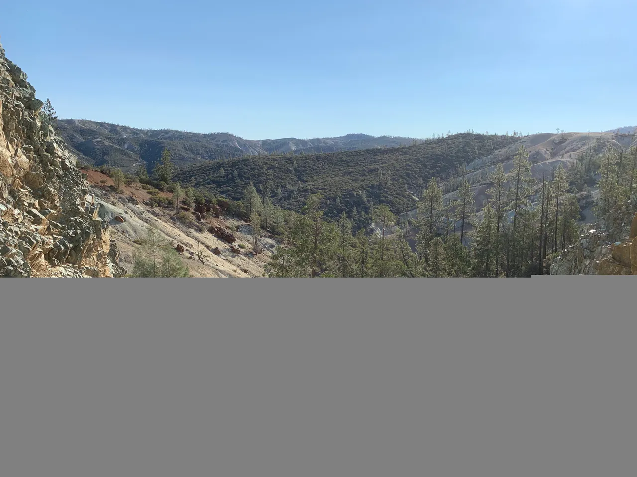
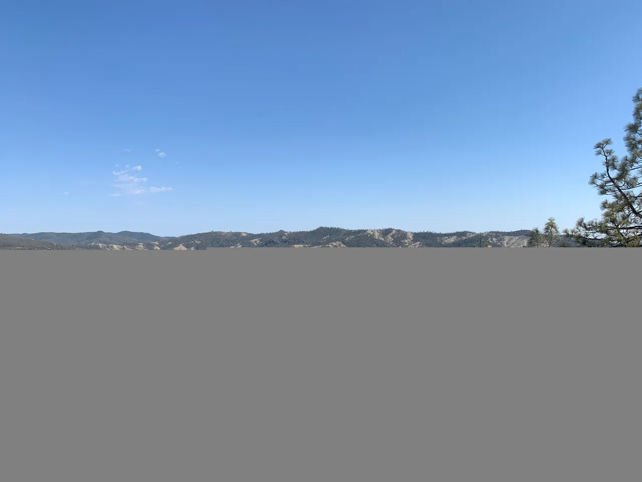
This was the view from the summit. In the distance you can see a line going up the mountains. That is the road we would later drive up to get to the other areas we explored.
Even though it was only 9:30 am when we made it to the summit, it was already in the mid 90 degrees.
On the way back down the mountain we stopped to check out the old mercury mining camp.
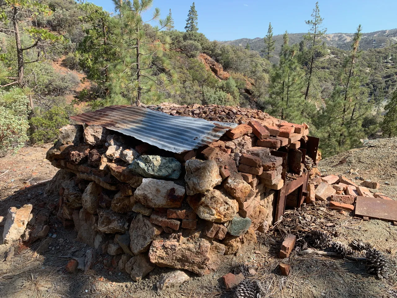
This was a furnace used to cook the mercury our of the rock.
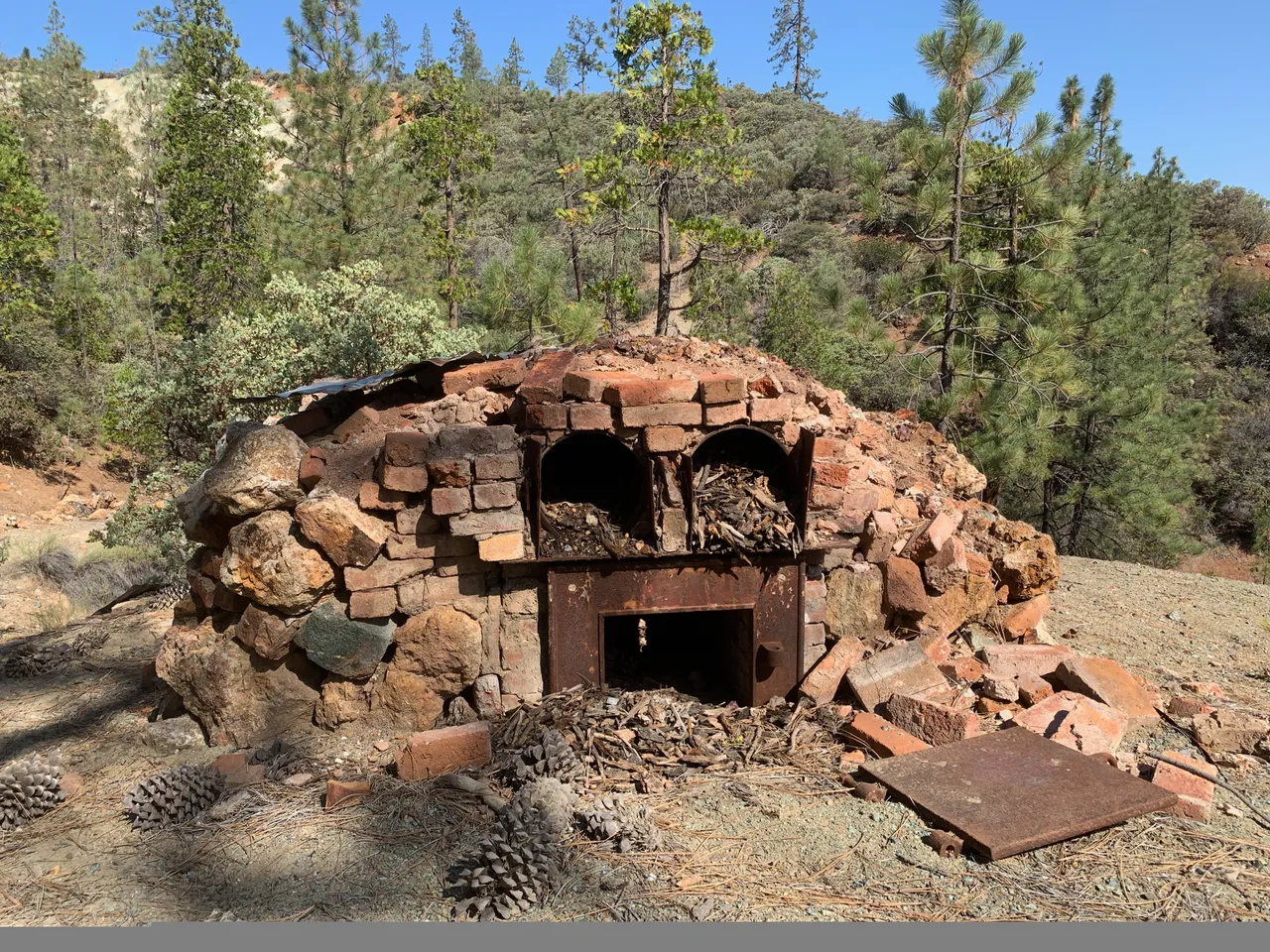

An interesting side note, the bricks were manufactured somewhere in these mountains by the Clear Creak Brick Company.

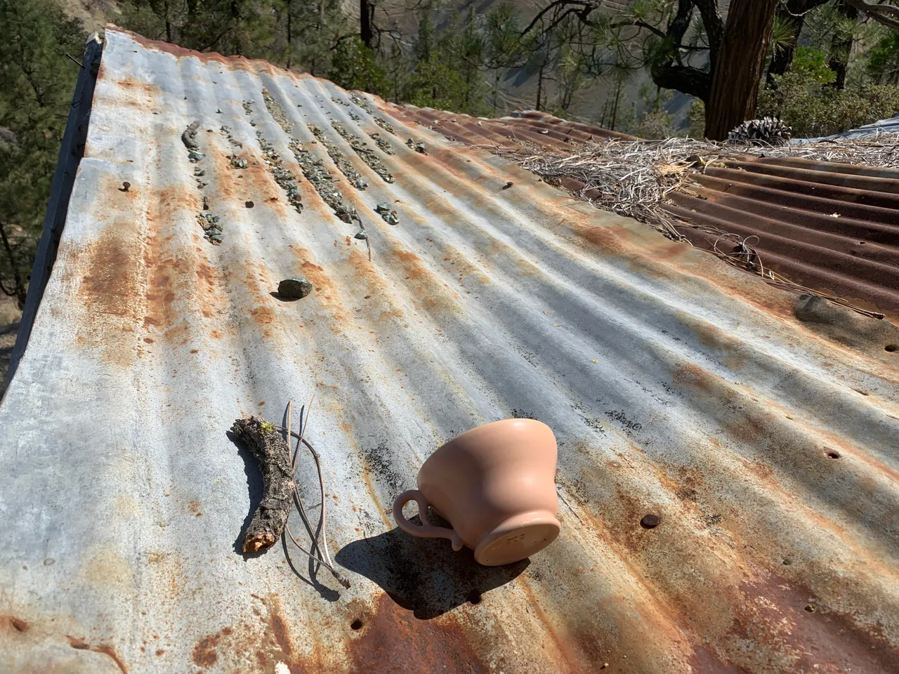
The miner's cabin hasn't fared as well as the furnace. Amazingly this old coffee cup had.
After the miner's camp we headed back to our trucks then hit the road for the next spot.
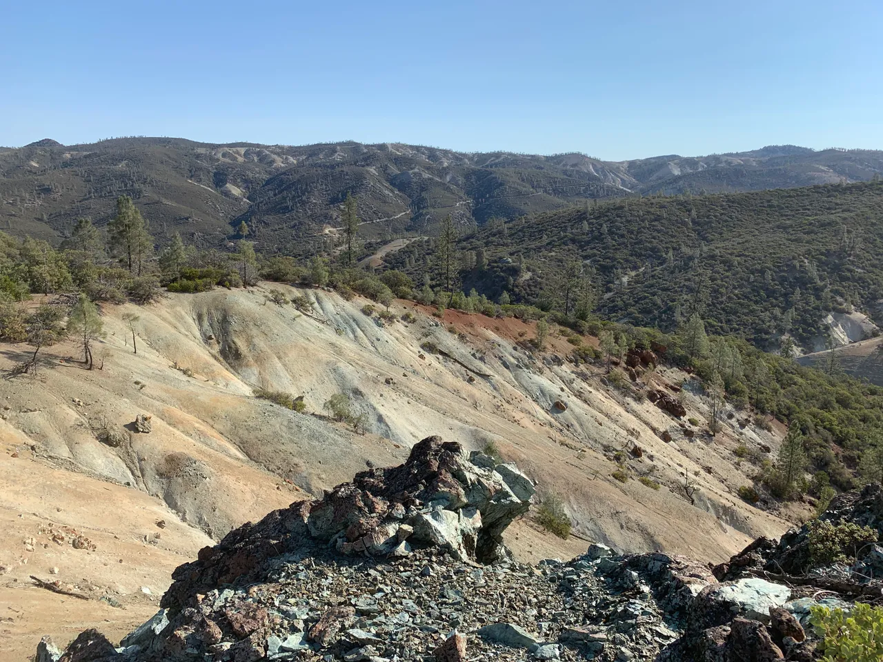
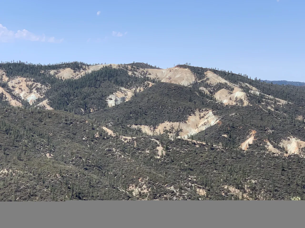
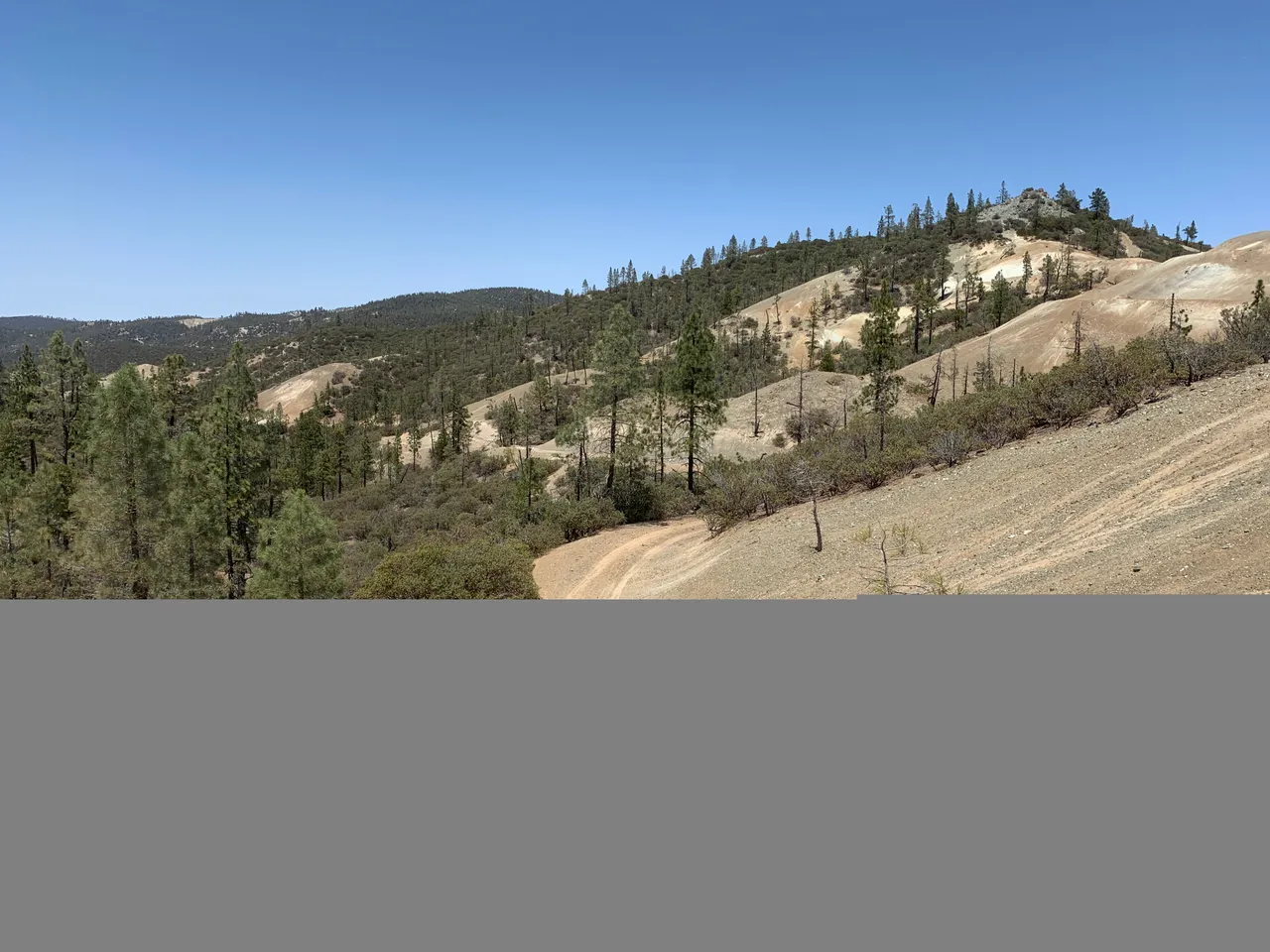
This is a view of the area we had just hiked from the road across the valley.
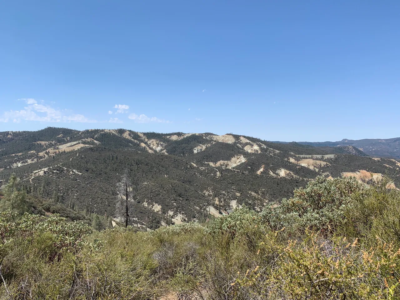
Zooming in you can see the rock outcrop we climbed, center left gray spot.
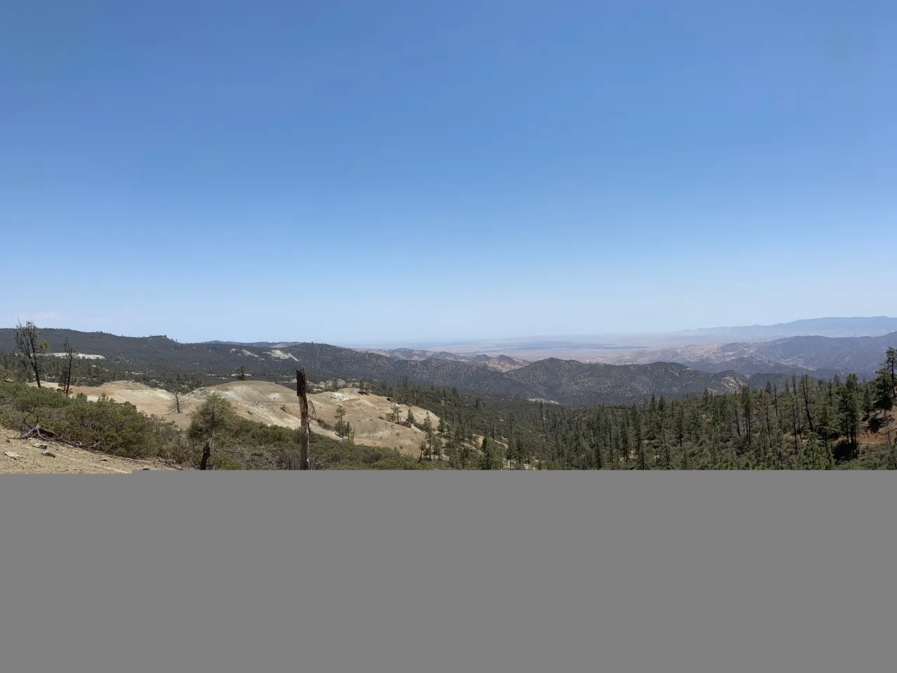
The 50 mile view. In this picture we made it to a summit on the south side of the range. The view overlooks the city of Coalinga and mountains further south.
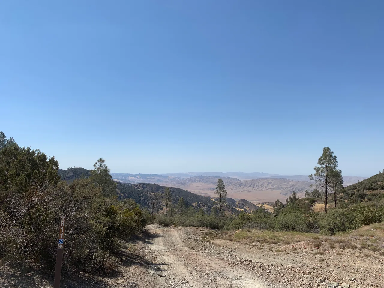
Turning around you can see the trail we came in on.
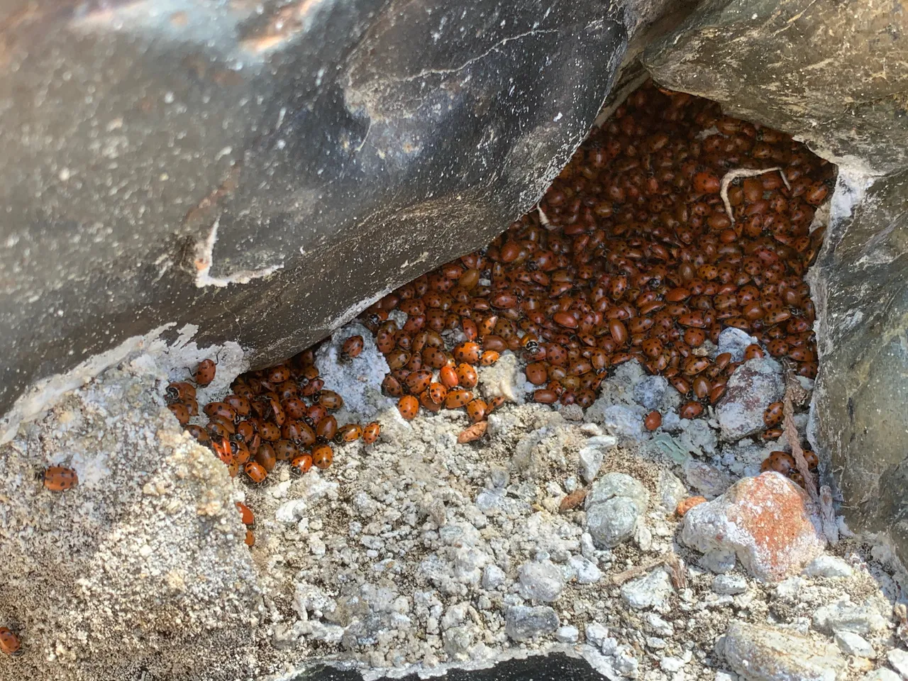
While hunting minerals in the dry San Benito river I cam across these colonies of lady bugs. There were thousands swarming all over the rocks.
After collecting we began our trek back to camp. This the view from the back side of the mountain range looking north.
And then we reached the portion of the road where we had to climb up the mountain passing the Aurora mine, an active gold & mercury mine.
We stopped off at one more location when we got to the top of this mountain.
It proved to be one of the best spots of the day as I found a mine I have been looking for for years. I'll post about that and the other locations tomorrow. Until then, thanks for reading!
