Mt Beerwah: a harder summit than we expected.


From the viewing point, not far from the car park

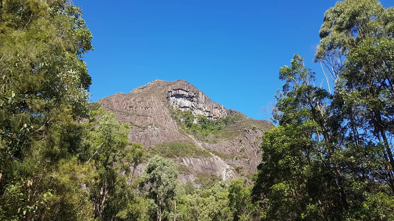
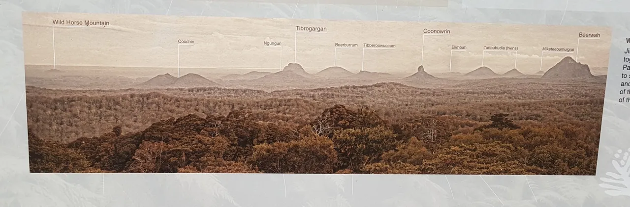
Mt Beerwah is located in Jinibara Country on the Sunshine Coast, Queensland, Australia. It is the highest of the volcanic plugs formed around 25 million years ago.

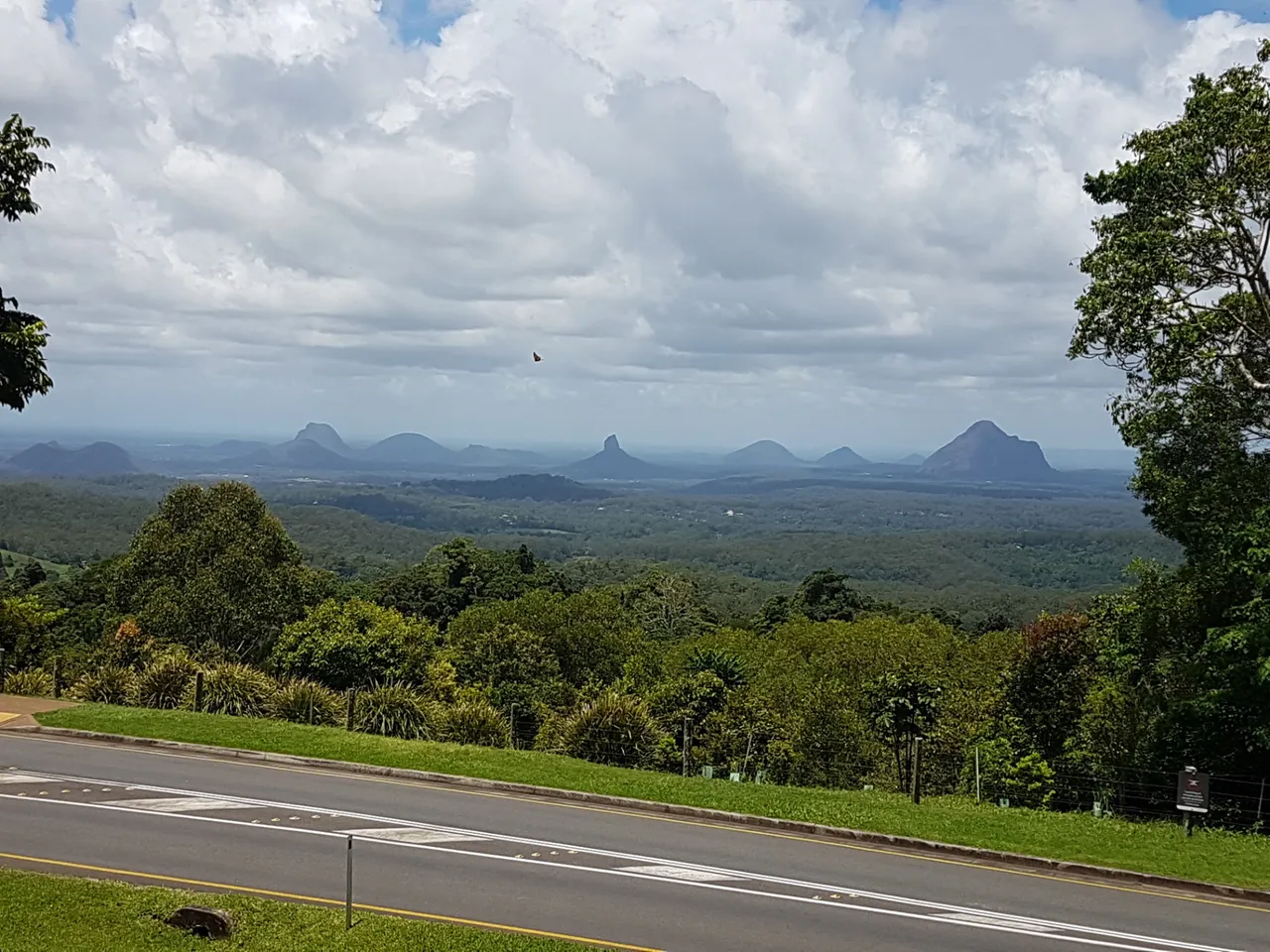
Aboriginal legend tells us that Mt Beerwah was the pregnant mother of the Glasshouse Mountains group and mother of all surrounding mountains.

The Glasshouse Mountains were named by James Cook on his 1770 voyage to Australia.

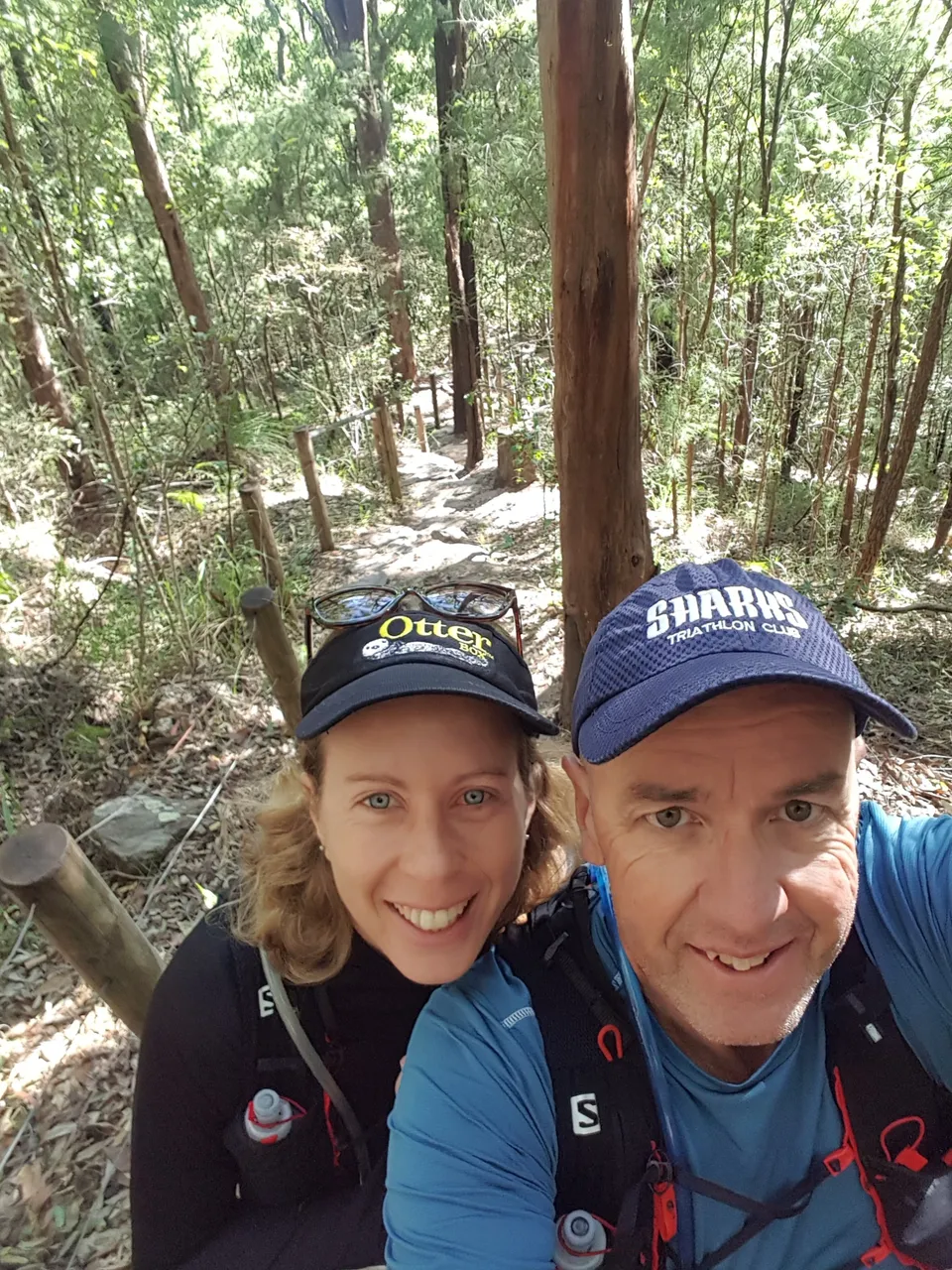
I had been to the top of Mt Beerwah probably 30 years ago when I was living on the Sunshine Coast, but I couldn't really remember much of it. 

It looked pretty easy on the National Parks sign.

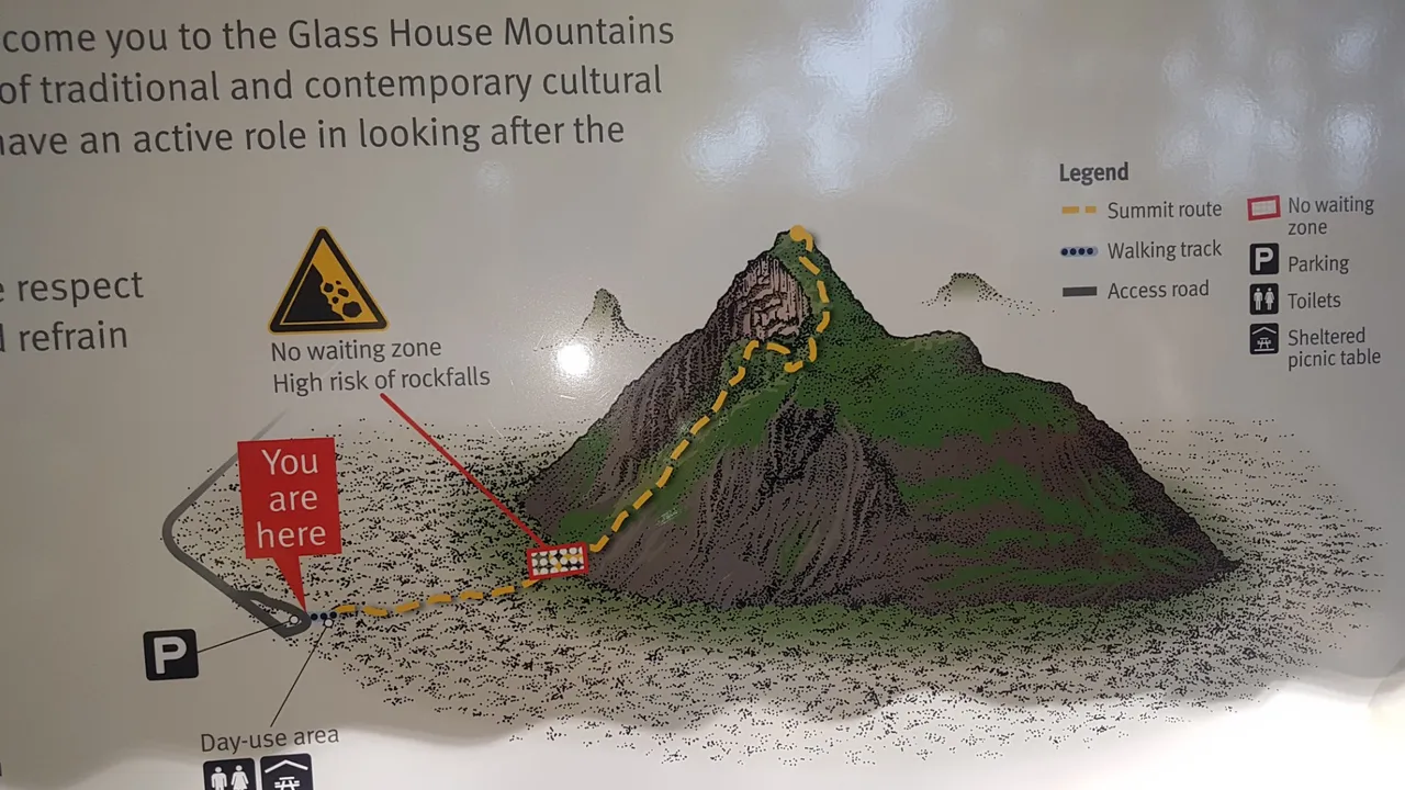
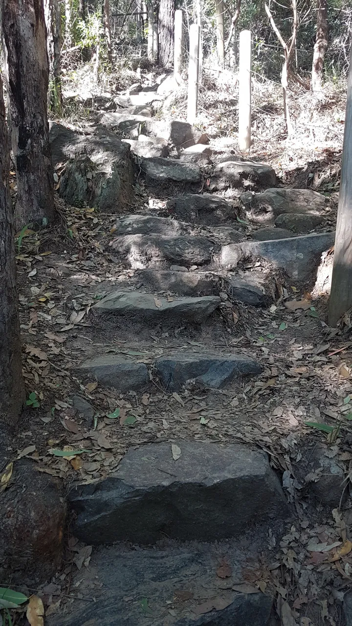
But there were plenty of warnings; it is classed as a pretty serious hike (a "summit" actually) with a fair bit of rock scrambling. It's not for the faint-hearted.

View of the Glasshouse Mountains from Mary Caincross Park. Mt Beerwah is the biggest one on the far right.

This is a National Parks sign, highlighting the names of each of the Glasshouse Mountains.

Off we go!
Off we go!

Pretty easy start to warm up.

If you dare, bring your best shoes and look for the well worn path up the rock slab.

Not much further to the top!

We made it! That’s Mt Coonowrin to the right of Caroline.
We made it! That's Mt Coonowrin to the right of Caroline.

And that’s a pineapple farm in the background well below us.
And that's a pineapple farm in the background well below us.

Going back down the mountain. Things got pretty busy on this difficult climb, though it makes sense because they then it was midday on a weekend.

It was not super steep, but definitely steep enough to make you think twice before making your next move. You wouldn’t want to lose your footing.
It was not super steep, but definitely steep enough to make you think twice before making your next move. You wouldn't want to lose your footing.

A panorama shot always give a good contrast!

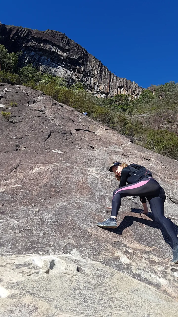
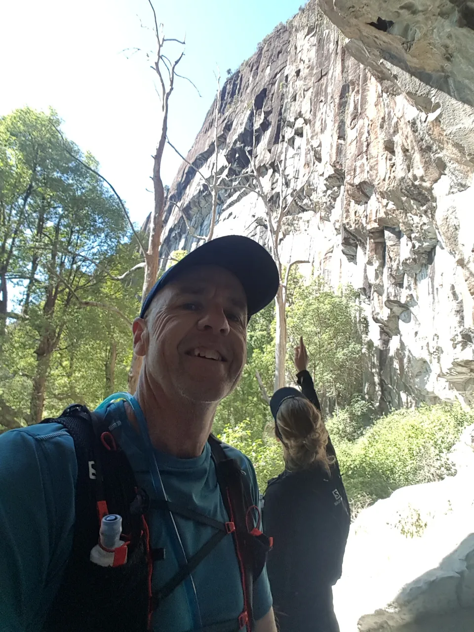
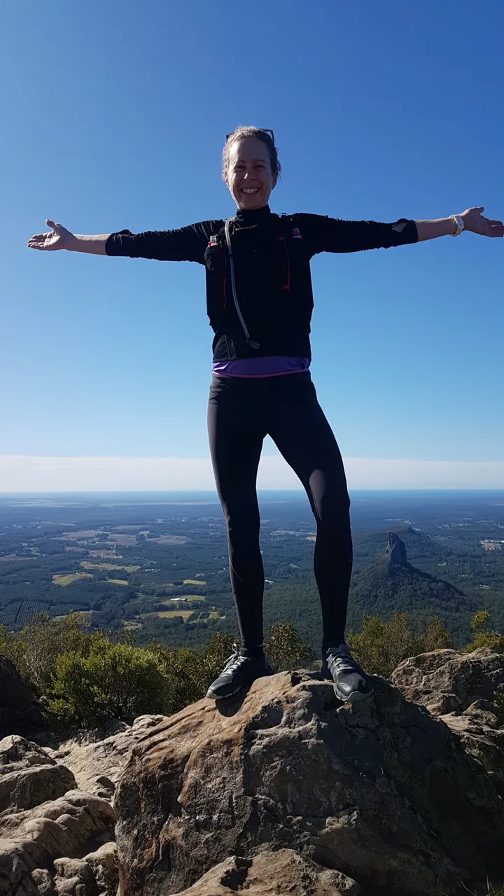
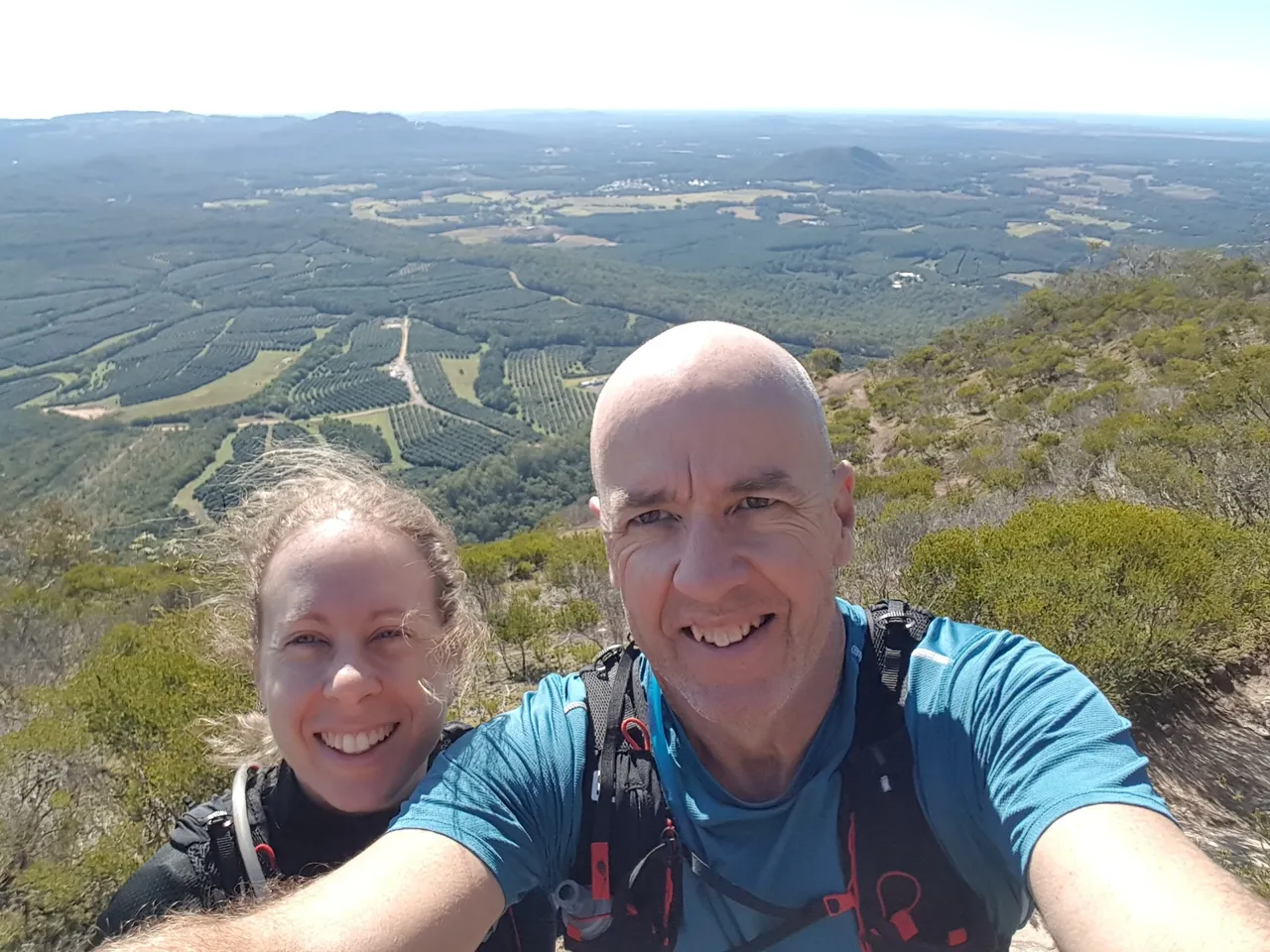
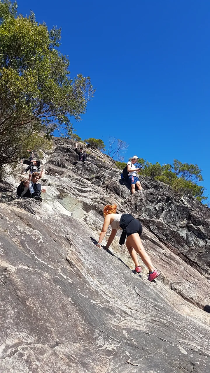
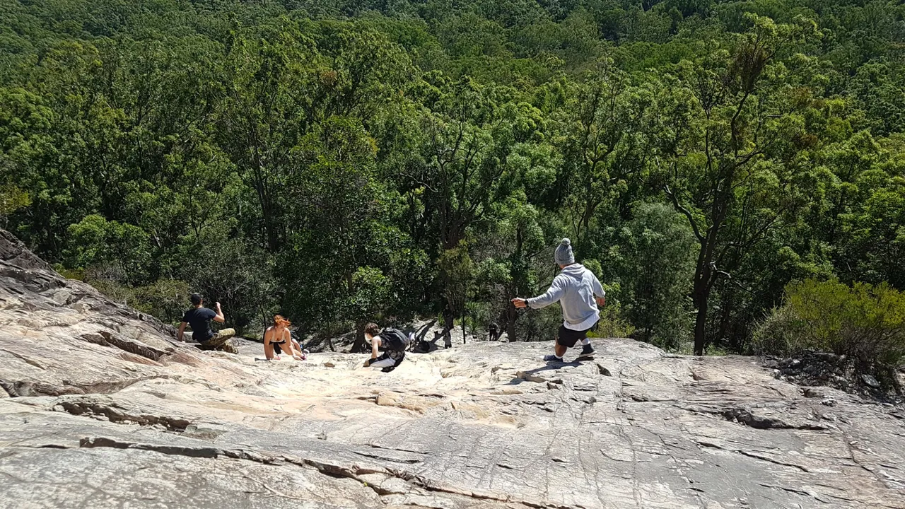
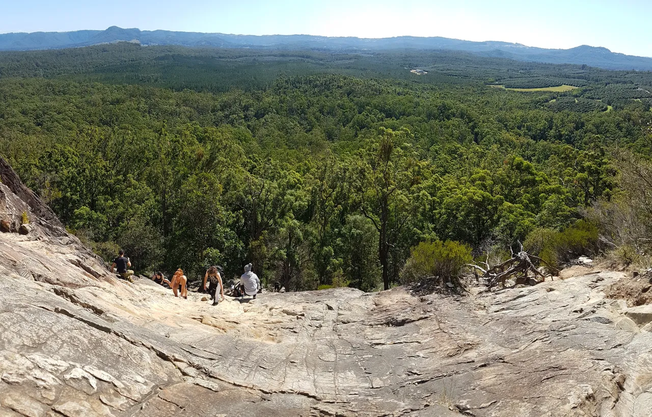
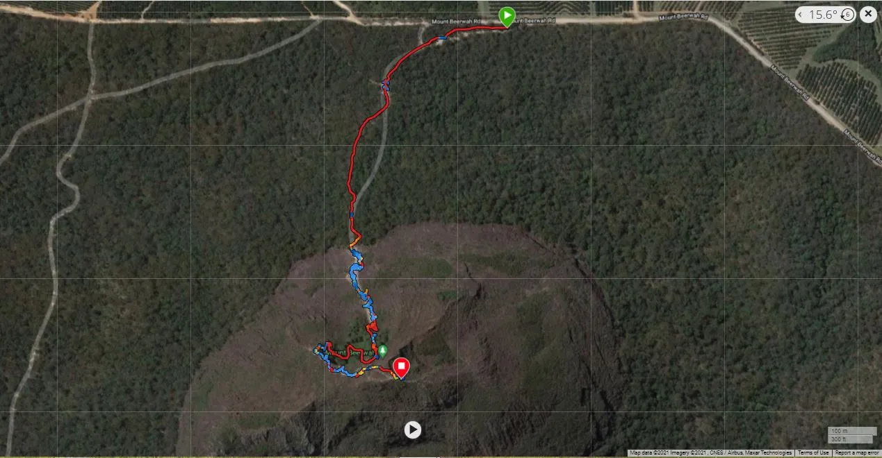
We started our hike from about 150m above sea level and got to about 550m at the very top of Beerwah. This 400m elevation gain over just 2 km of distance took us an 1 hour 20 minutes, which speaks to how hard the summit was! We had lots a breaks to enjoy the views, have rest stops for our strongly beating hearts and to give way to others going up or down around us.

Screenshot of my Garmin Connect GPS file to give some perspective.

H2
H3
H4
3 columns
2 columns
1 column
8 Comments
Ecency