Greetings inhabitants of this beautiful and vast multiverse of #hive, this time we went to visit the historic center of the first city founded by the Spanish empire on the American mainland, back in the year 1521.
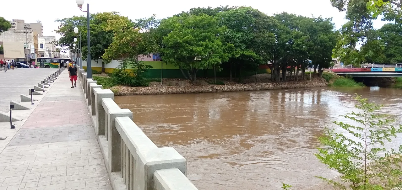
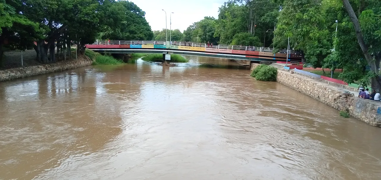
It is about the city of Cumaná, which was populated by the Cumanagotos Indians and which in the indigenous language means "Union of the sea and the river", in it are the Manzanares River and the Caribbean Sea in the Gulf of Cariaco.
In this small walk we walk through the birthplace of the poet Andres Eloy Blanco, located in front of Plaza Bolívar, the seat of the regional government.
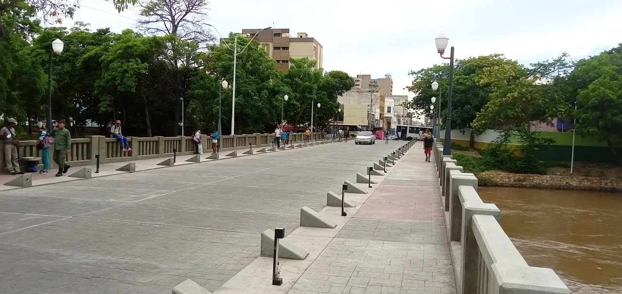
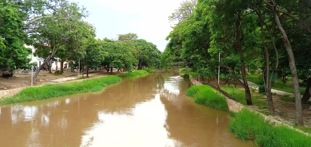
Our walk begins right at the Guzmán Blanco bridge, which connects the Santa Inés parish with the Altagracia parish, separated by the Manzanares river.


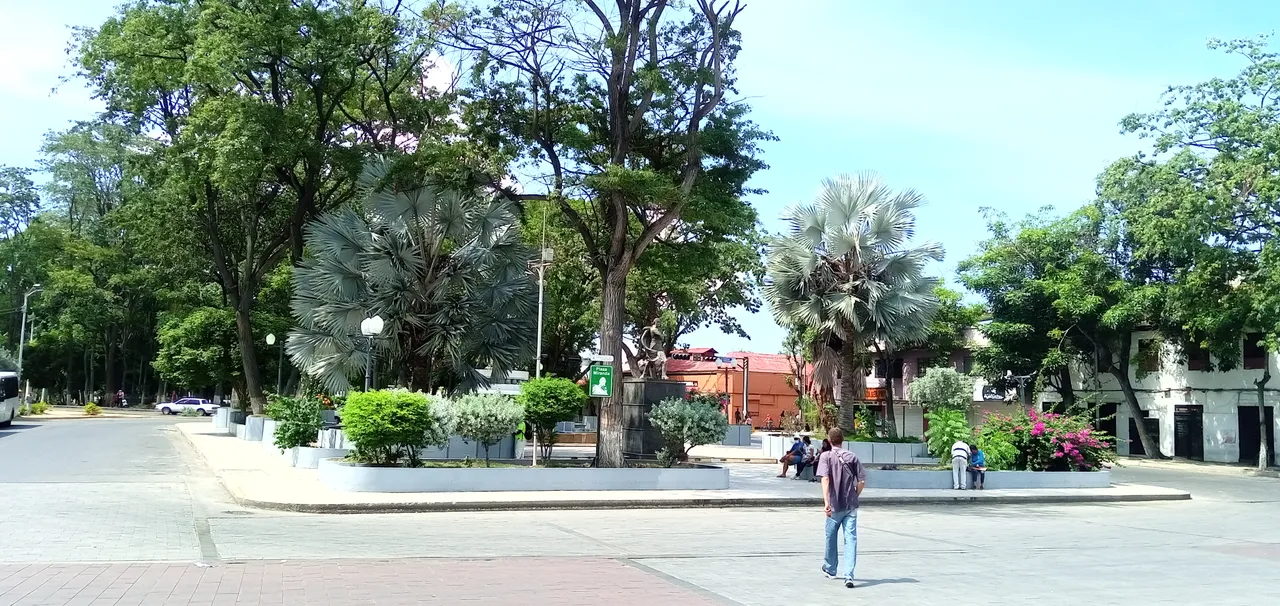
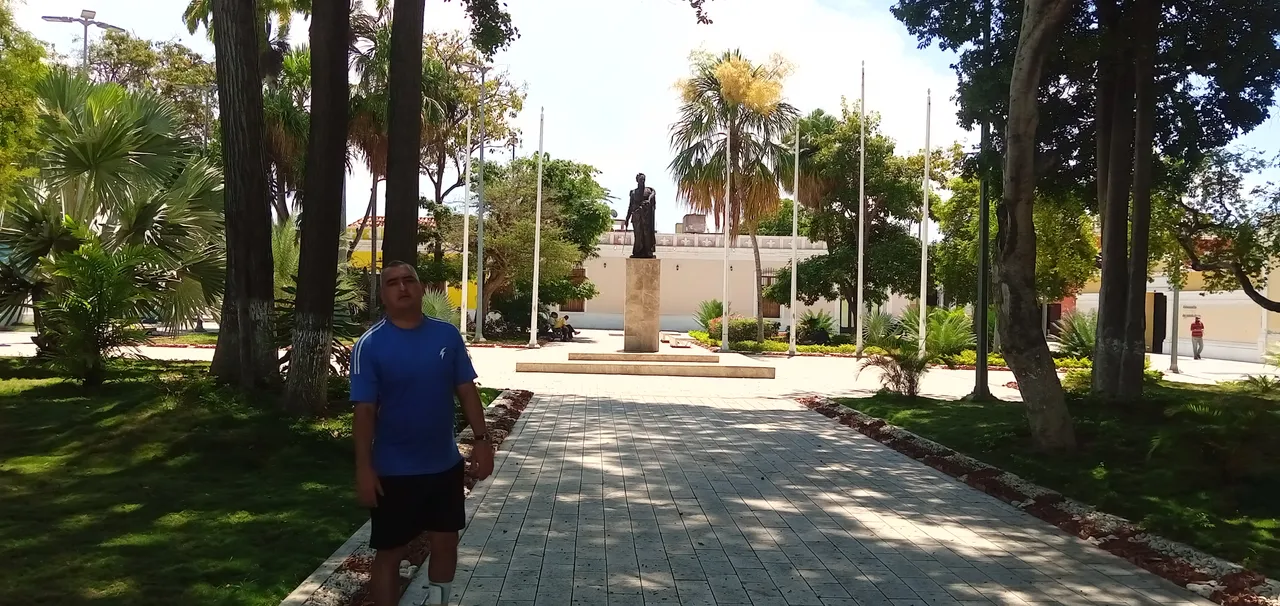
When descending the bridge we come across the Pedestrian statue and the Plaza of Generalissimo Francisco de Miranda, a square that bears the name of this father of the Nation, and that in addition to his contributions in the fight for the independence of South America, He was the creator of the Venezuelan tricolor flag, in addition to participating in the fight for the independence of France, (His name is immortalized in the Arc de Triomphe), and also collaborated in the emancipation of the people of the United States of North America.
Here are some graphics of Plaza Miranda and its surroundings.
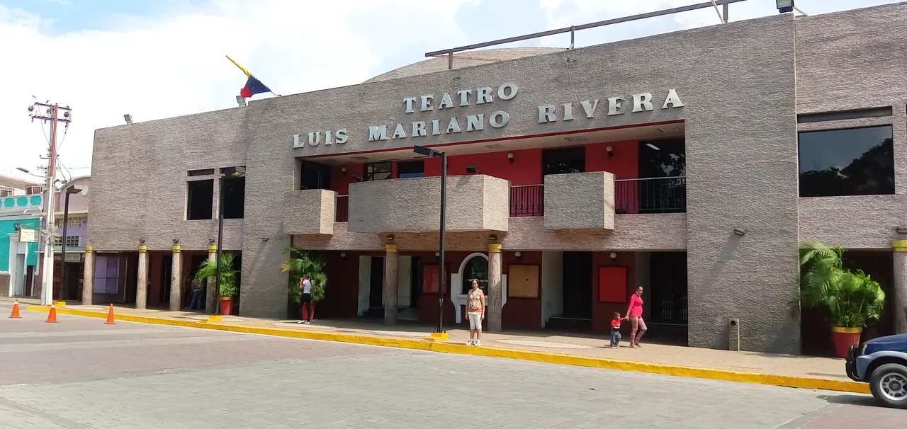
From here a panoramic view of the Luis Mariano Rivera theater, a place for gatherings and all kinds of cultural events, located exactly in front of Plaza Miranda in the small but beautiful city of Cumaná.
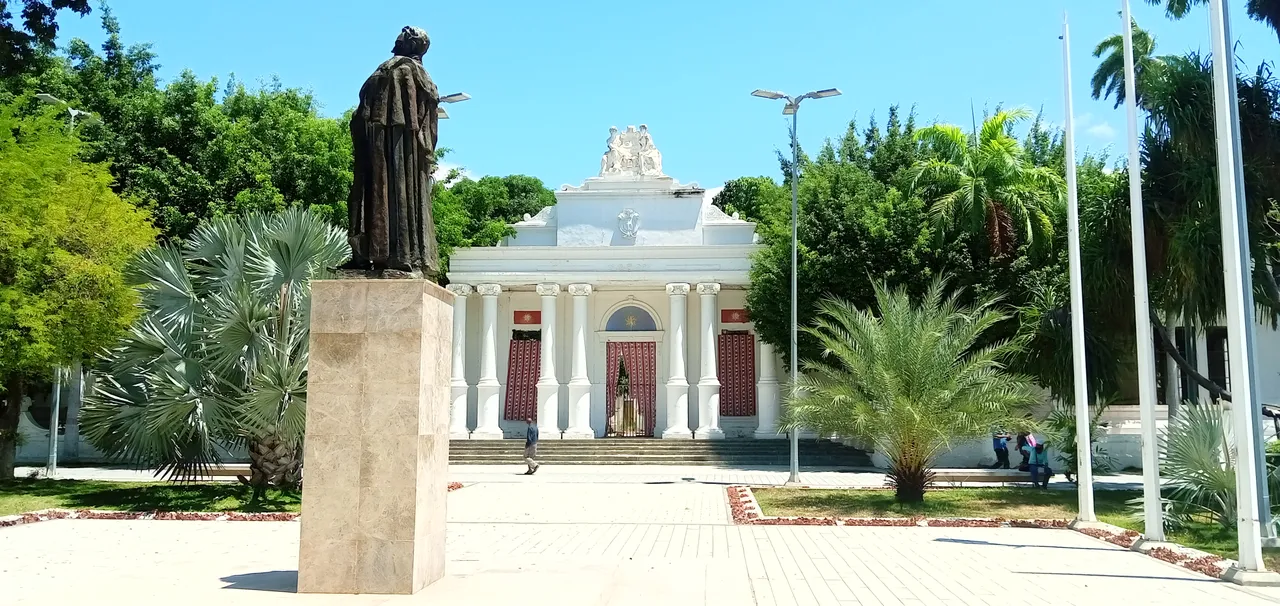
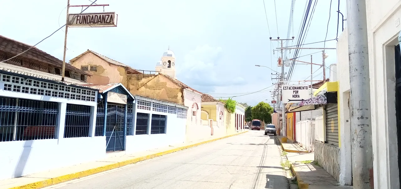
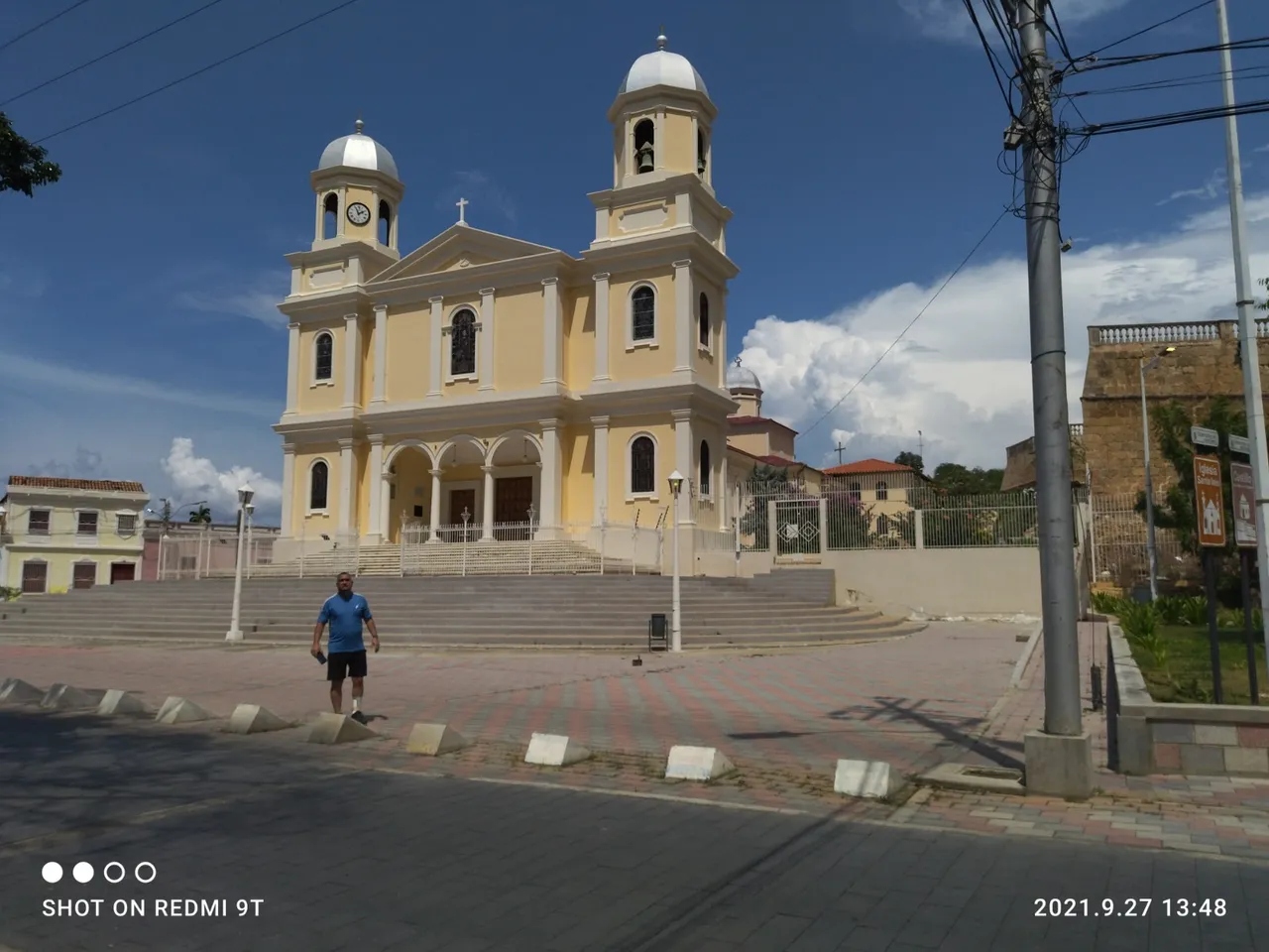
We walk about a hundred meters and we come across the corner of Plaza Bolívar, from here we can see the cathedral church at the end of the street or by its full name; Metropolitan Chair of the Sacred Heart of Jesus.
*, seat of the archbishopric, its construction dates from the 18th century, it was destroyed in 1929 by an earthquake, and rebuilt in the year 1936.
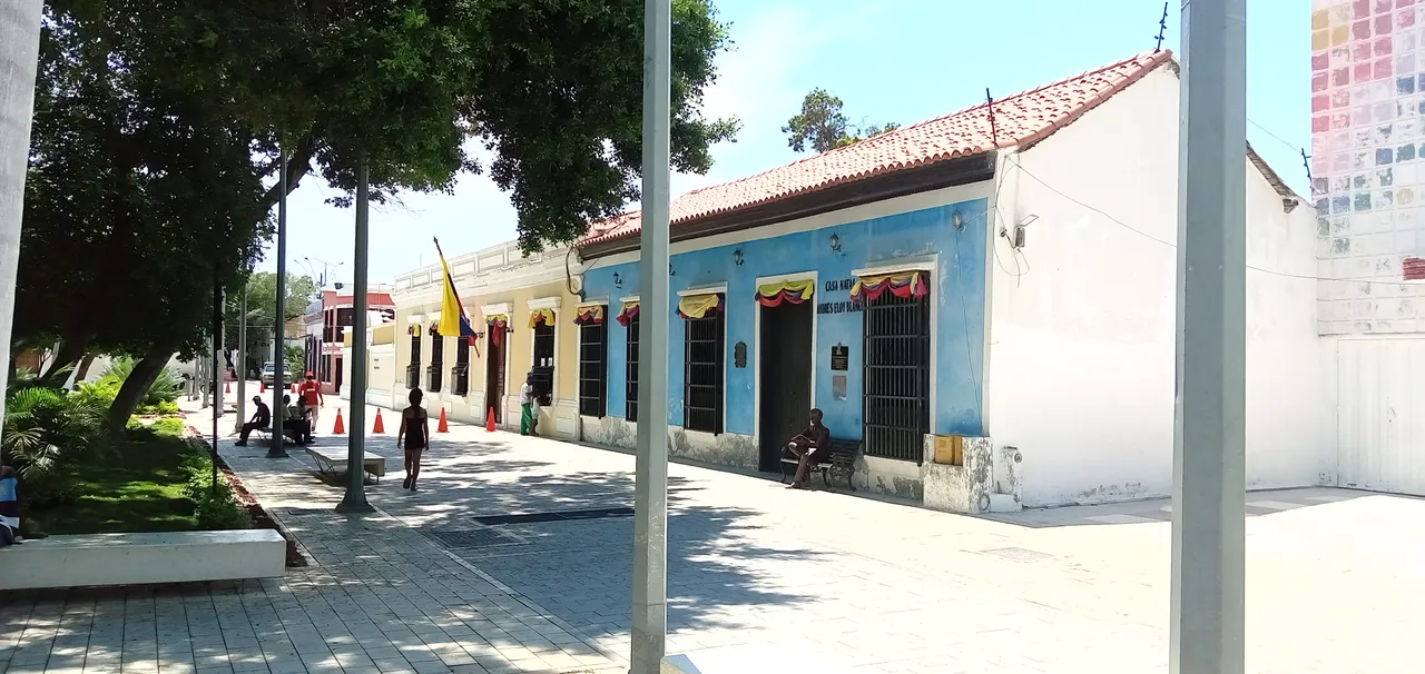
Here we find the colonial façade of the birthplace of the poet Andrés Eloy Blanco
* Whoever was a writer, poet, perhaps the best speaker of his epoch, political, etc.
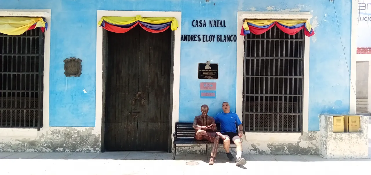
Here we were able to take a photo with the same poet Andrés Eloy, who has his own statue given to reading, as he was all his life.
Here we go out with the statue of the liberator Simón Bolívar, in the square that bears his name.
Here is another graphic of the square, behind the regional government headquarters, a currently disincorporated building, the product of a fire some years ago.
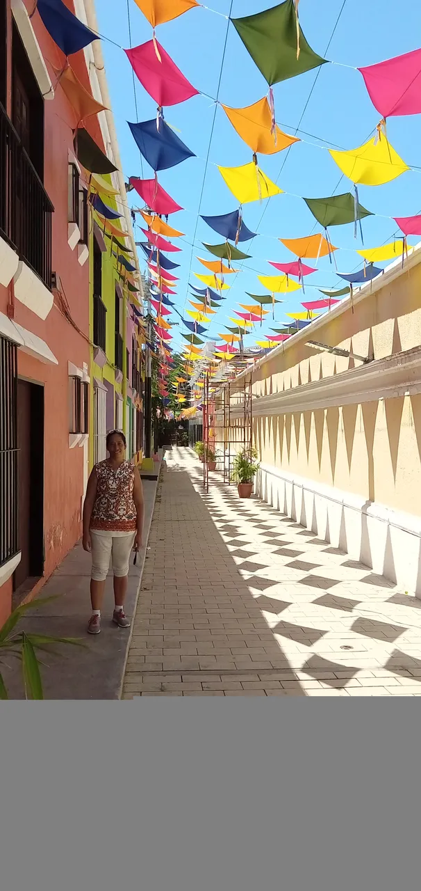
This graphic is from Juncal alley, which has been undergoing repairs for some time, although it already looks splendid and ready to open to the public, in this is the official residence of the governor.
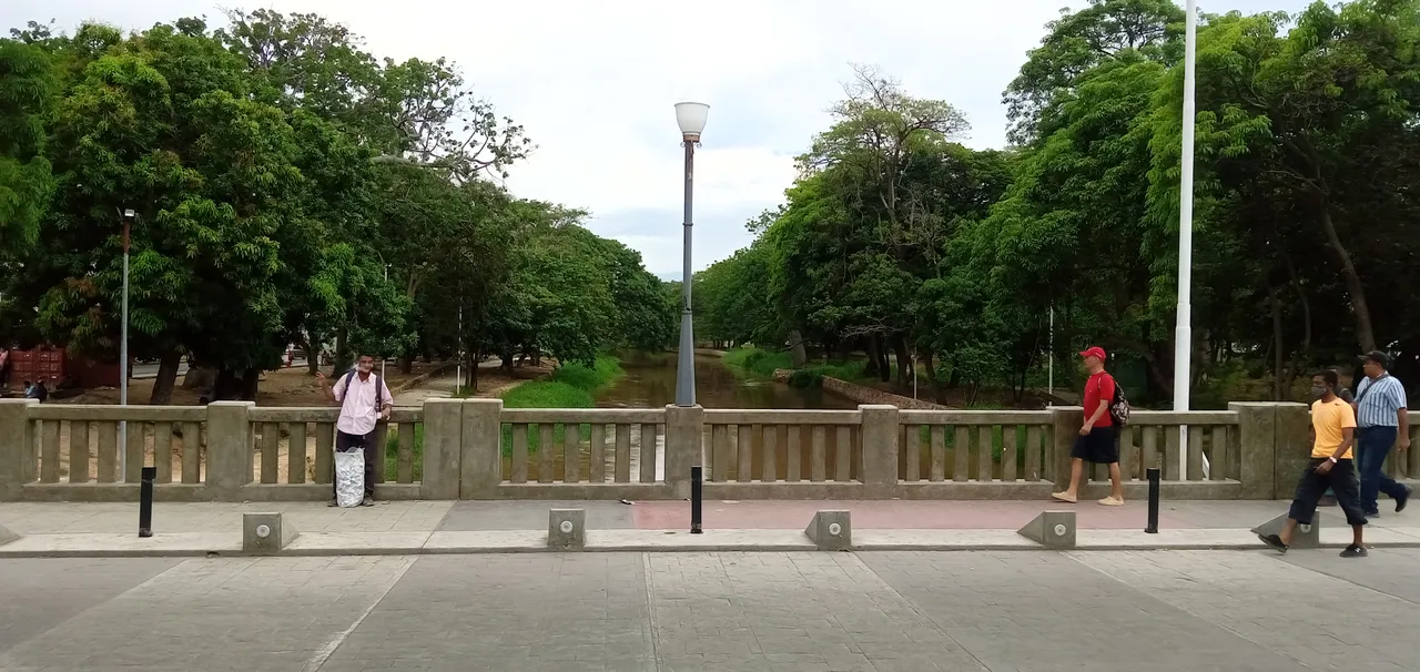
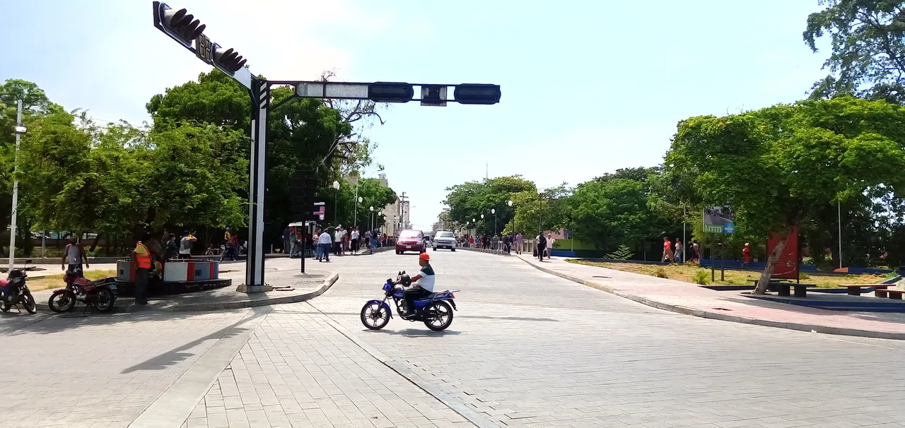
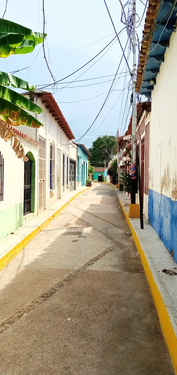
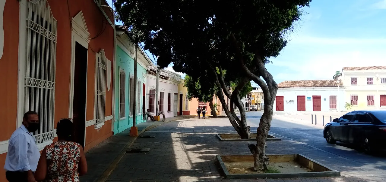
This is where the tour of Plaza Bolívar ends and we move another two hundred meters to visit the colonial zone known as the historic center of the city.
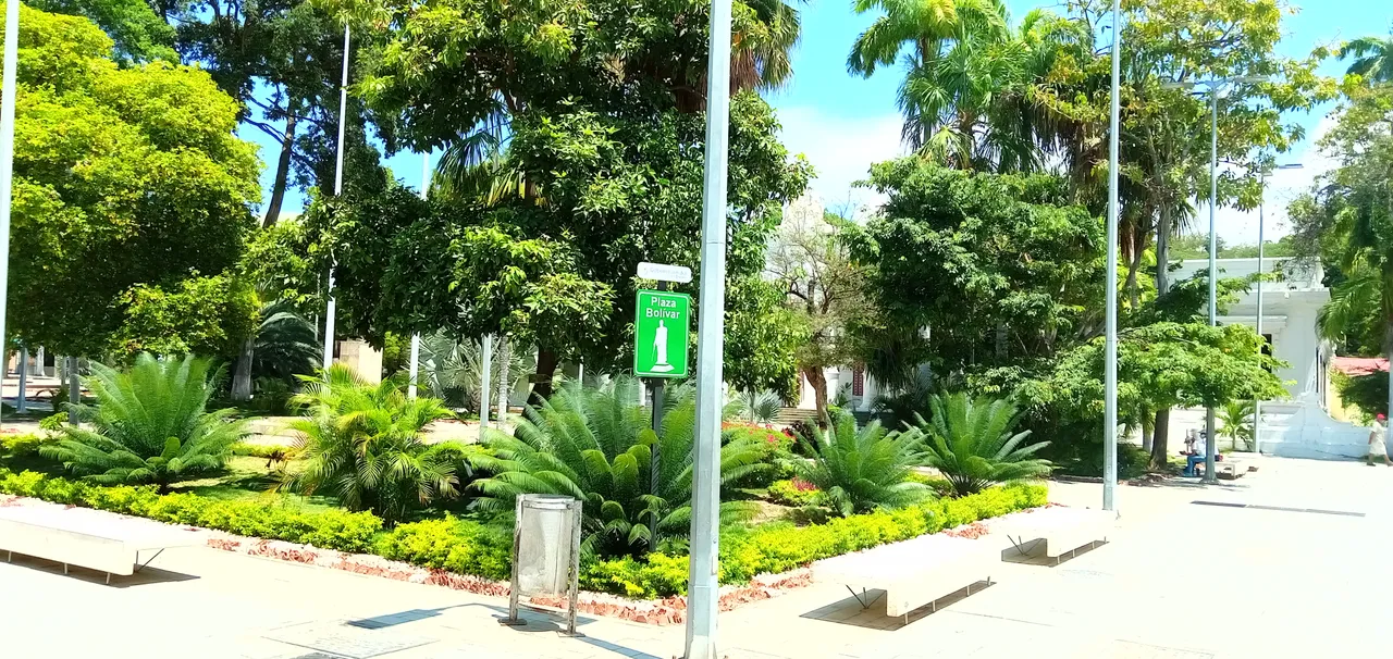
Plaza Bolívar.
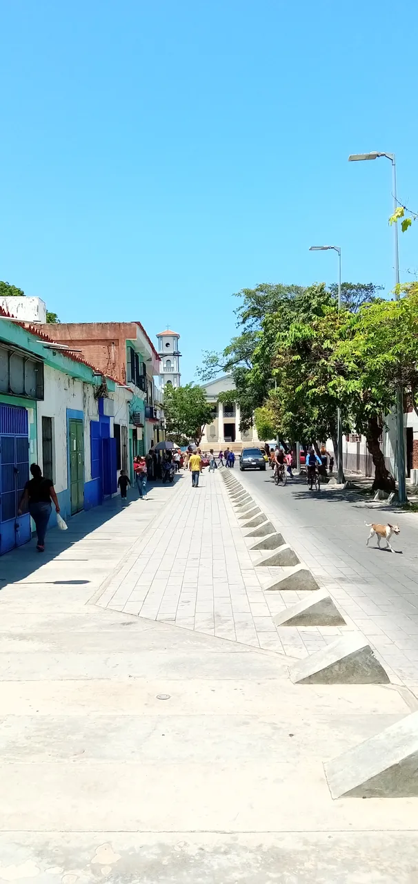
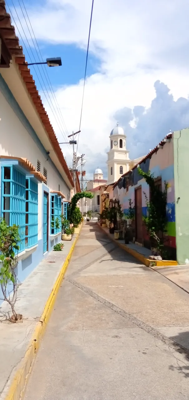
In this graph, the domes of the Santa Inés church can be seen in the distance, after passing some inns and lodgings (very cheap, by the way), although we will take a shortcut to get there.
Here we are in the famous "El Alacrán" alley that bifurcates with the "La luneta" alley and the exit formerly known as "Callejón de la horca"
* A magical place, both for its beauty and antiquity, and for the gatherings that took place in the cafe with its magical atmosphere that is in the middle of it.
This image is perhaps the most iconic of the entire historic center of the city, it has been the inspiration of poets and painters, who have taken their works of this landscape around the world.
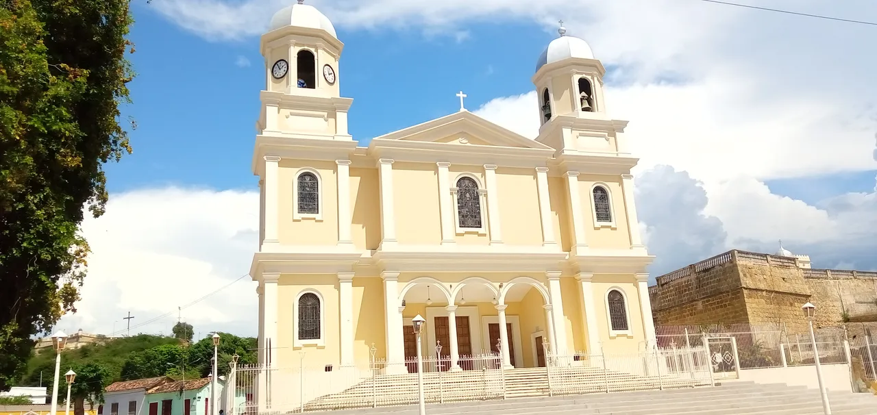
When leaving this magical El Alacrán alley, we come across the Santa Inés church
* dating from 1678, and which was destroyed by two earthquakes, one in 1797 and the other two years after 1799 and rebuilt in November 1862, a structure that survives to this day.
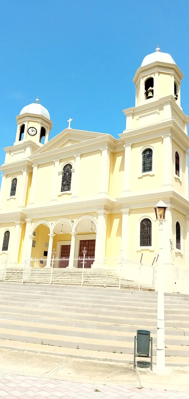
Facade of the Santa Inés Church.
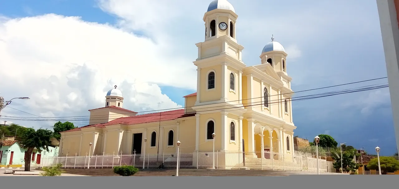
Side view of the Santa Inés church.
This graphic is very interesting since on both sides of the church you can see on the left side in the highest part of the hill known as "Pan de Azúcar", the castle of San Antonio de la Eminencia
*
that served as a shelter to the city, and on the right side, the castle of Santa María de la cabeza
* both buildings date from the founding of the city which is more than 500 years old.
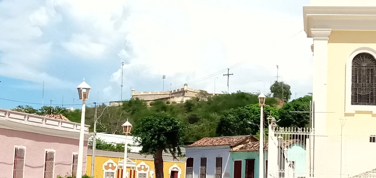
At the top you can see the castle of San Antonio de la Eminencia.
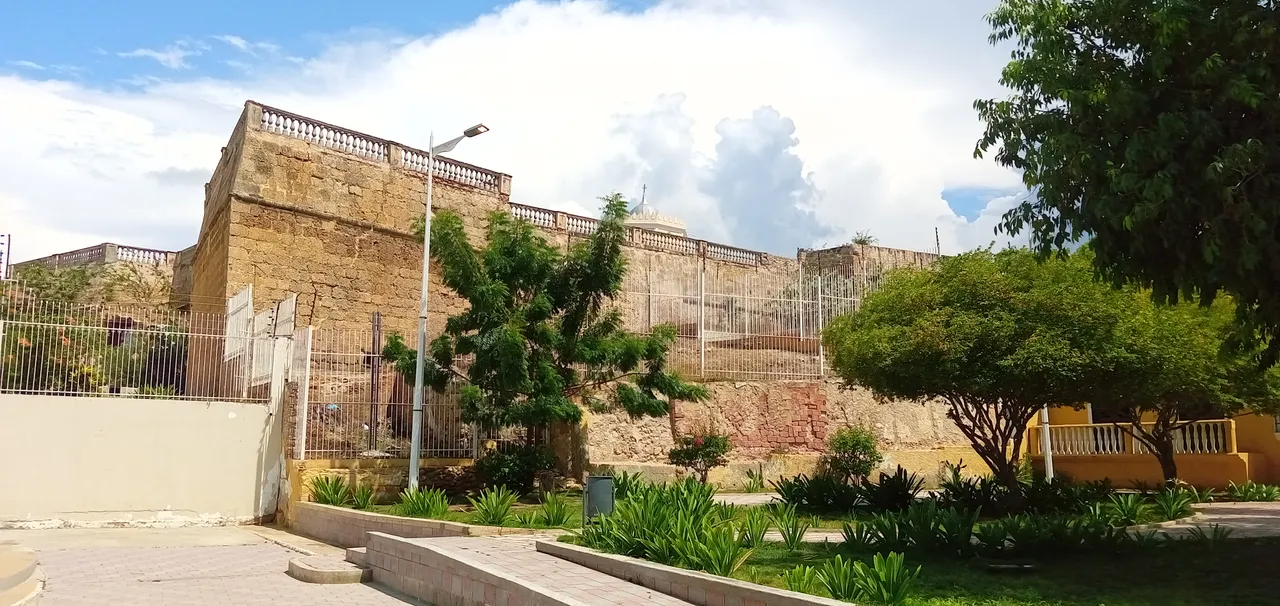
Front view of the ruins of the castle of Santa María De La Cabeza.
Around the Santa Inés church, taking a break with my fellow travelers.
Well, we come here with this spectacular trip through the historic center of the city of Cumaná, Sucre, Venezuela.
I hope it has been to your liking.
All the images were taken with my Alcatel 1 V phone, except the last photograph, which was courtesy of my travel and life companion.
Español.
Saludos habitantes de este hermoso y vasto multiverso de #hive, en esta oportunidad nos fuimos a recorrer el centro histórico de la primera ciudad fundada por el imperio español en tierra firme Americana, por allá por el año 1521.
Se trata de la ciudad de Cumaná, que era poblada por los indios Cumanagotos y que en lengua indígena significa "Unión del mar y el río", en ella se encuentran el río Manzanares y el mar Caribe en el golfo de Cariaco.
En este pequeño paseo nos paseamos por la casa natal del poeta Andres Eloy Blanco, ubicada frente a la plaza Bolívar, sede del gobierno regional.
Nuestro paseo comienza justamente en el puente Guzmán Blanco, que une a la parroquia Santa Inés con la parroquia Altagracia, separadas estás por el río Manzanares.
Al descender el puente nos encontramos de frente con la estatua pedestre y la plaza del Generalísimo Francisco de Miranda, plaza que lleva el nombre de este procer de la Patria, y que además de sus aportes en la lucha por la independencia de la América del sur, fue el creador de la bandera tricolor Venezolana, además de participar en la lucha por la independencia de Francia, (Su nombre se encuentra inmortalizado en el arco del triunfo), y colaboró también en la emancipación del pueblo de los Estados Unidos de Norteamérica.
Aquí algunas gráficas de la plaza Miranda y sus alrededores.
Desde aquí una panorámica del teatro Luis Mariano Rivera, lugar de tertulias y todo tipo de eventos culturales, ubicado exactamente frente a la plaza Miranda de la pequeña pero hermosa ciudad de Cumaná.
Avanzamos caminando alrededor de cien metros y nos encontramos con la esquina de la plaza Bolívar, desde aquí podemos apreciar al final de la calle con la iglesia catedral o por su nombre completo; Cátedra Metropolitana del sagrado corazón de Jesús.
*, sede del arzobispado, su construcción data del siglo XVIII, fue destruida en el año de 1929 por un terremoto, y reconstruida en el año de 1936.
Aquí nos encontramos con la fachada colonial de la casa natal del poeta Andrés Eloy Blanco
* Quien fuera escritor, poeta, quizás el mejor orador de su época, político, etc.
Aquí pudimos tomarnos una foto con el mismo poeta Andrés Eloy, que tiene su propia estatua entregado a la lectura, como lo estuvo toda su vida.
Aquí salimos con la estatua del libertador Simón Bolívar, en la plaza que lleva su nombre.
Aquí otra gráfica de la plaza, detrás la sede del gobierno regional, edificación actualmente desincorporada, producto de un incendio hace ya algunos años.
Esta gráfica es del callejón Juncal, que lleva ya cierto tiempo en reparaciones, aunque ya luce esplendoroso y listo para abrirlo al público, en este se encuentra la residencia oficial del gobernador.
Aquí termina el recorrido por la plaza Bolívar y nos trasladamos algunos doscientos metros más para recorrer la zona colonial que se conoce como el centro histórico de la ciudad.
Plaza Bolívar.
En esta gráfica se divisan a lo lejos las cúpulas de la iglesia Santa Inés, luego de pasar algunas Posadas y hospedajes, (por cierto muy económicos), aunque tomaremos un atajo para llegar hasta allá.
Aquí ya estamos en el famoso callejón "El Alacrán" que bifurca con el callejón "La luneta" y la salida antiguamente conocida como "Callejón de la horca"
* Un lugar mágico, tanto por su belleza y antigüedad, como por las tertulias que se daban en el café con su mágico ambiente que se encuentra en el medio de este.
Esta imagen es tal vez la más icónica de todo el casco histórico de la ciudad, ha sido inspiración de poetas y pintores, que han llevado sus obras de este paisaje alrededor del mundo.
Al salir de este mágico callejón El Alacrán, nos encontramos de frente con la iglesia Santa Inés
* que data de 1678, y que fuera destruida por dos terremotos, uno en 1797 y el otro dos años después 1799 y reconstruida en noviembre de 1862, estructura que sobrevive hasta ahora.
Fachada Iglesia Santa Inés.
Vista lateral de la iglesia Santa Inés.
This graphic is very interesting since on both sides of the church you can see on the left side in the highest part of the hill known as "Pan de Azúcar", the castle of San Antonio de la Eminencia
* that served as a shelter to the city, and on the right side, the castle of Santa María de la cabeza
* both buildings date from the founding of the city which is more than 500 years old.
En la cima se observa el castillo San Antonio de la Eminencia.
Vista frontal de las ruinas del castillo de Santa María De La Cabeza.
Alrededores de la iglesia Santa Inés, tomando un descanso con mis compañeros de viaje.
Bueno hasta aquí llegamos con este espectacular viaje por el centro histórico de la ciudad de Cumaná, Sucre, Venezuela.
Espero haya sido de su agrado.
Todas las imágenes fueron tomadas con mi teléfono Alcatel 1 V, excepto la última fotografía, que fue cortesía de mi compañera de viaje y de vida.