Hive there, hola a todos!
Today I want to show you a part of the bike trip we did with @nicolasdosse. It's about Pumalin National Park.
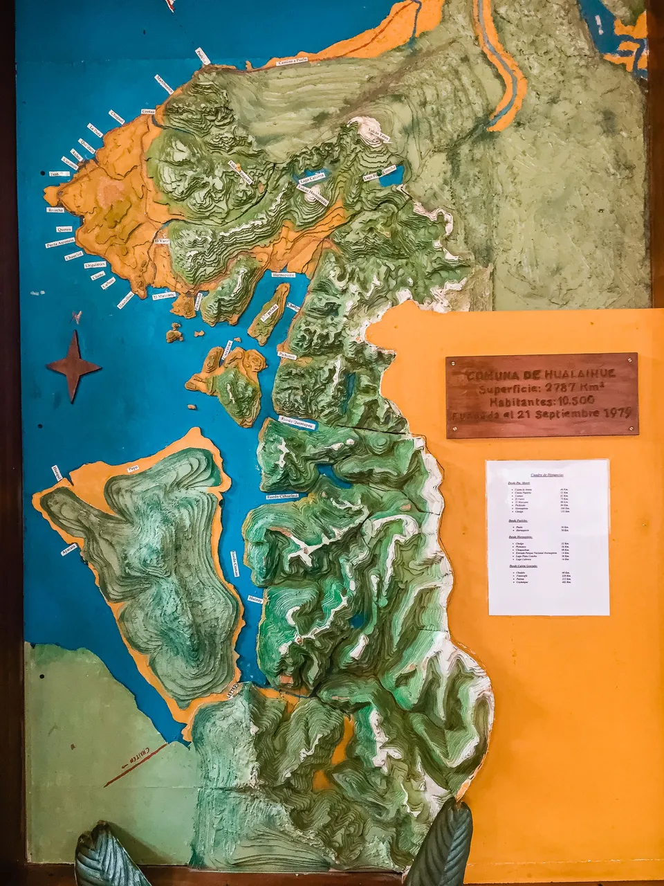
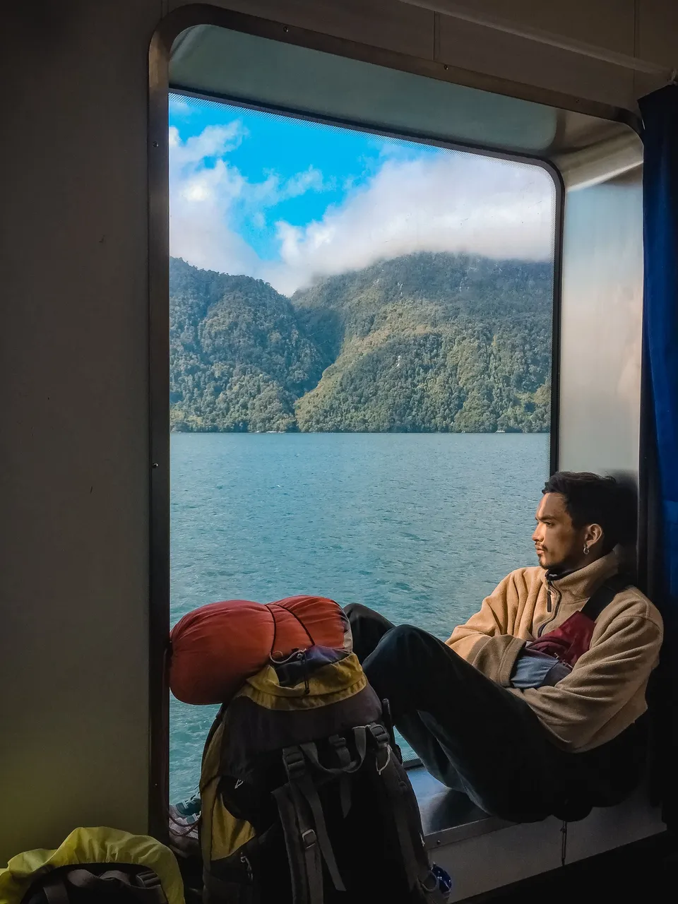
This National Park is not accessible by land. It is necessary to take a ferry that leaves from Hornopirén, capital of the commune of Hualaihué, in the Lakes Region, about 109 km south of Puerto Montt in Chile. From there the crossing consists of two sections. A ferry crosses fjords that emerge over the water forming channels and arms of the sea that go deep into the mountain range. Then a land stretch in which all passengers and their luggage are transferred aboard a bus to board a second ferry that at the end anchors in Caleta Gonzalo, the gateway to the Pumalín National Park.
Pumalín National Park is a fairly young protected area. It dates back to 1991 when the American multimillionaire Douglas Tompkins acquired 17,000 hectares in order to preserve the forest. Its foundation was gradually acquiring land until obtaining approximately 325,000 hectares in 2012.
In 2011, the Piñera government expropriated part of the land to carry out the paving project of the Carretera Austral.
In 2017, Tompkins' widow announced the donation of this and other protected areas to the Chilean Treasury.
In 2018, Pumalín National Park was officially created by decree.
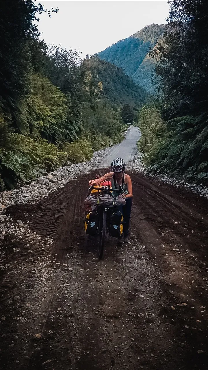
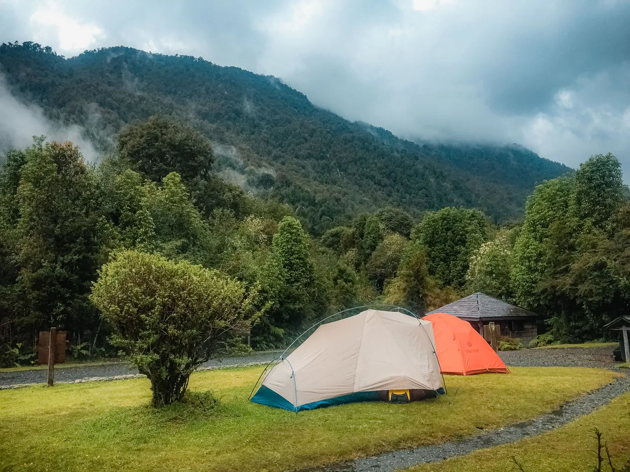
Arriving at Caleta Gonzalo we had to pedal 15 km to reach a campsite, which fortunately for us, at that time were free.
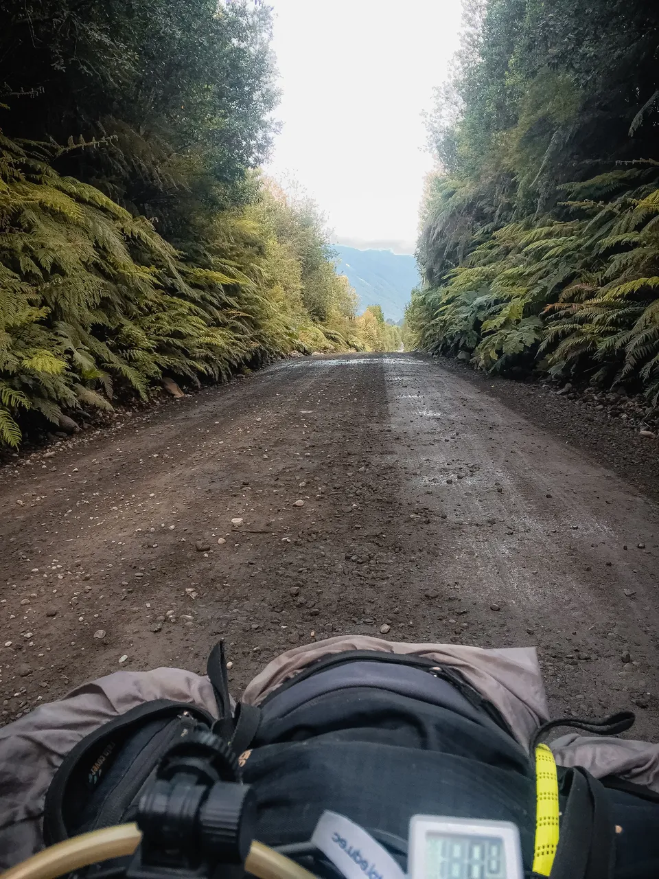
The landscape in this stretch changes dramatically. The humidity of the environment can be seen in the lush jungle that borders the dark dirt road and, in general, ultra compact
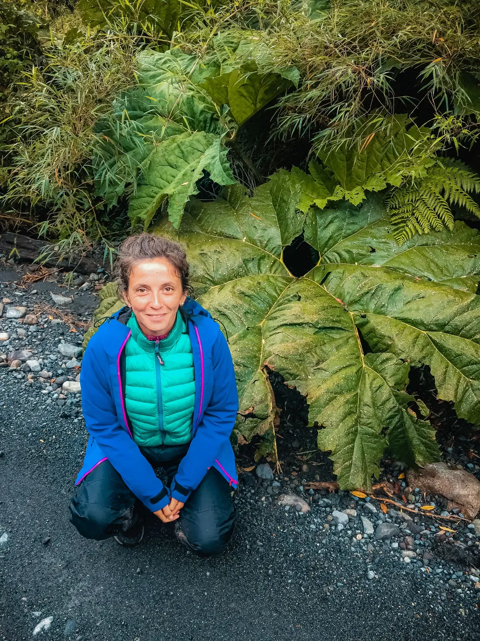
(except for some patches on the road like the one in the next photo). Large leaves fall on the banks. We later find out that they are called Nalcas and their stem is edible.
The campground is divided into camping areas with shared shelters and other areas of private plots. As always, when you arrive at these places, it is nice to find that all the people there are willing to share spaces and experiences.
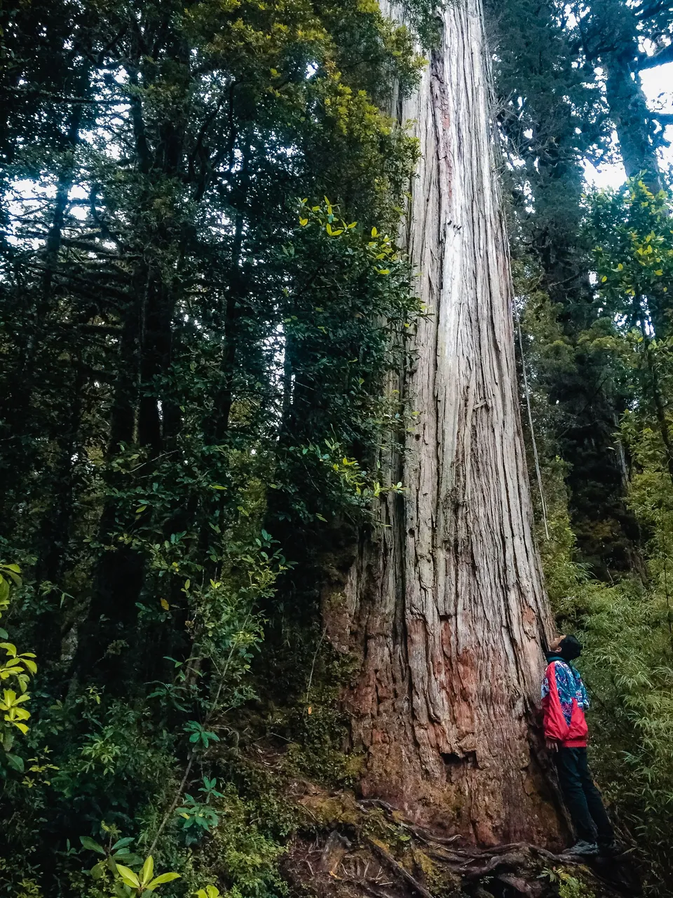
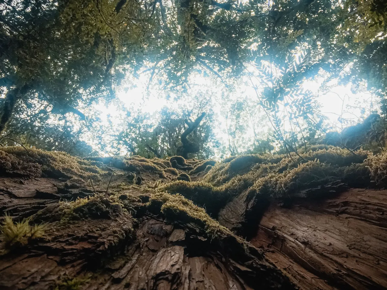
While we were making time we decided to do some trails where everything from rushing waterfalls to large Alerce trees are hidden in the forest.
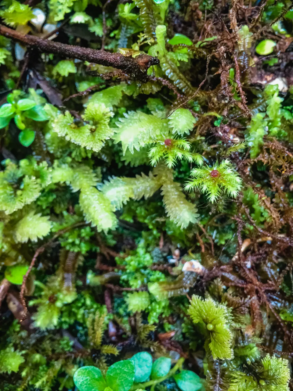
Small mosses, like micro-universes, cover the floors and old trunks on the trails. Water emerges from every leaf.
The climate in this region in summer is temperate but extremely humid. So, if you plan to visit it, I suggest that you bring waterproof clothing and a tent suitable for these climates.
When touring this park you will find countless trails to walk, which makes it a great attraction for adventure tourism.
The communion with this vast expanse of green, breathing all that wildlife is undoubtedly a before and after in the Carretera Austral.